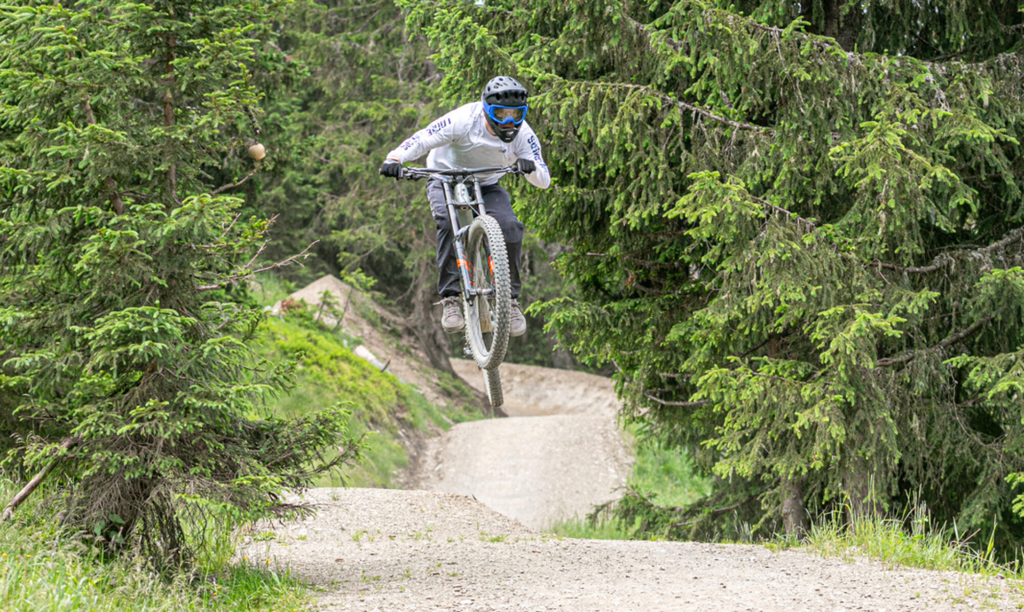
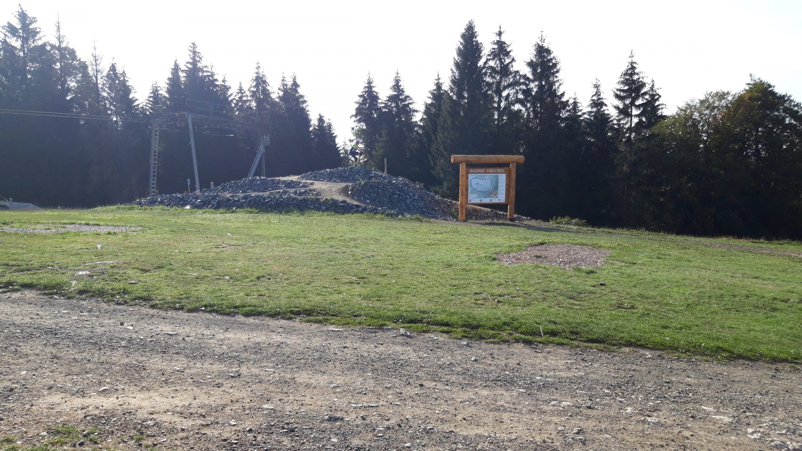
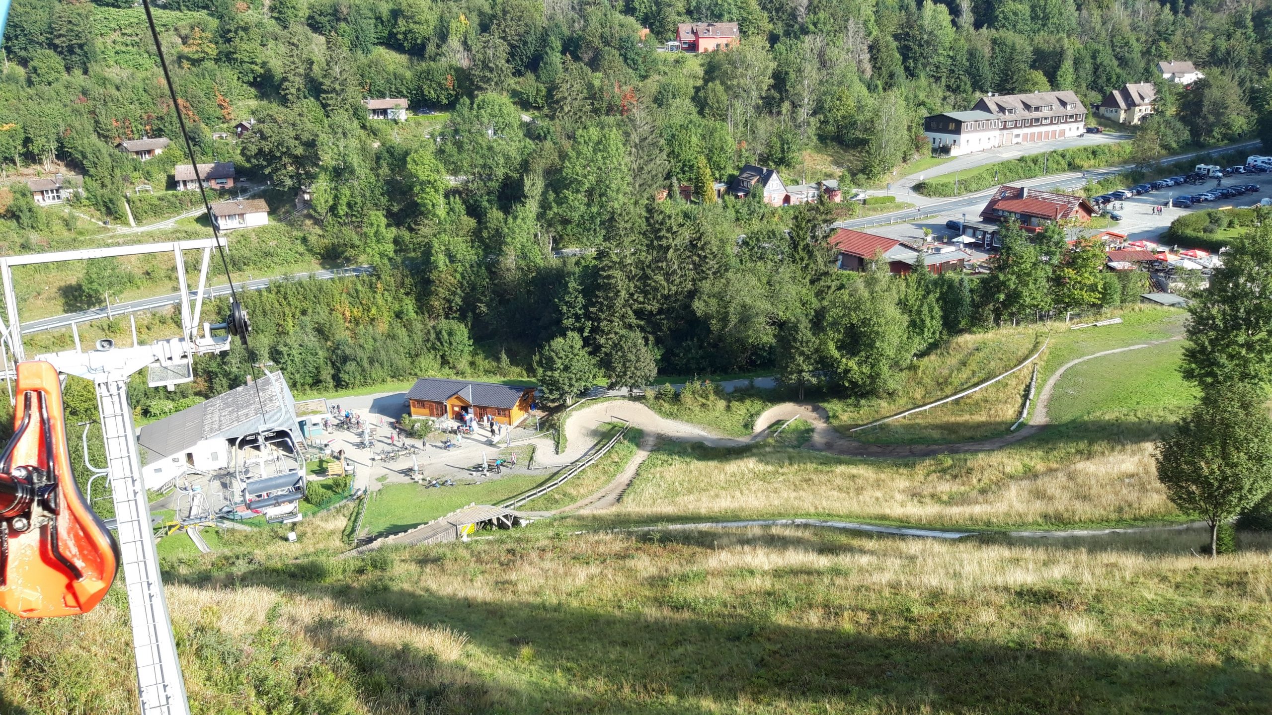
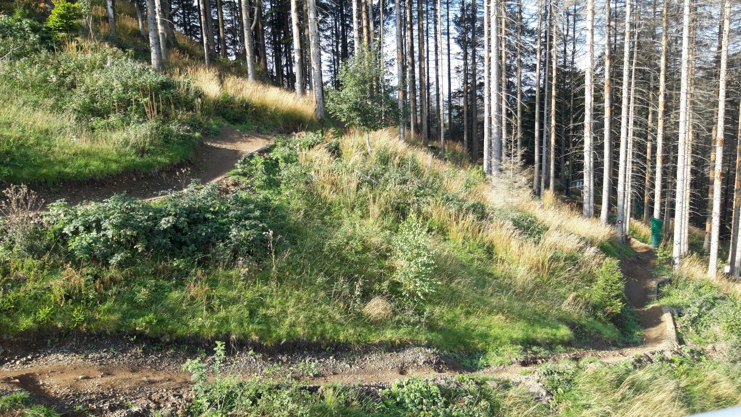
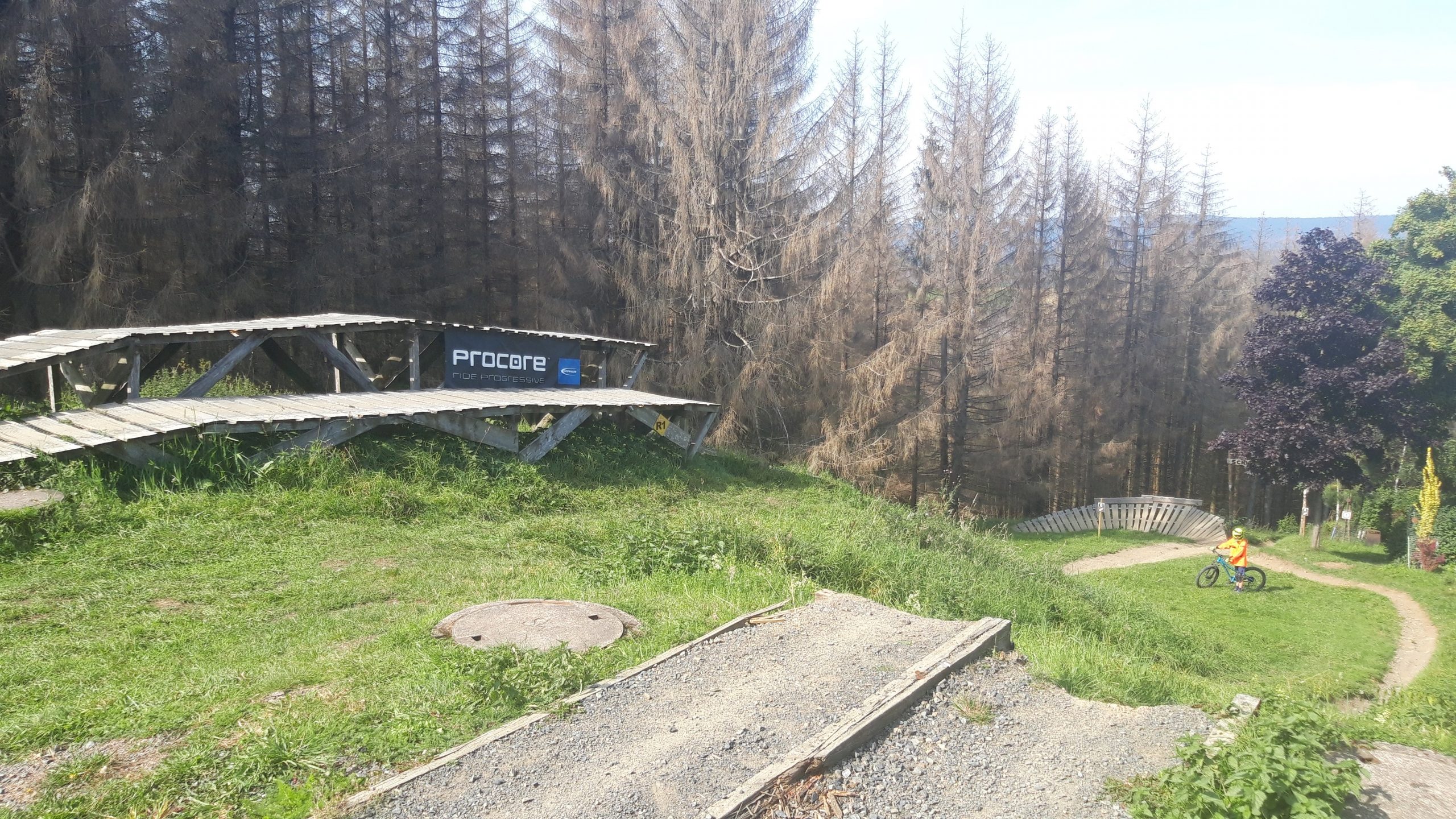
This bike park is located in the Harz Mountains (East Germany) and is primarily geared towards beginner downhillers. Most of the trails are not very difficult. The trails on the left are definitely worth a try.
Map of the route “MSB-X trails – St. Andreasberg”: 26,701 m, 1,903 m of climbing and 1,904 m of descent, elevation between 536 m and 665 m, time 04:19:27. It is a loop that starts and ends at 51.70851, 10.52320 (latitude, longitude).
Total distance: 26758 m Total climbing: 1903 m Total time: 04:19:27