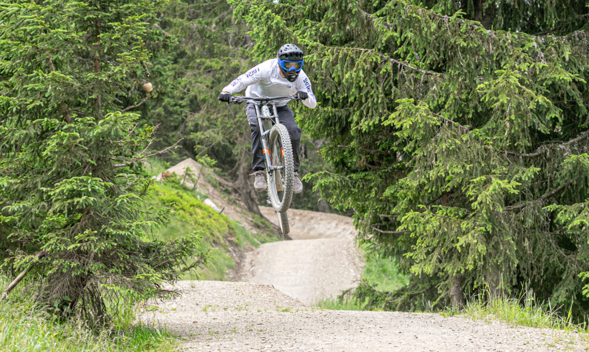
The German bike park Warstein may not be huge, but it certainly offers plenty of challenging trails. The elevation gain is limited, so the runs aren’t very long. However, they’ve made good use of all the possibilities. There’s even a slopestyle line with some seriously big jumps. The drag lift isn’t great, but it’s adequate.
© OpenStreetMap contributors
Map of the route “Bikepark Warstein”: 38,076 m, 1,333 m of climbing and 1,365 m of descent, elevation between 420 m and 540 m, time 05:31:43. It is a loop that starts and ends at 51.43958, 8.43246 (latitude, longitude).
Total distance: 38153 m
Total climbing: 1333 m
Total time: 05:32:27
Download file: 2022-04-18.gpxTotal climbing: 1333 m
Total time: 05:32:27