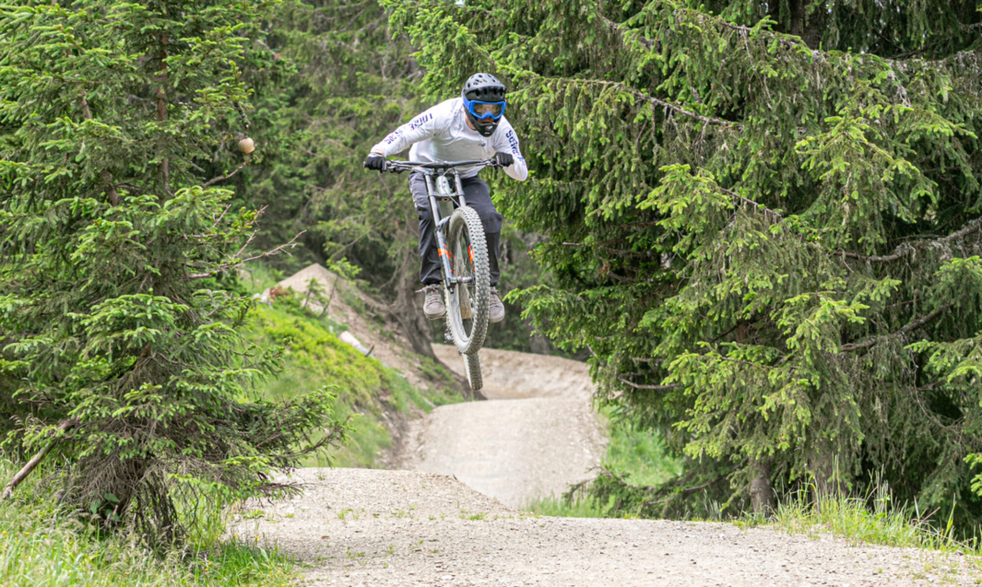
In addition to bike park trails, the Swiss town of Verbier has an extensive network of enduro trails. It’s a stunningly beautiful area with fantastic technical enduro trails. Enough trails to keep you busy for several days.
© OpenStreetMap contributors
Map of the route “Bikepark Verbier”: 74,514 m, 6,288 m of climbing and 6,267 m of descent, elevation between 867 m and 2,444 m, time 06:41:08. It is a loop that starts and ends at 46.09554, 7.22744 (latitude, longitude).
Total distance: 74802 m
Total climbing: 6288 m
Total time: 06:41:08
Download file: 2021-08-21%2017_08_39.gpxTotal climbing: 6288 m
Total time: 06:41:08