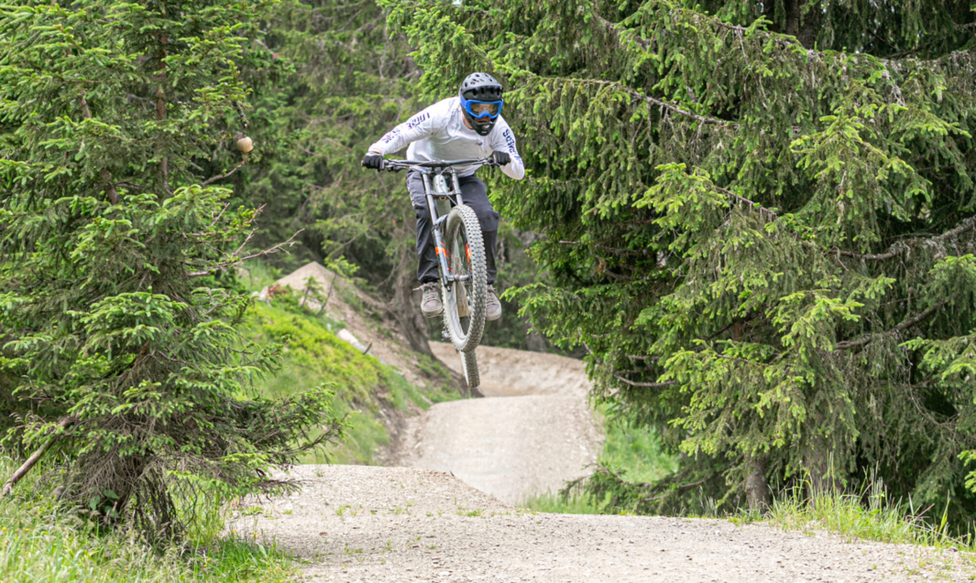
In Chaudfountain, you can now legally enjoy some beautiful enduro descents. The trails have nice fast sections and steep technical descents. The ascent is easy, so you’ll be back at the top quickly. The trails are mainly rocky and a good test for your suspension and tires.
© OpenStreetMap contributors
Map of the route “Trail center Chaudfountain”: 30,512 m, 1,030 m of climbing and 1,049 m of descent, elevation between 45 m and 208 m, time 04:51:16. It is a loop that starts and ends at 50.58658, 5.64224 (latitude, longitude).
Total distance: 30587 m
Total climbing: 1030 m
Total time: 04:51:59
Download file: 2022-04-16.gpxTotal climbing: 1030 m
Total time: 04:51:59