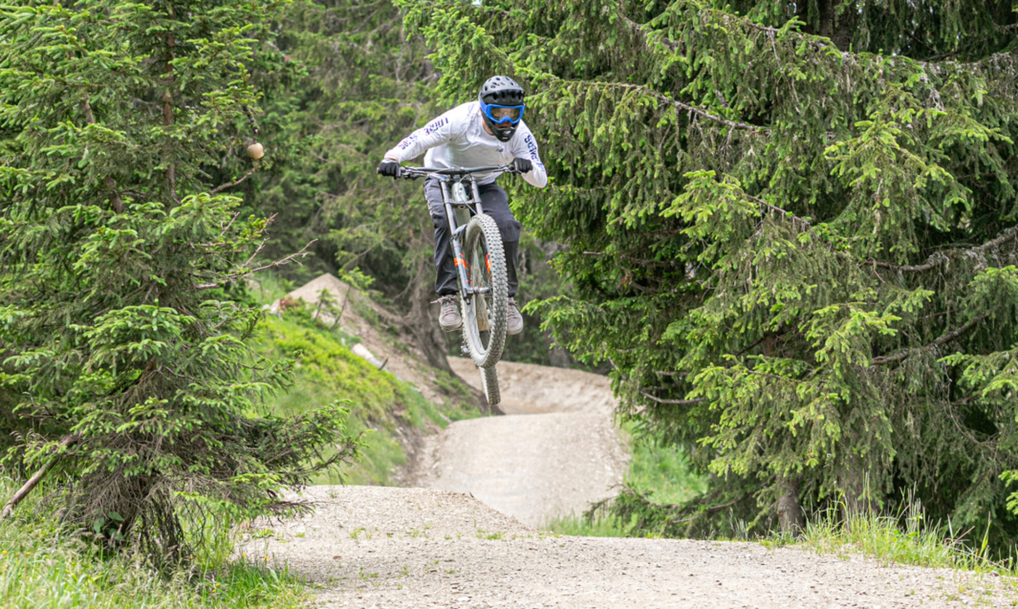
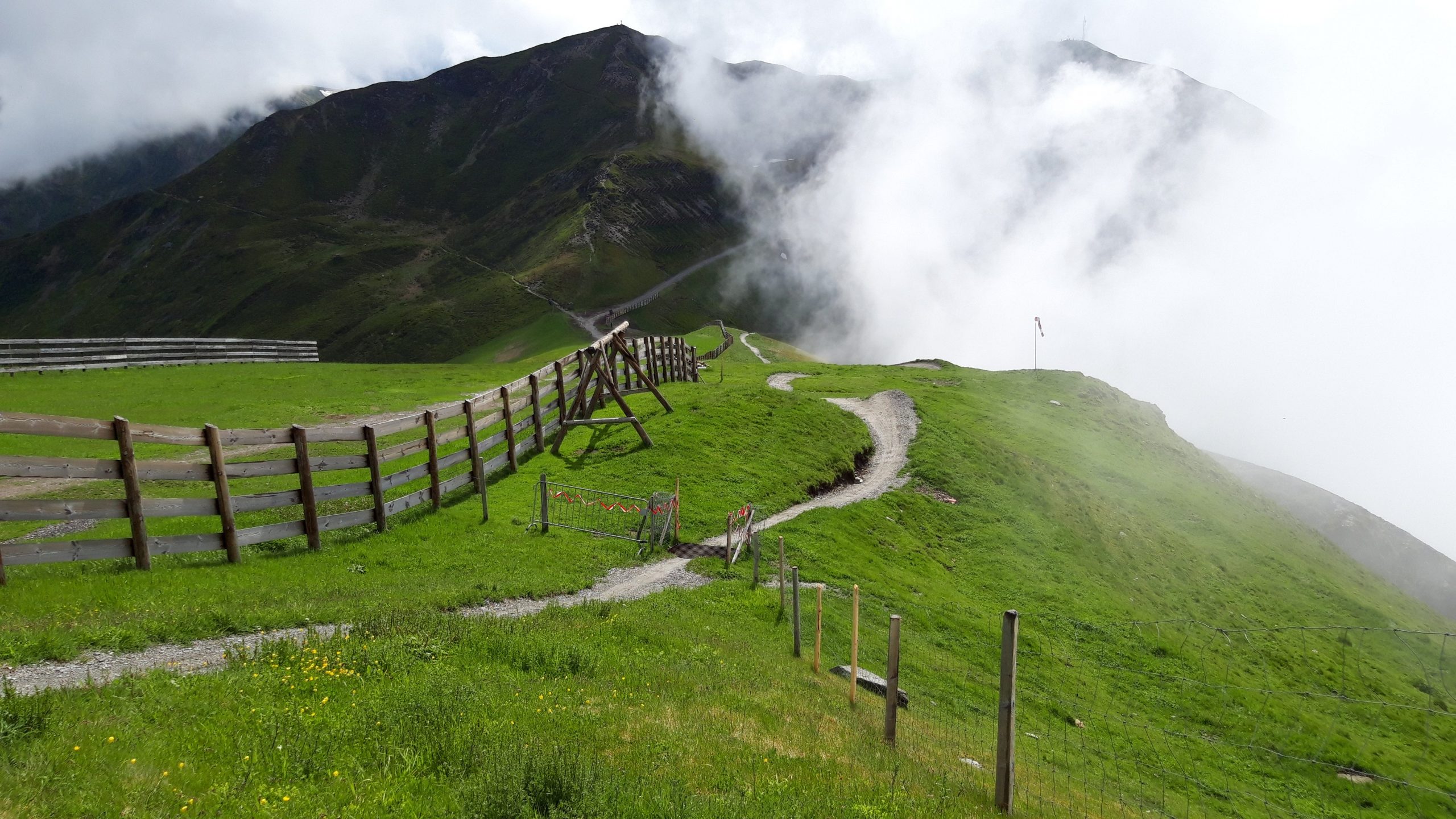
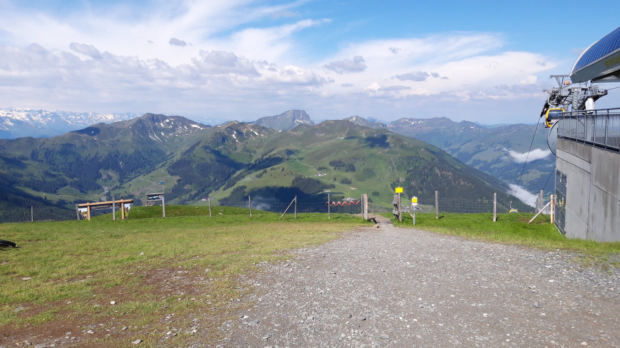
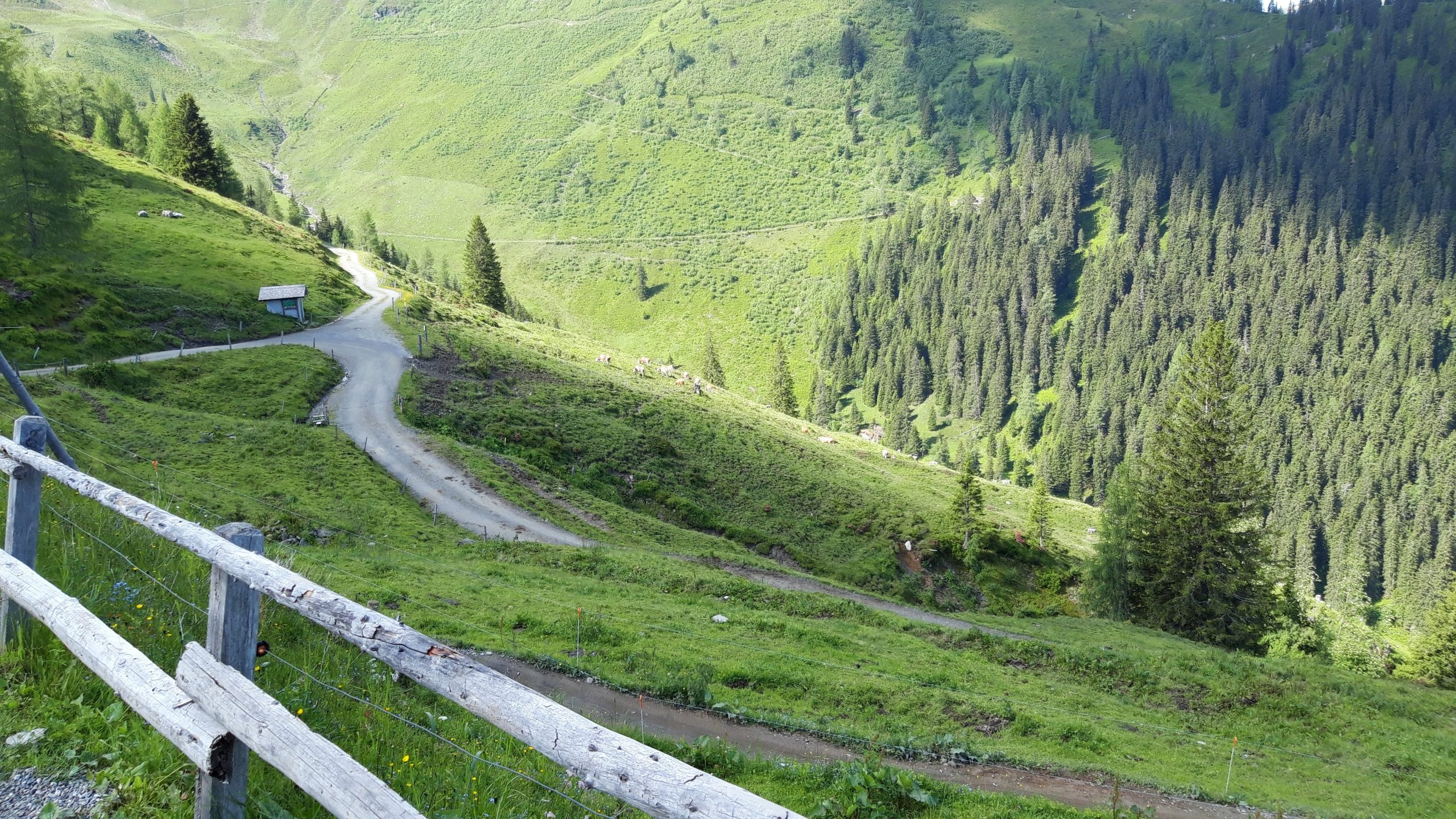
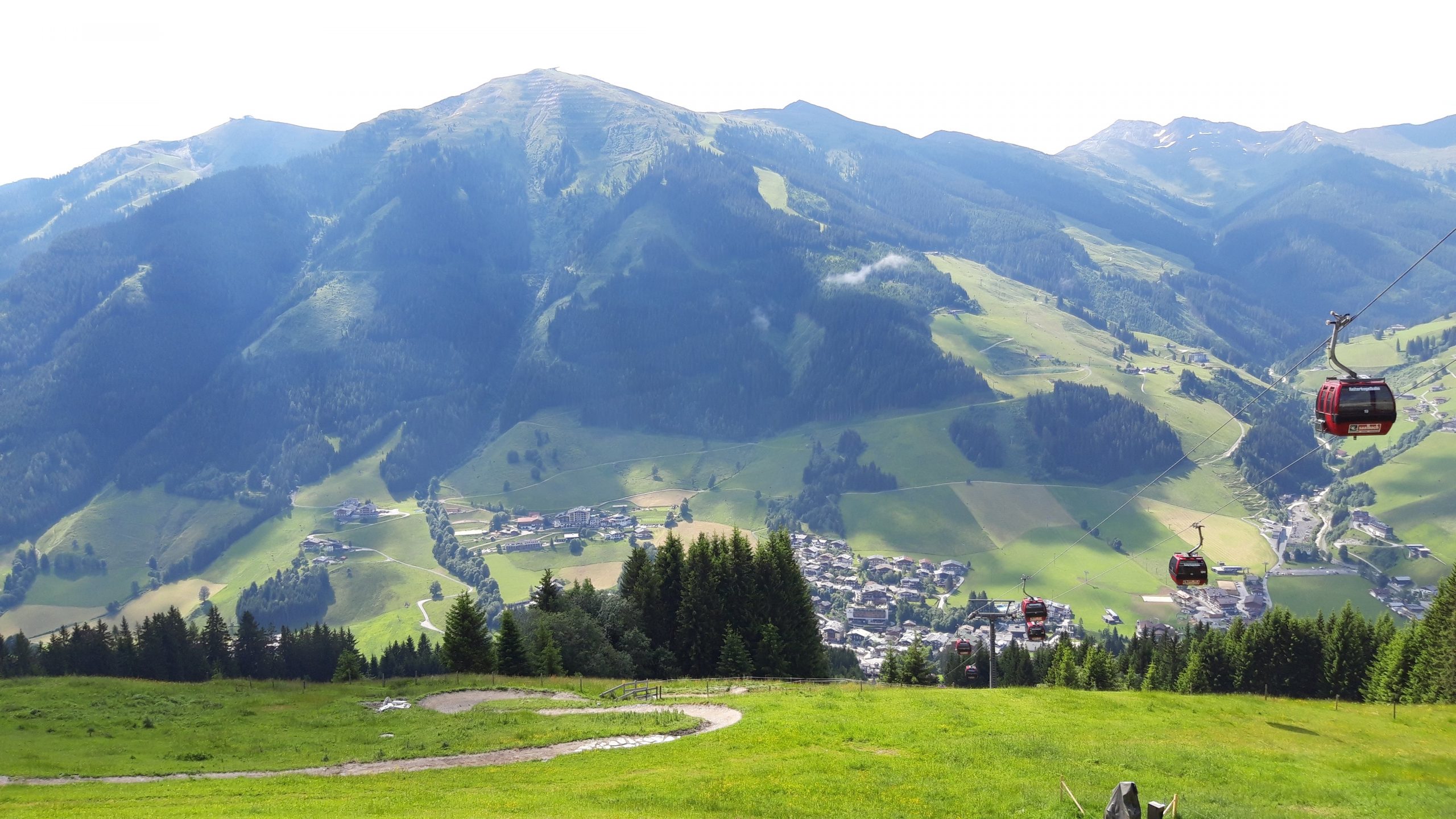
All the beautiful downhill trails of Saalbach and Hinterglemm combined in one day: the X-line, Z-line, Hacklberg trail, Buch-egg trail, Blue-line, Panorama trail, and Monti trail.
Map of the route “Saalbach – Downhill trails”: 89,620 m, 6,733 m of climbing and 6,756 m of descent, elevation between 999 m and 2,081 m, time 06:47:21. It is a loop that starts and ends at 47.39021, 12.62758 (latitude, longitude).
Total distance: 89798 m Total climbing: 6733 m Total time: 06:47:21