Trailpark Harz

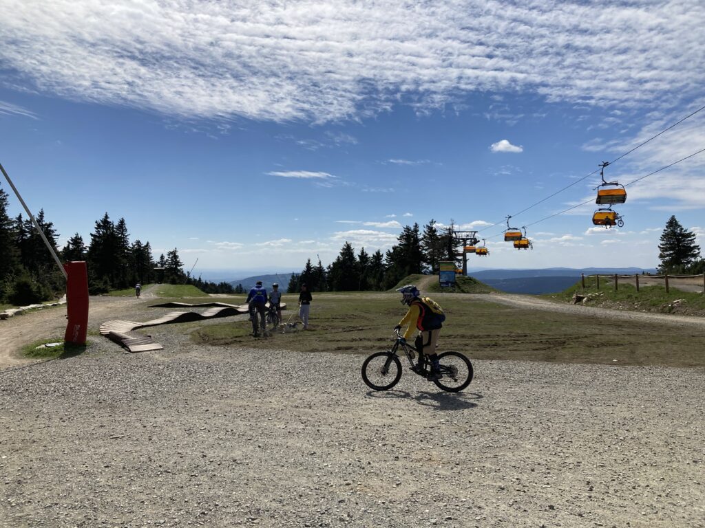
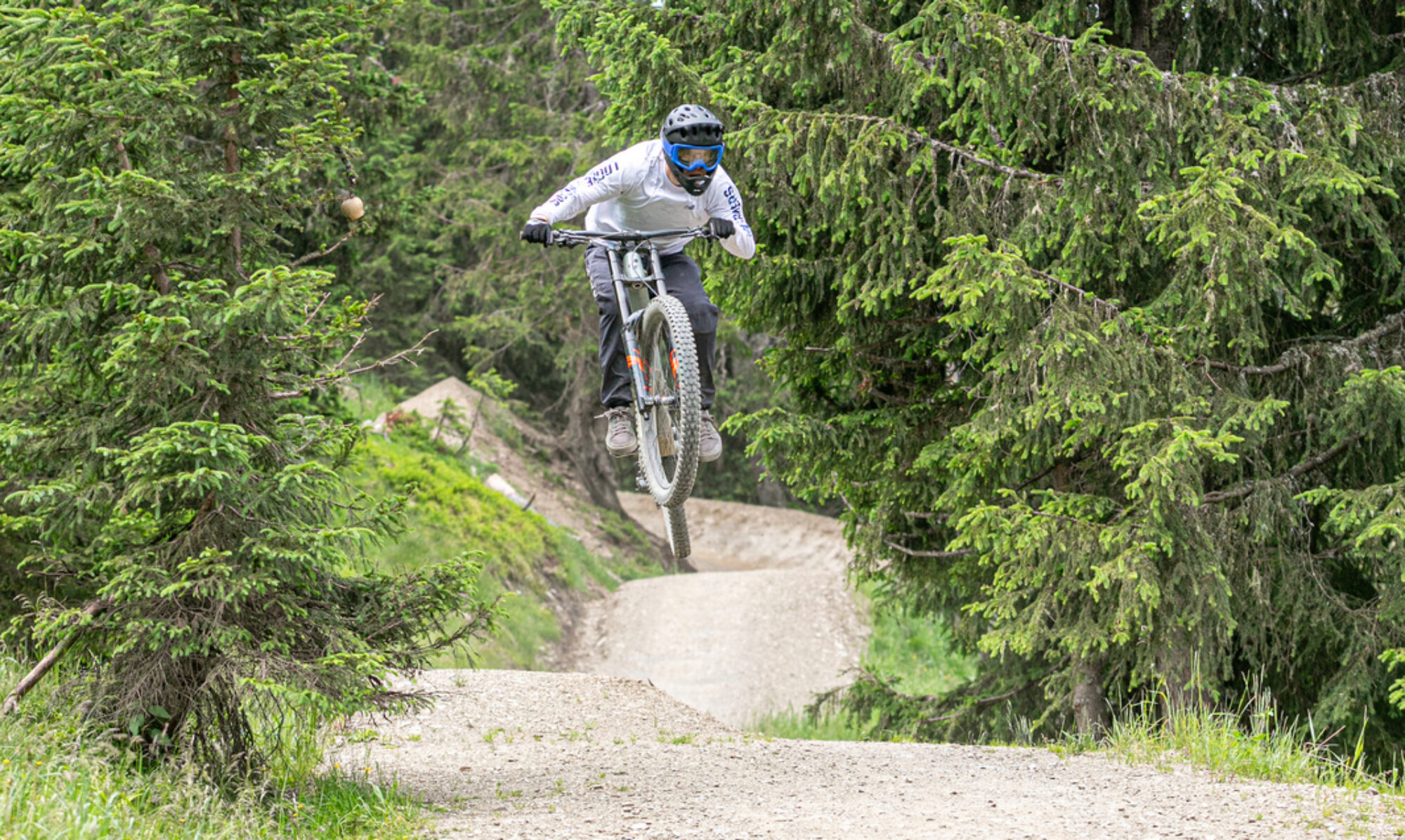
Nowadays, legal enduro trails can also be found in the Harz, near Ilsenburg. Beautiful, long trails with spectacular views, if you take the time to enjoy them. Highly recommended.

Map of the route “Trailpark Harz”: 31,502 m, 1,821 m of climbing and 1,827 m of descent, elevation between 275 m and 575 m, time 03:10:36. It is a loop that starts and ends at 51.84265, 10.72354 (latitude, longitude).

Total distance: 31582 m
Total climbing: 1821 m
Total time: 03:10:46
Download file: 2026-05-16.gpx

Bad Iburg – legal trails

Since the beginning of this year, several legal enduro trails have been available in Bad Iburg. This replaces the many illegal trails that were previously there. A positive development, as this leads to well-maintained trails and prevents problems with other forest users. The newly created trails are somewhat less exciting than the old ones, but still worth exploring in my opinion.

Map of the route “Bad Iburg – legal trails”: 40,933 m, 1,323 m of climbing and 1,427 m of descent, elevation between 61 m and 322 m, time 04:54:19. It is a loop that starts and ends at 52.17470, 8.02306 (latitude, longitude).

Total distance: 40990 m
Total climbing: 1323 m
Total time: 04:54:19
Download file: 2025-05-17.gpx

Bikepark Brandnertal

Bikepark Brandnertal is located on the western edge of Austria, near the Swiss border. The chairlifts aren’t particularly fast, but they do their job. The red and black trails are definitely worth a visit. A great park for a day of downhill riding.

Map of the route “Bikepark Brandnertal”: 49,361 m, 4,160 m of climbing and 4,143 m of descent, elevation between 1,147 m and 1,762 m, time 06:33:58. It is a loop that starts and ends at 47.14591, 9.76075 (latitude, longitude).

Total distance: 49532 m
Total climbing: 4160 m
Total time: 06:34:35
Download file: 2024-08-23.gpx

Bike Kingdom Lenzerheide

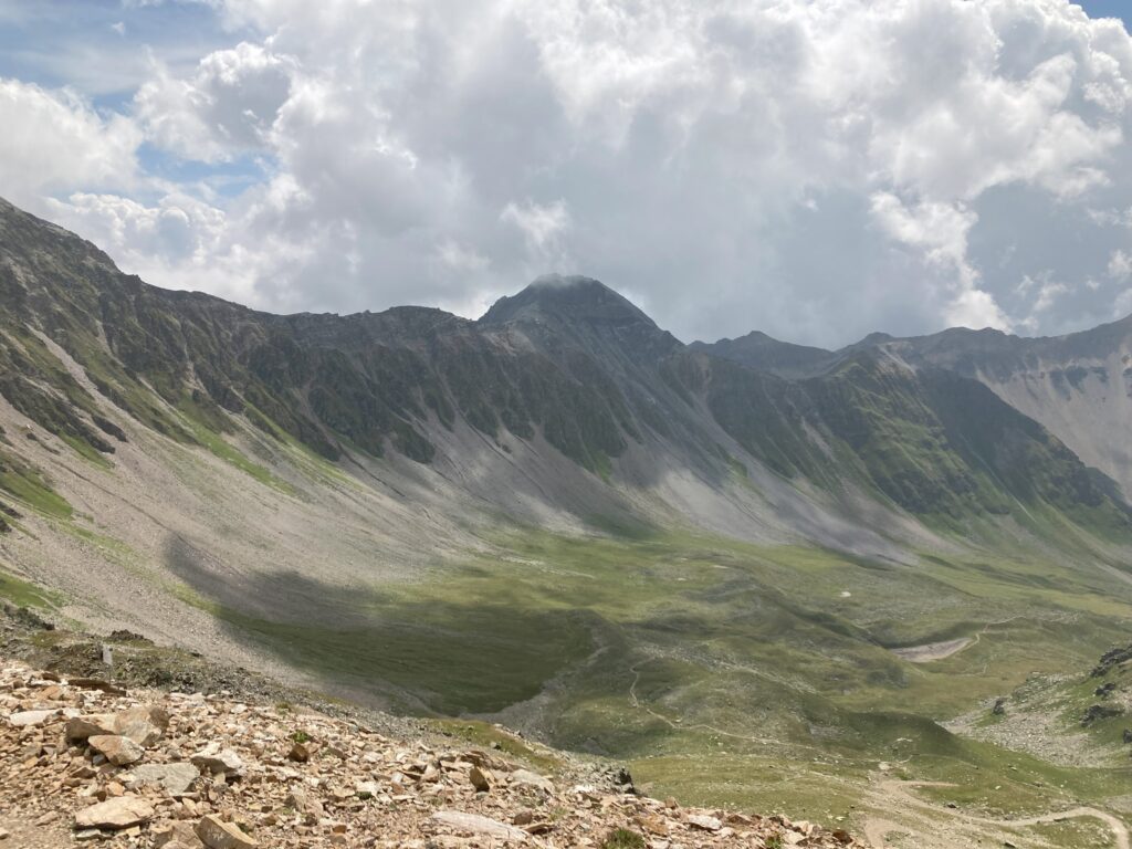
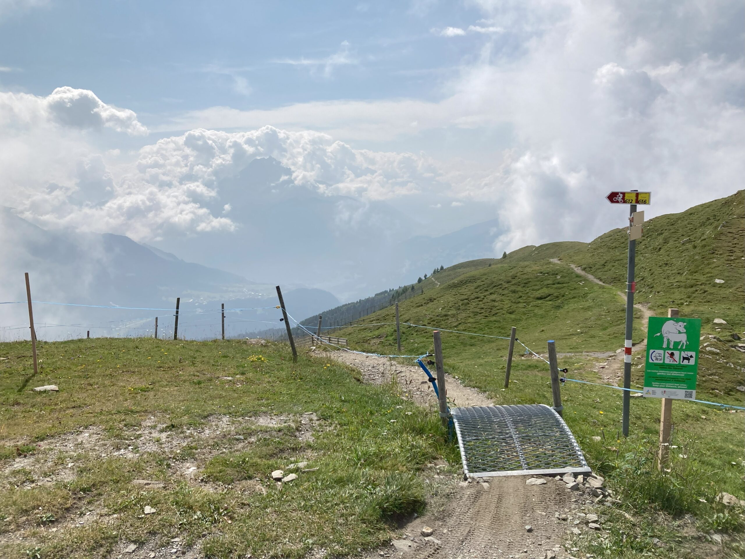
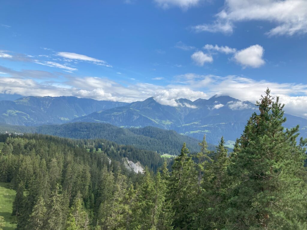
The Swiss Bike Kingdom of Lenzerheide is truly a top destination for mountain bikers. Not only does it have a fantastic bike park, but the surrounding area also has some fantastic enduro trails. It’s a great area where you can easily spend several days enjoying yourself. A real must-see in Switzerland.

Map of the route “Bike Kingdom Lenzerheide”: 77,836 m, 5,833 m of climbing and 5,863 m of descent, elevation between 1,186 m and 2,743 m, time 07:03:02. It starts at 46.75845, 9.56089 and ends at 46.75682, 9.56238 (latitude, longitude).

Total distance: 78197 m
Total climbing: 5833 m
Total time: 07:03:54
Download file: 2024-08-21.gpx

Bikepark Flims-Laax

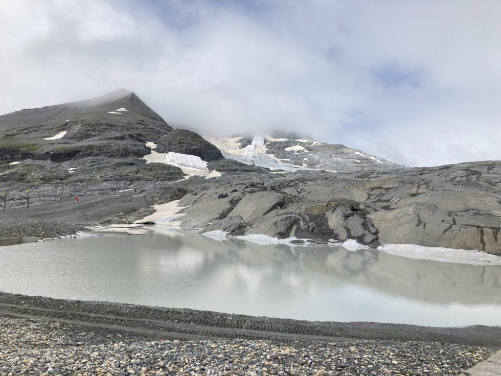
Bikepark Flims-Laax is located in Switzerland. The facilities are excellent. You can take a single lift up to 1200 meters. With a bit of additional climbing, it’s possible to reach the glacier. Beautiful surroundings and nice enduro trails.

Map of the route “Bikepark Flims-Laax”: 80,913 m, 5,266 m of climbing and 4,587 m of descent, elevation between 1,068 m and 2,592 m, time 07:37:05. It starts at 46.83657, 9.28804 and ends at 46.86139, 9.25122 (latitude, longitude).

Total distance: 81014 m
Total climbing: 5266 m
Total time: 07:37:11
Download file: 2024-08-19.gpx

Bikepark Spicak

In the Czech Republic, just across the German border, near Munich, lies bike park Spicak. The park has a few tracks. The downhill section is very chunky. The other tracks aren’t very challenging. I probably won’t be returning to this park.

Map of the route “Bikepark Spicak”: 36,139 m, 3,230 m of climbing and 3,205 m of descent, elevation between 861 m and 1,244 m, time 05:11:41. It is a loop that starts and ends at 49.16486, 13.22164 (latitude, longitude).

Total distance: 36150 m
Total climbing: 3230 m
Total time: 05:12:16
Download file: 2024-07-04.gpx

Bikepark Schladming

Schladming, Austria, also has a fantastic bike park. I was especially impressed with the 99-jump line, monster jump line, and World Cup downhill track. Great if you like big jumps and steep downhill tracks. Another favorite for me.

Map of the route “Bikepark Schladming”: 95,328 m, 8,571 m of climbing and 8,616 m of descent, elevation between 704 m and 1,820 m, time 06:59:30. It is a loop that starts and ends at 47.39229, 13.69431 (latitude, longitude).

Total distance: 95624 m
Total climbing: 8571 m
Total time: 06:59:34
Download file: 2024-07-02.gpx

Bikepark Leogang

Epic Bikepark Leogang certainly lives up to its name. What a fantastic park with stunning trails. You could easily spend several days here before you’ve thoroughly ridden all the trails. A favorite worth repeating.

Map of the route “Bikepark Leogang”: 76,177 m, 5,565 m of climbing and 5,588 m of descent, elevation between 803 m and 1,744 m, time 07:34:44. It is a loop that starts and ends at 47.43964, 12.72026 (latitude, longitude).

Total distance: 76372 m
Total climbing: 5565 m
Total time: 07:35:03
Download file: 2024-06-28.gpx

Halde Hoppenbruck

Near Herten in Germany, there’s also a hill with downhill tracks called Halde Hoppenbruch. Not to be confused with Halde Nord Deutschland. The trails are fun and varied, and exceptionally well-maintained. Definitely worth a day of biking.

Map of the route “Halde Hoppenbruck”: 24,053 m, 677 m of climbing and 677 m of descent, elevation between 31 m and 114 m, time 02:49:14. It is a loop that starts and ends at 51.56403, 7.16094 (latitude, longitude).

Total distance: 24063 m
Total climbing: 677 m
Total time: 02:49:18
Download file: 2024-06-07.gpx

Trailpark Klinovec

Bikepark Klinovec is located in the Czech Republic, close to the German border. Therefore, you’ll mainly see German mountain bikers there. The park has beautiful, long downhill trails. The black trails are especially worth a try. The DH and Illegal trail are so hard that it’s a challenge to ride them down in one go. A surprisingly good park.

Map of the route “Trailpark Klinovec”: 74,835 m, 5,414 m of climbing and 5,443 m of descent, elevation between 729 m and 1,235 m, time 07:17:39. It is a loop that starts and ends at 50.39411, 12.96793 (latitude, longitude).

Total distance: 74904 m
Total climbing: 5414 m
Total time: 07:17:43
Download file: 2024-05-10.gpx