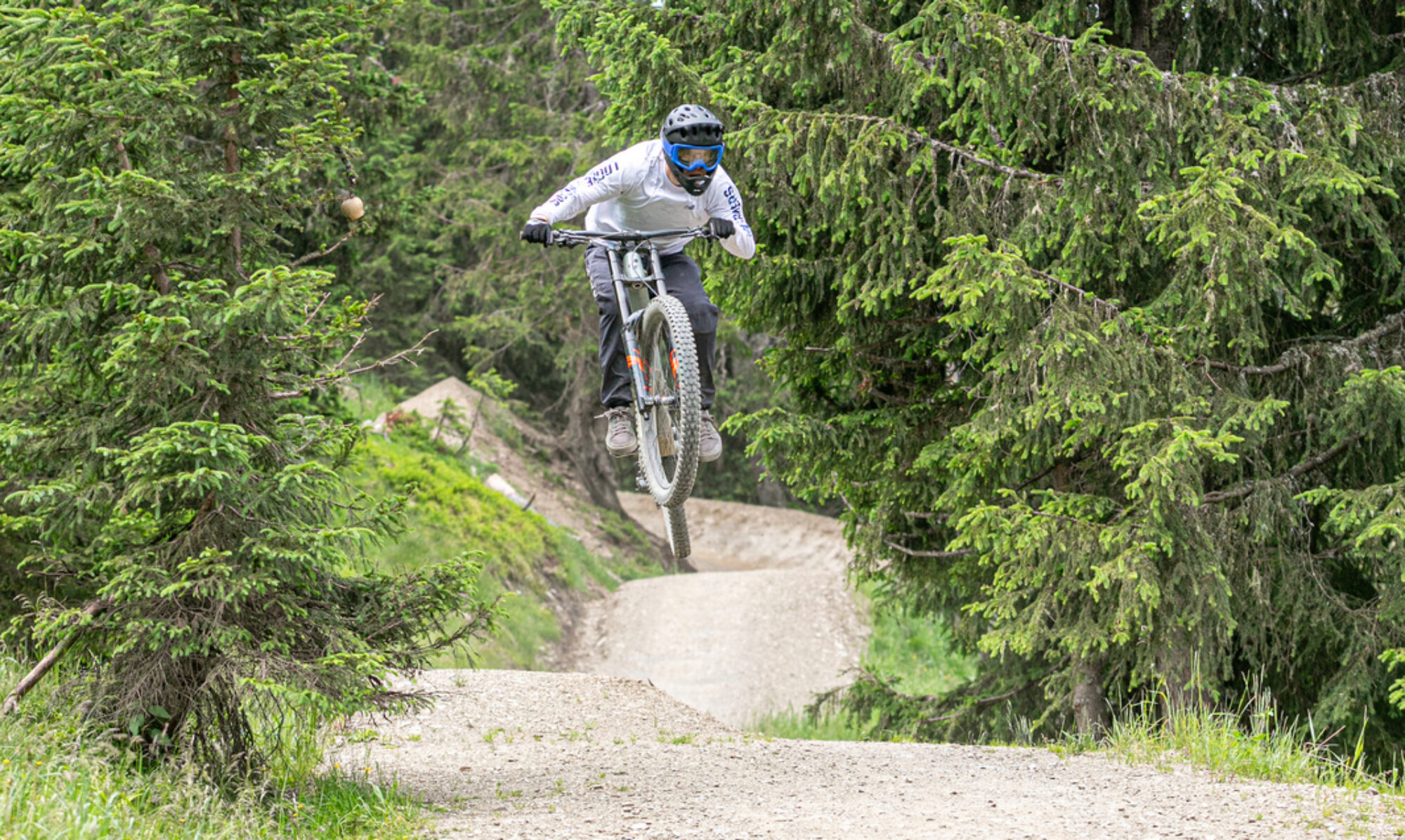
Since the beginning of this year, several legal enduro trails have been available in Bad Iburg. This replaces the many illegal trails that were previously there. A positive development, as this leads to well-maintained trails and prevents problems with other forest users. The newly created trails are somewhat less exciting than the old ones, but still worth exploring in my opinion.
© OpenStreetMap contributors
Map of the route “Bad Iburg – legal trails”: 40,933 m, 1,323 m of climbing and 1,427 m of descent, elevation between 61 m and 322 m, time 04:54:19. It is a loop that starts and ends at 52.17470, 8.02306 (latitude, longitude).
Total distance: 40990 m
Total climbing: 1323 m
Total time: 04:54:19
Download file: 2025-05-17.gpxTotal climbing: 1323 m
Total time: 04:54:19