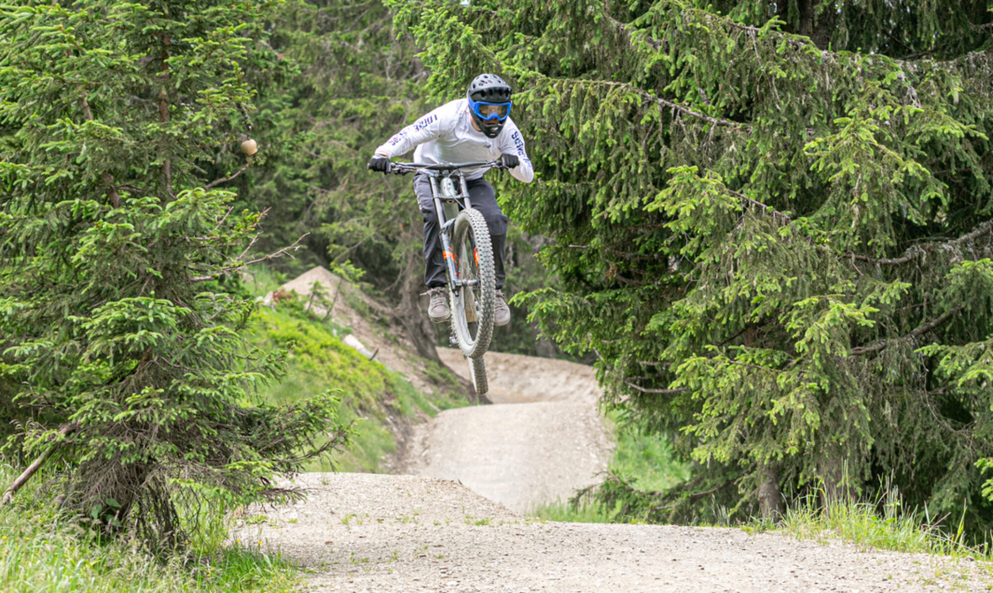
In the Czech Republic, just across the German border, near Munich, lies bike park Spicak. The park has a few tracks. The downhill section is very chunky. The other tracks aren’t very challenging. I probably won’t be returning to this park.
© OpenStreetMap contributors
Map of the route “Bikepark Spicak”: 36,139 m, 3,230 m of climbing and 3,205 m of descent, elevation between 861 m and 1,244 m, time 05:11:41. It is a loop that starts and ends at 49.16486, 13.22164 (latitude, longitude).
Total distance: 36150 m
Total climbing: 3230 m
Total time: 05:12:16
Download file: 2024-07-04.gpxTotal climbing: 3230 m
Total time: 05:12:16