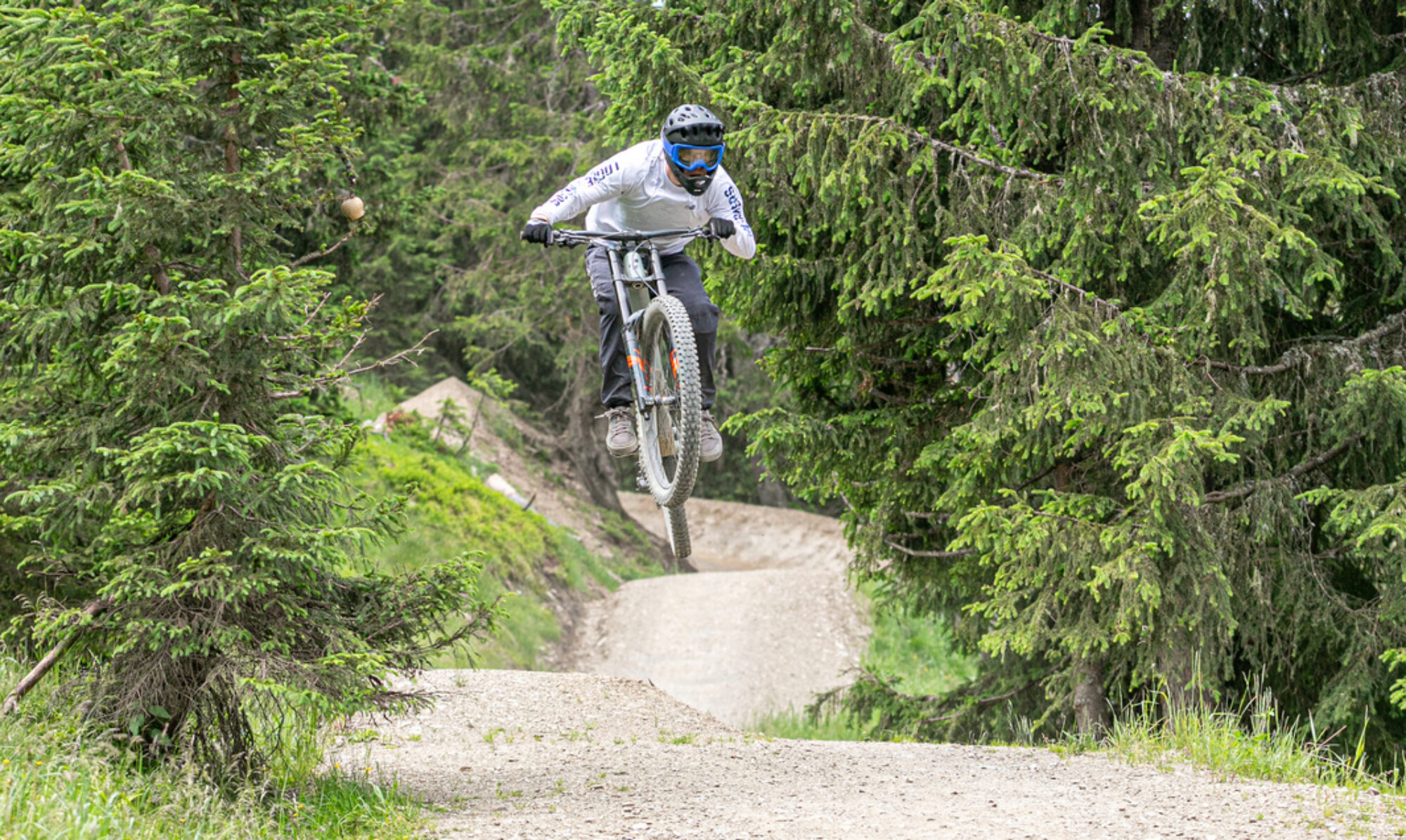
In Tsjechië vlak over de grens met Duitsland, ter hoogte van München, ligt bikepark Spicak. Het park heeft een aantal lijnen. De downhill is erg chunky. De andere lijnen zijn weer niet heel uitdagend. Niet een park waar ik nog naar terug ga waarschijnlijk.
© OpenStreetMap contributors
Map of the route “Bikepark Spicak”: 36.139 m, 3.230 m of climbing and 3.205 m of descent, elevation between 861 m and 1.244 m, time 05:11:41. It is a loop that starts and ends at 49.16486, 13.22164 (latitude, longitude).
Total distance: 36150 m
Total climbing: 3230 m
Total time: 05:12:16
Download file: 2024-07-04.gpxTotal climbing: 3230 m
Total time: 05:12:16