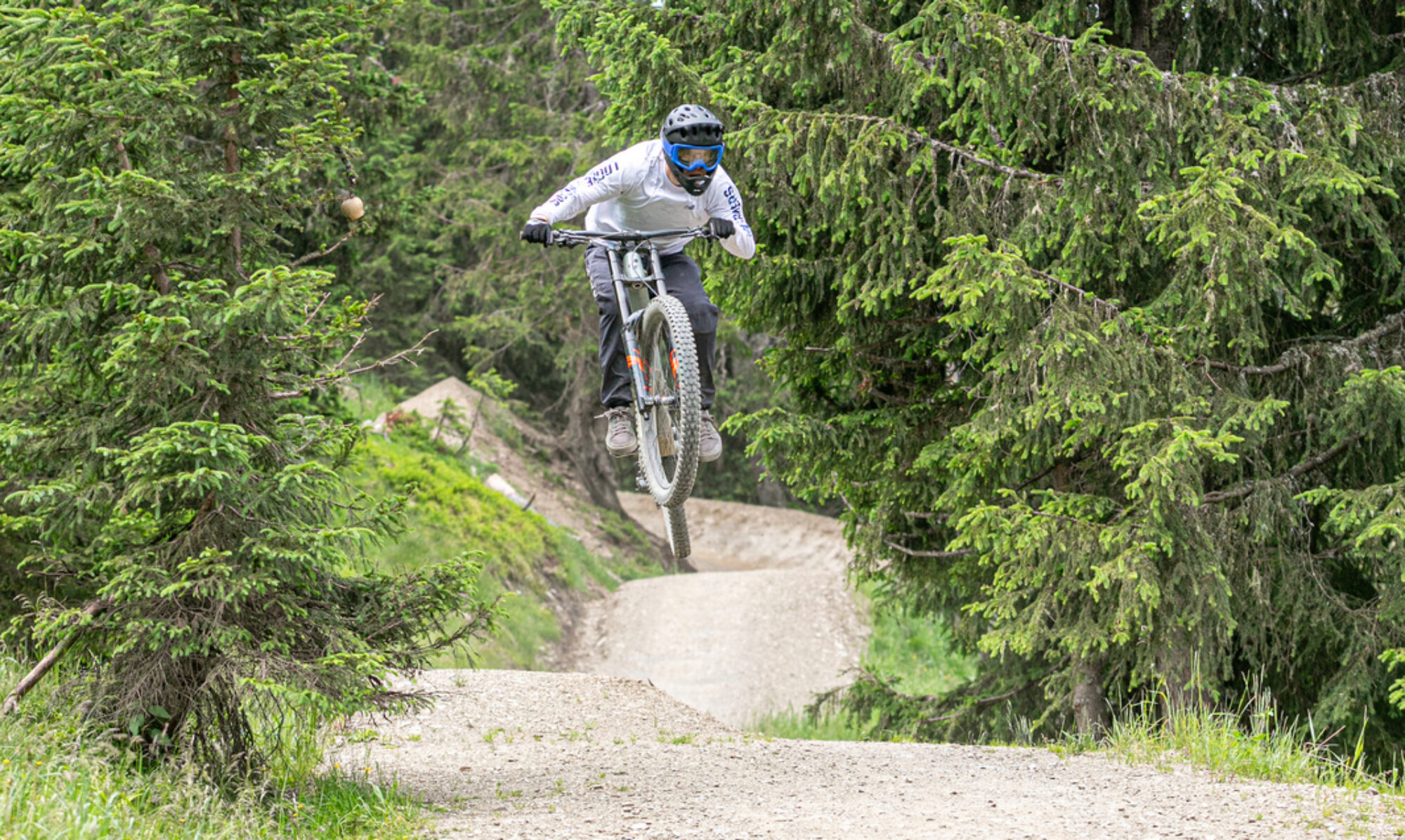
Het Zwitserse Verbier heeft naast bikepark trails een uitgebreidt netwerk van enduro trails. Een supermooi gebied met mooie technische enduro trails. Voldoende trails om meerdere dagen mee te vullen.
© OpenStreetMap contributors
Map of the route “Bikepark Verbier”: 74.514 m, 6.288 m of climbing and 6.267 m of descent, elevation between 867 m and 2.444 m, time 06:41:08. It is a loop that starts and ends at 46.09554, 7.22744 (latitude, longitude).
Total distance: 74802 m
Total climbing: 6288 m
Total time: 06:41:08
Download file: 2021-08-21%2017_08_39.gpxTotal climbing: 6288 m
Total time: 06:41:08