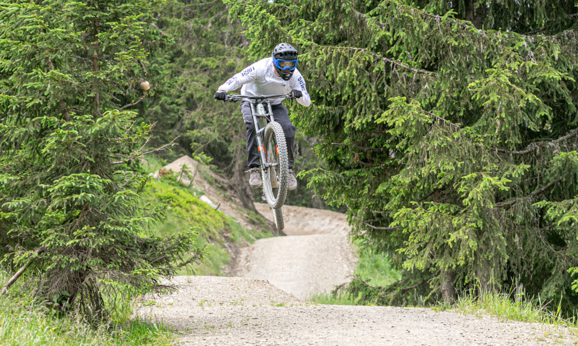
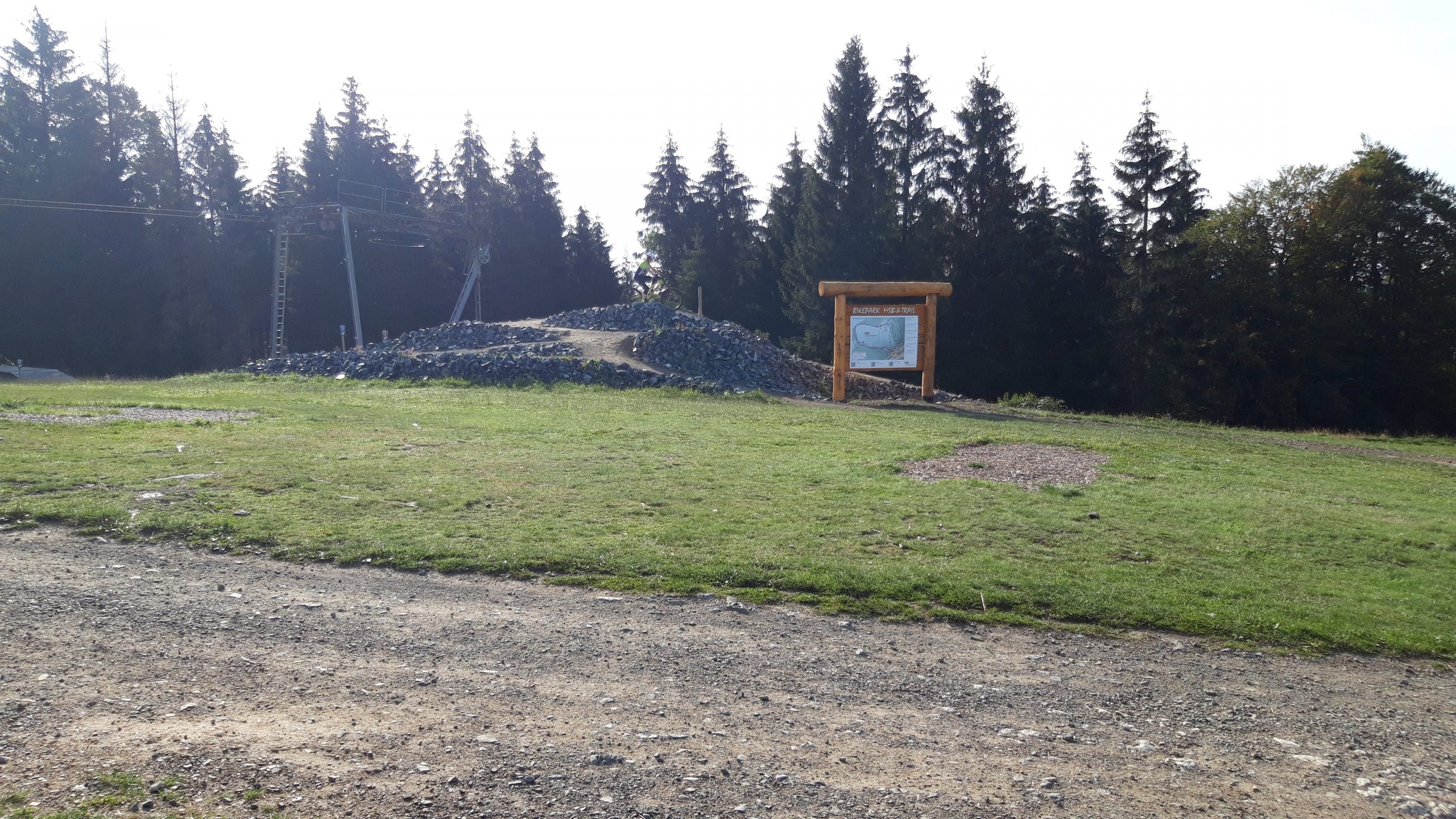
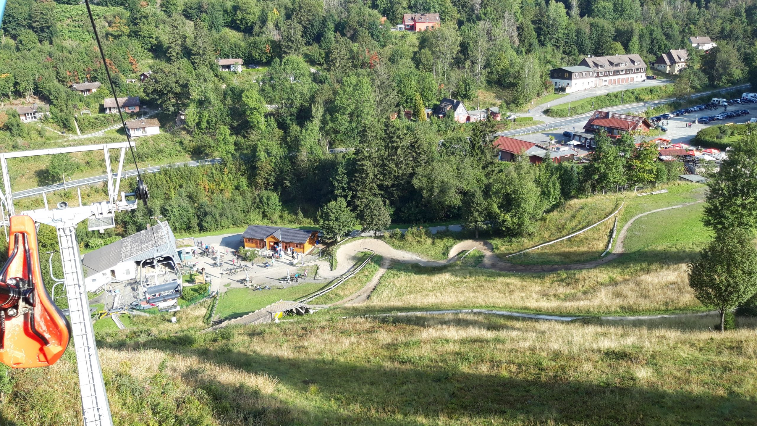
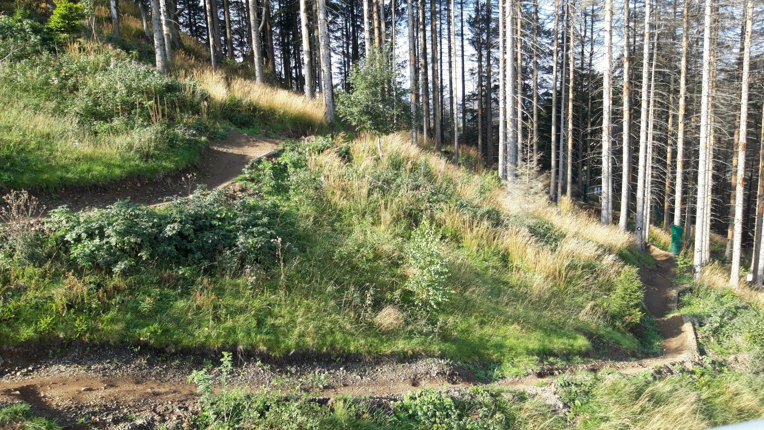
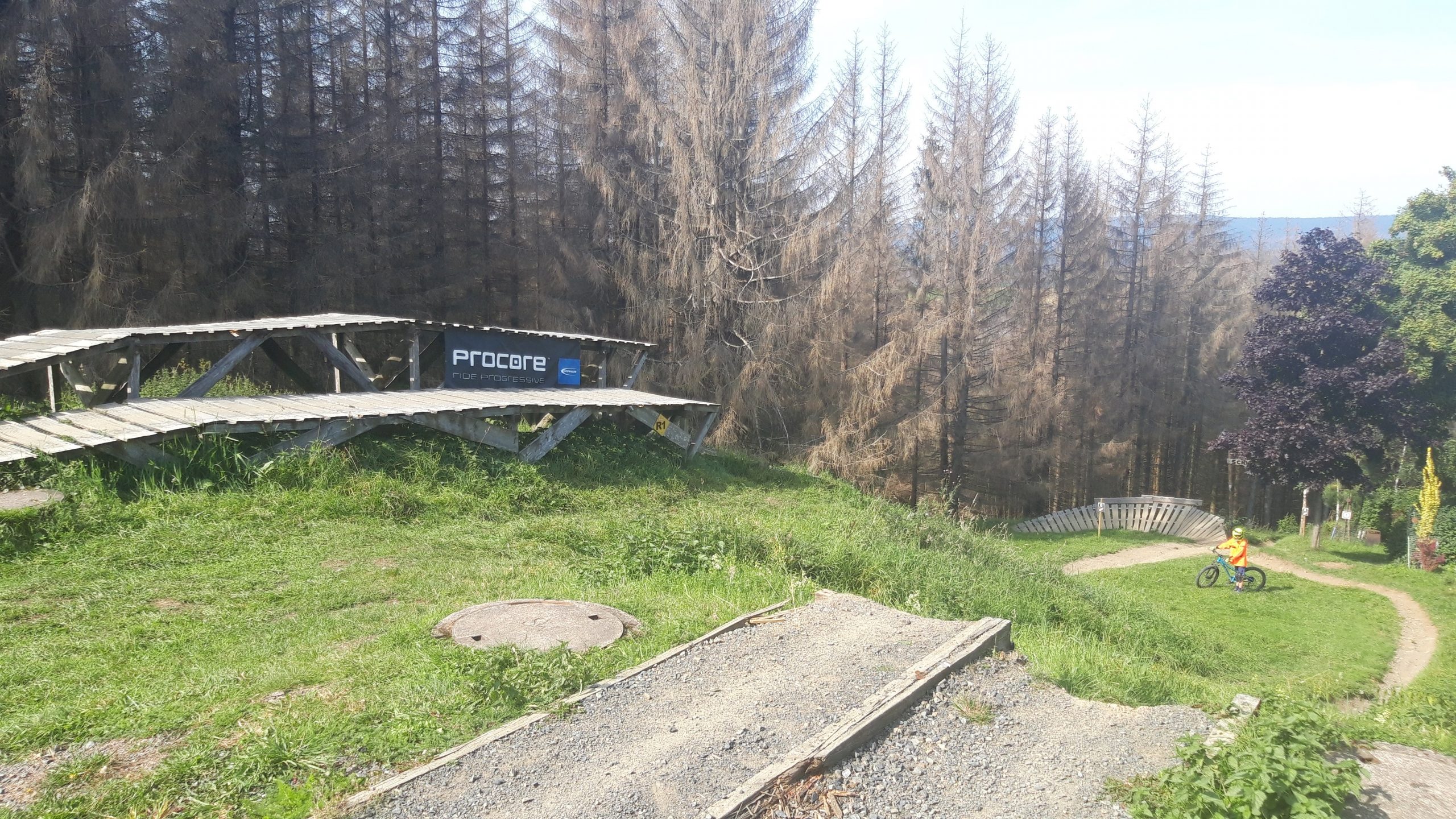
Dit bikepark ligt in de Harz (Oost Duitsland) en is met name op de beginnende downhiller gericht. De meeste afdalingen zijn niet heel moeilijk. De afdalingen aan de linkerkant zijn wel de moeite waard.
Map of the route “MSB-X trails – St. Andreasberg”: 26.701 m, 1.903 m of climbing and 1.904 m of descent, elevation between 536 m and 665 m, time 04:19:27. It is a loop that starts and ends at 51.70851, 10.52320 (latitude, longitude).
Total distance: 26758 m Total climbing: 1903 m Total time: 04:19:27