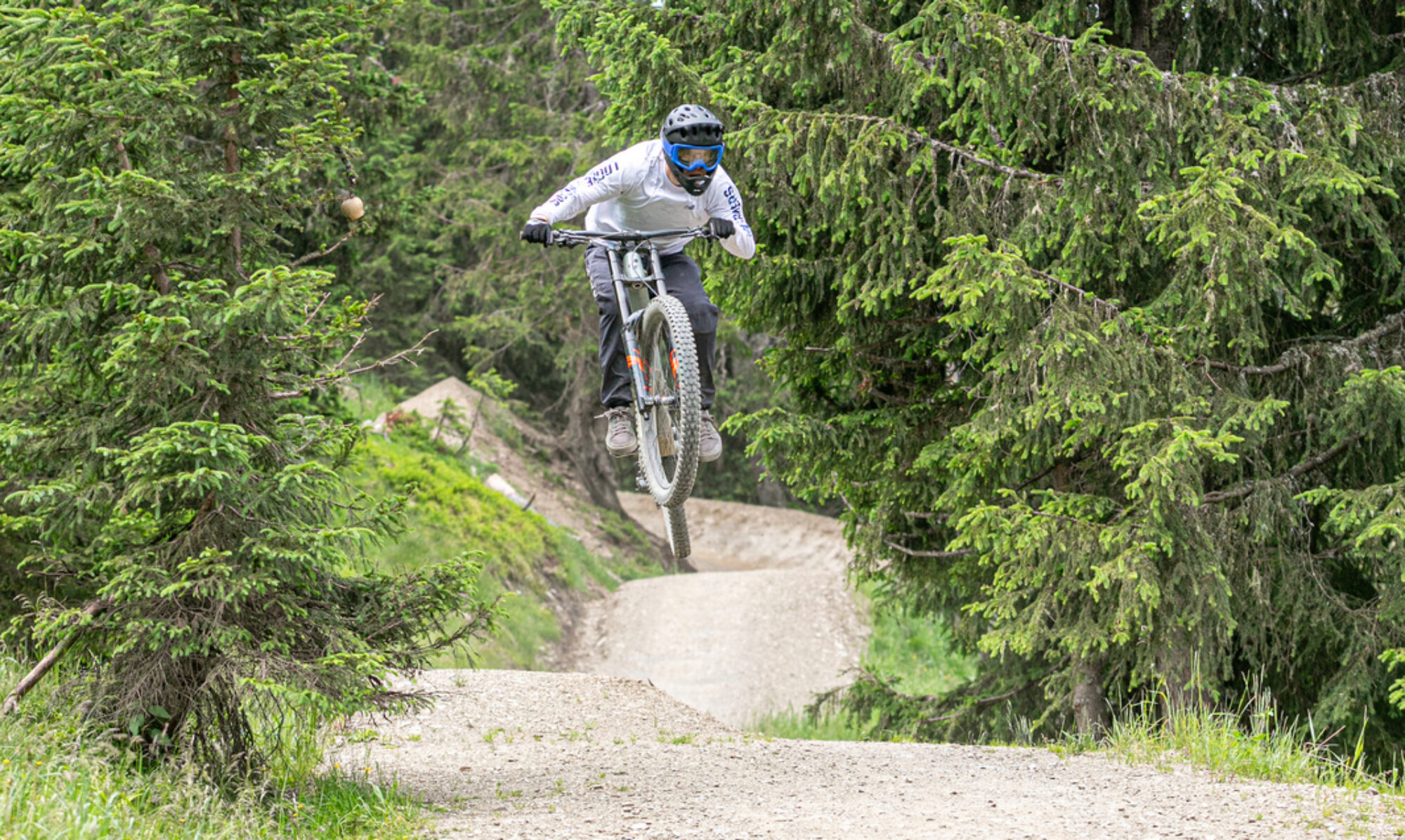
In de Franse Vogezen ligt het bikepark Lac Blanc. Het park heeft verschillende tracks van makkelijk tot moeilijk. Enduro lijnen, downhill lijnen en jump lijnen van blauw tot zwart. Een leuk park waar je je zeker meer dan een dag kunt vermaken.
© OpenStreetMap contributors
Map of the route “Bikepark Lac Blanc”: 40.064 m, 3.207 m of climbing and 3.261 m of descent, elevation between 798 m and 1.146 m, time 03:52:40. It is a loop that starts and ends at 48.14616, 7.07724 (latitude, longitude).
Total distance: 40237 m
Total climbing: 3207 m
Total time: 03:52:47
Download file: 2021-07-04.gpxTotal climbing: 3207 m
Total time: 03:52:47