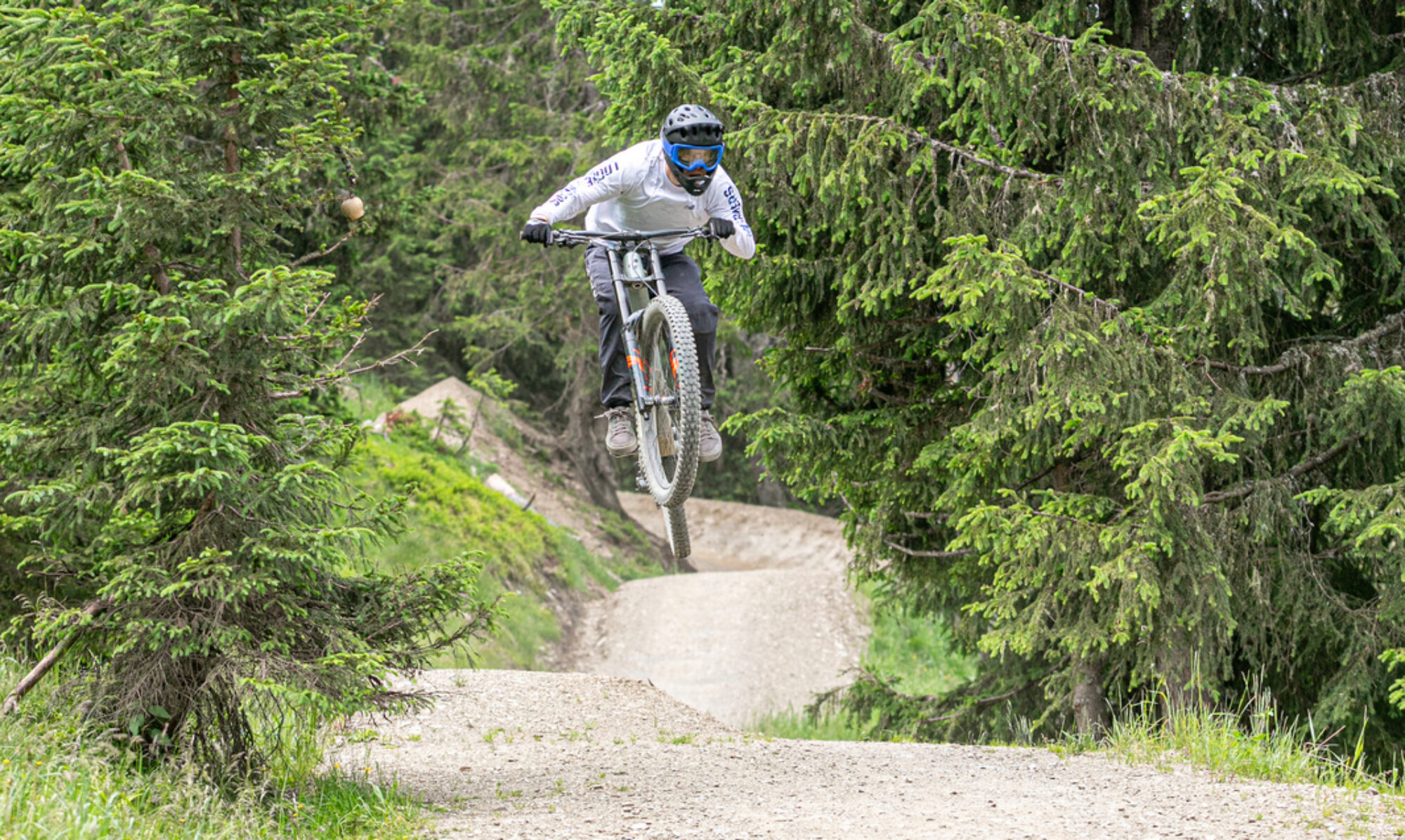
This is one of my favorite bike parks in Germany. Great trails, especially the enduro and downhill tracks. Good lifts and excellent facilities. In short, everything for a great day of downhill riding.
© OpenStreetMap contributors
Map of the route “Bikepark Willingen”: 81,587 m, 4,933 m of climbing and 5,011 m of descent, elevation between 497 m and 845 m, time 06:59:51. It is a loop that starts and ends at 51.28949, 8.59264 (latitude, longitude).
Total distance: 81817 m
Total climbing: 4933 m
Total time: 07:00:20
Download file: 2022-04-27.gpxTotal climbing: 4933 m
Total time: 07:00:20