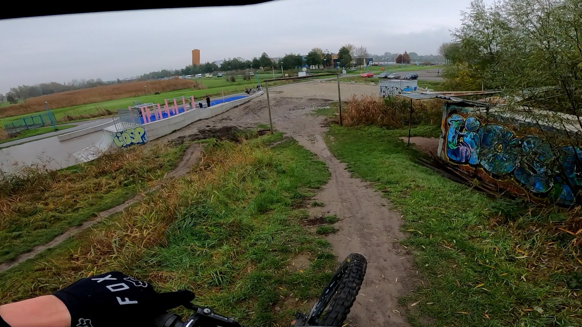
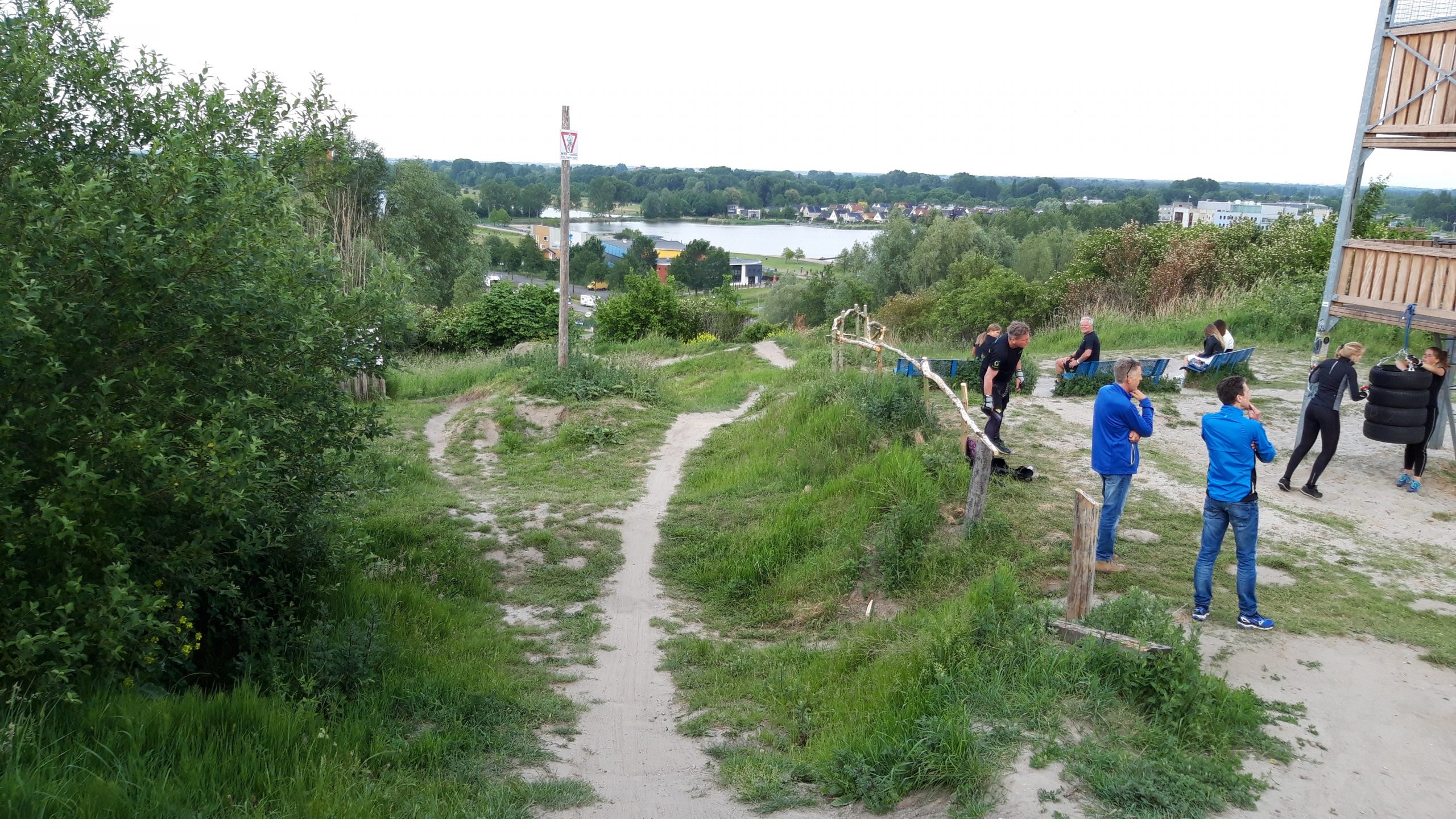
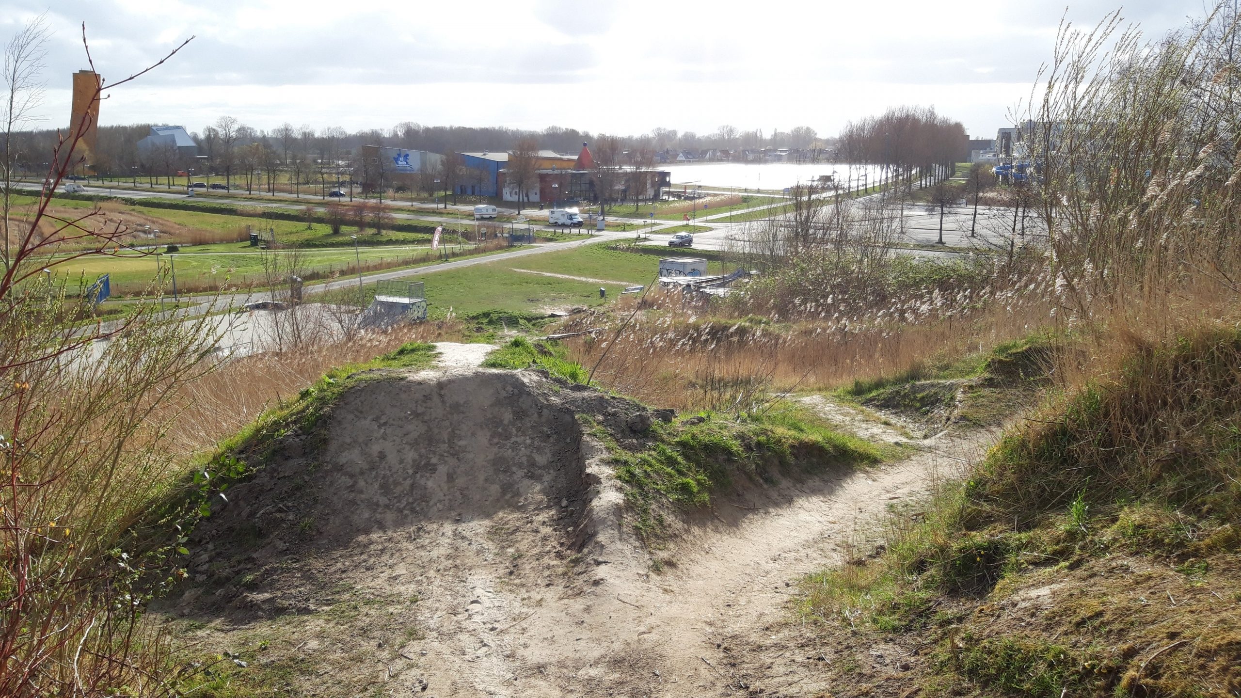
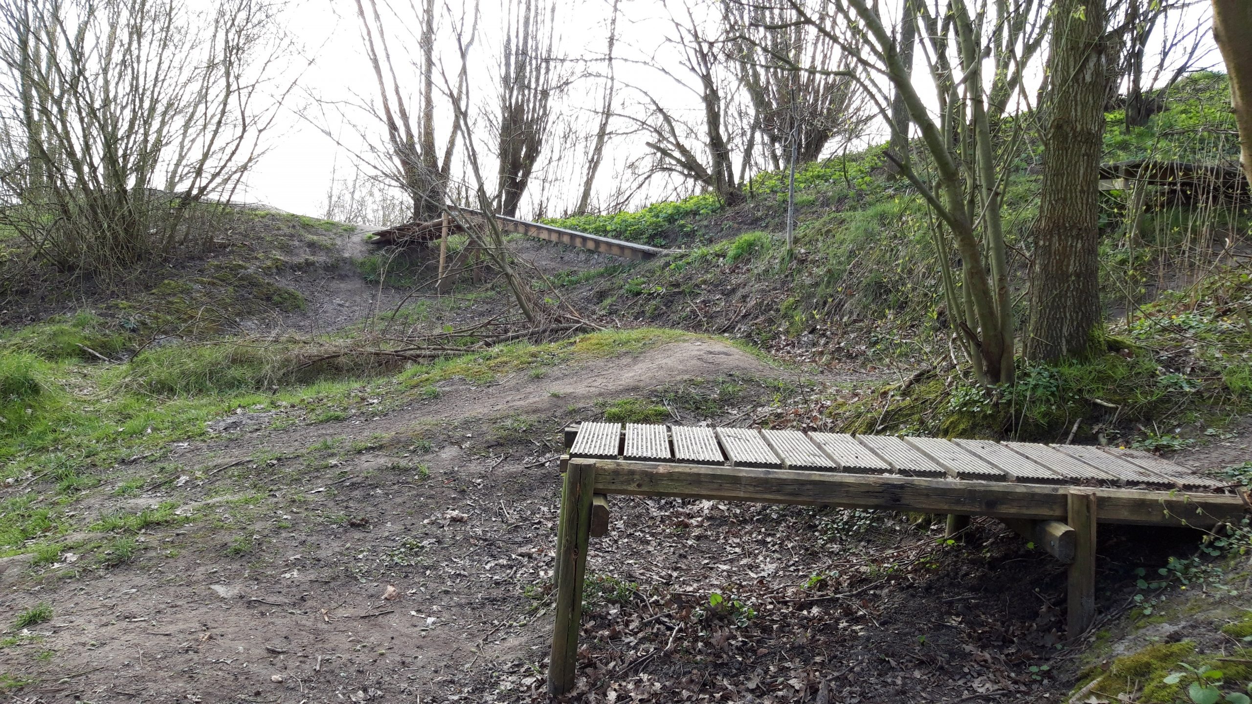
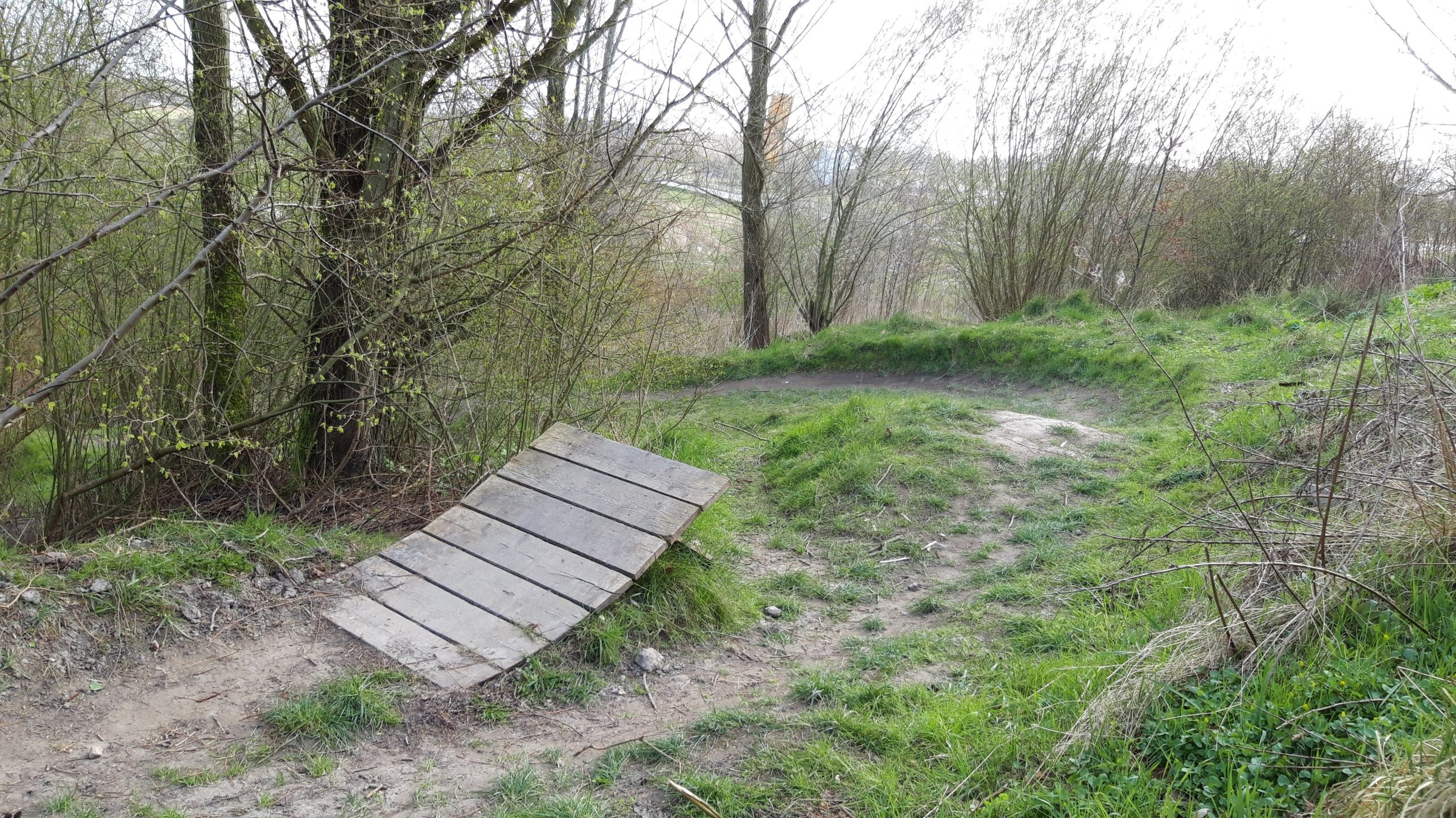
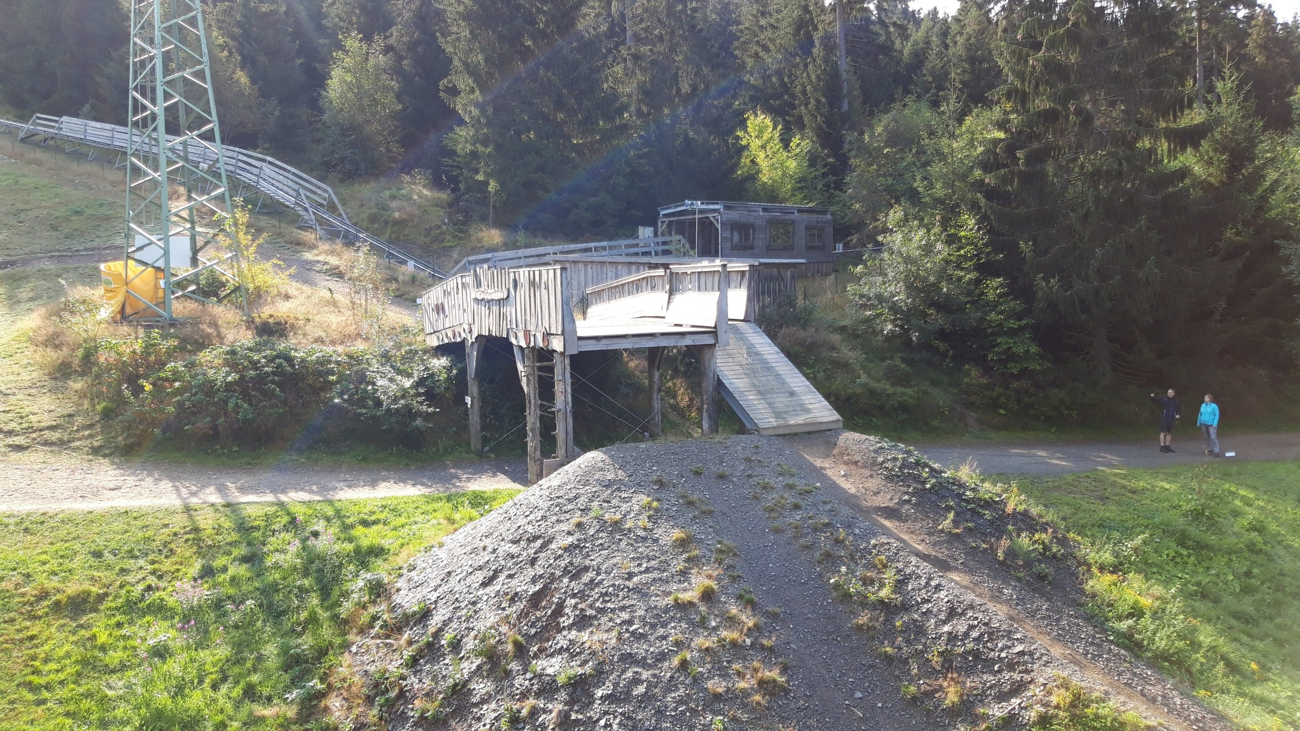
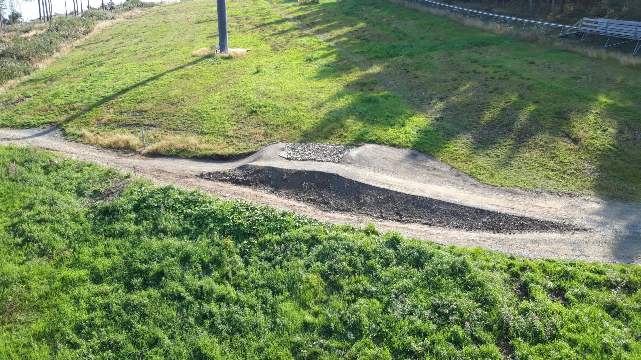
The best downhill location in the north of the Netherlands. Perfect for keeping your downhill and jump skills sharp. Not recommended in wet weather, as the mud makes the tracks incredibly slippery.
Map of the route “Bikepark Groningen”: 7,505 m, 383 m of climbing and 376 m of descent, elevation between -5 m and 32 m, time 01:21:27. It is a loop that starts and ends at 53.23978, 6.59659 (latitude, longitude).
Total distance: 7548 m Total climbing: 383 m Total time: 01:22:52
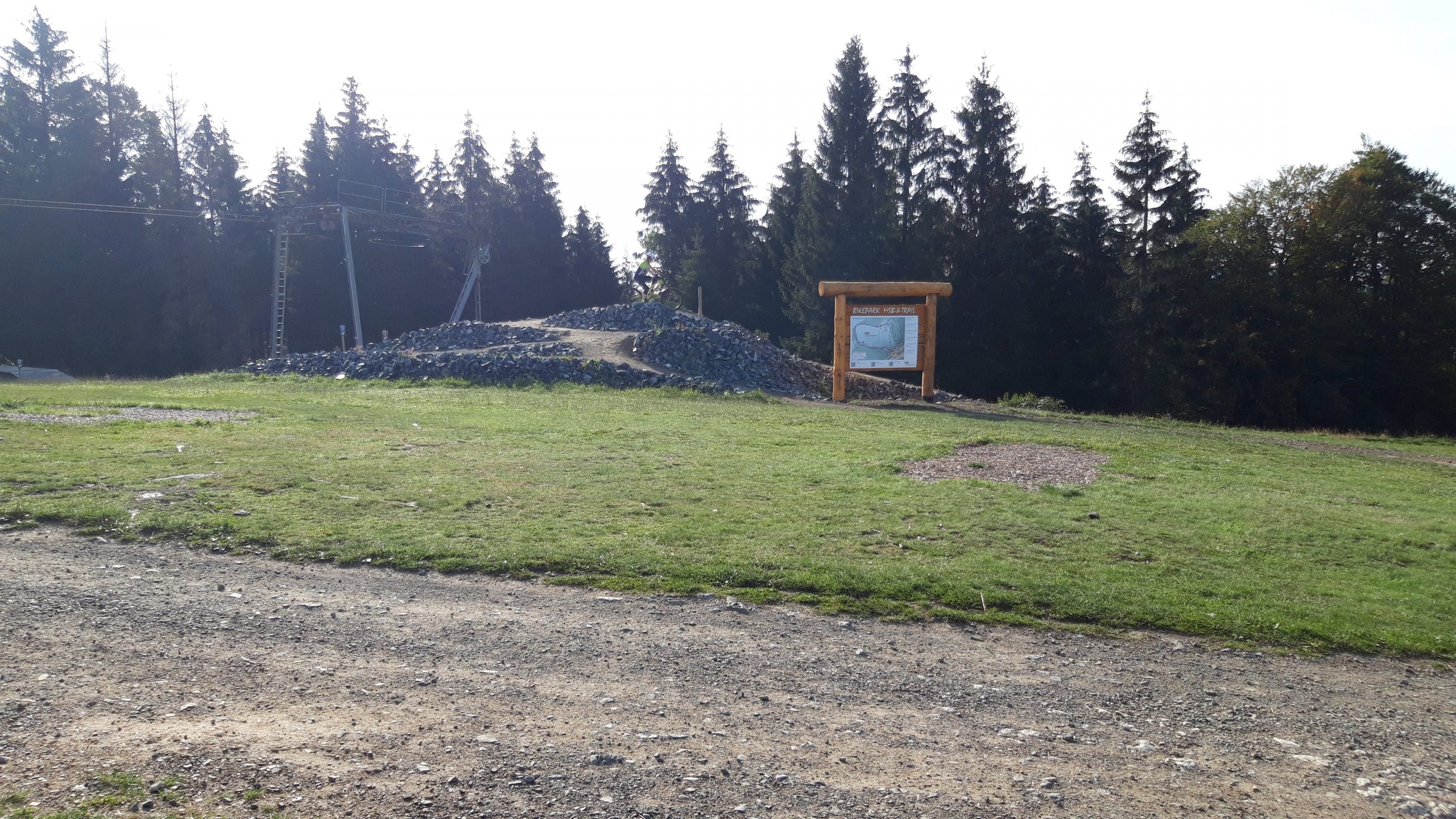
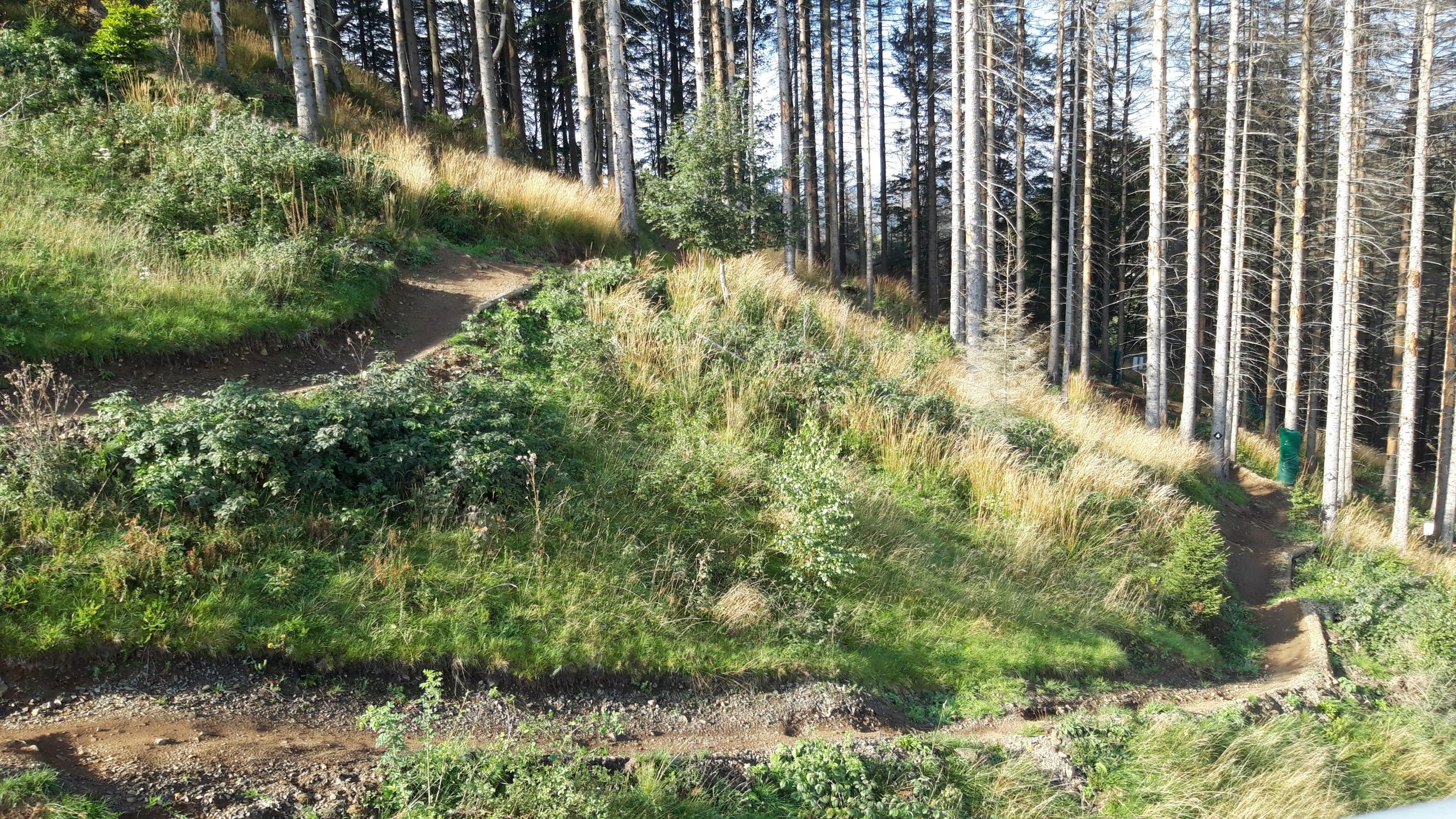
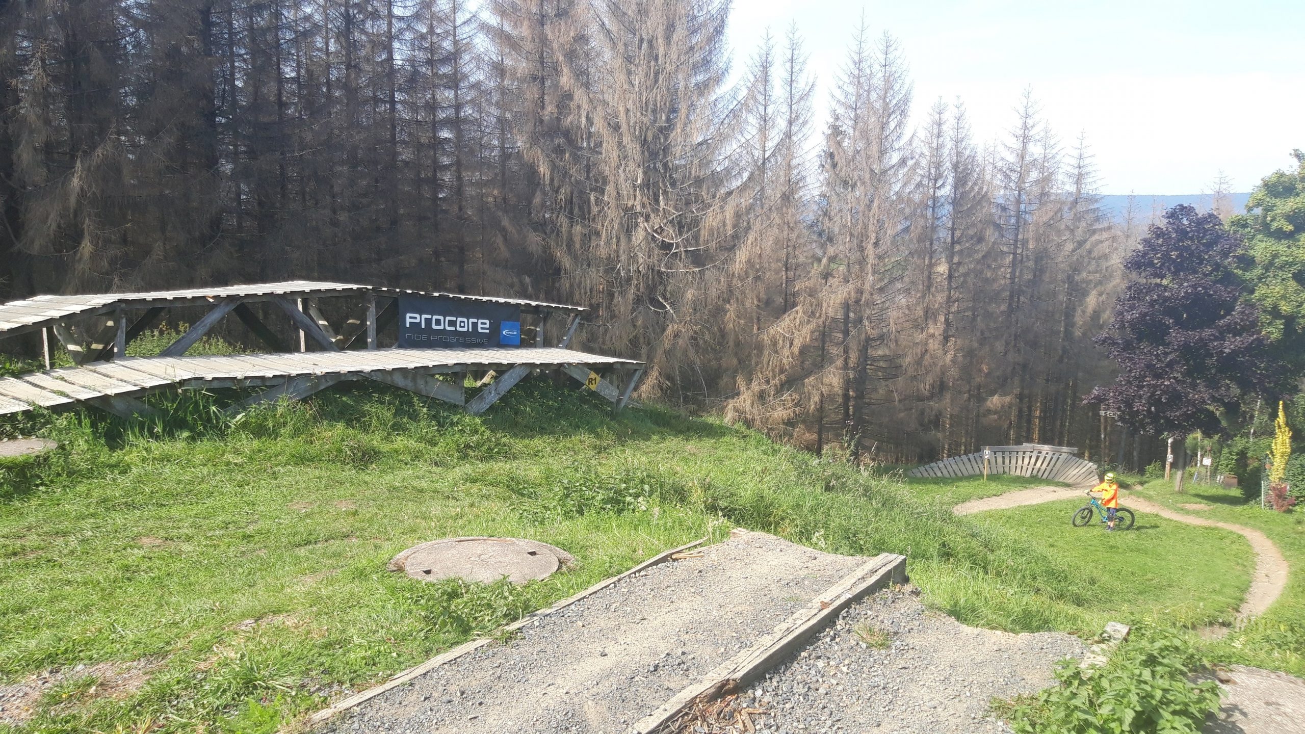
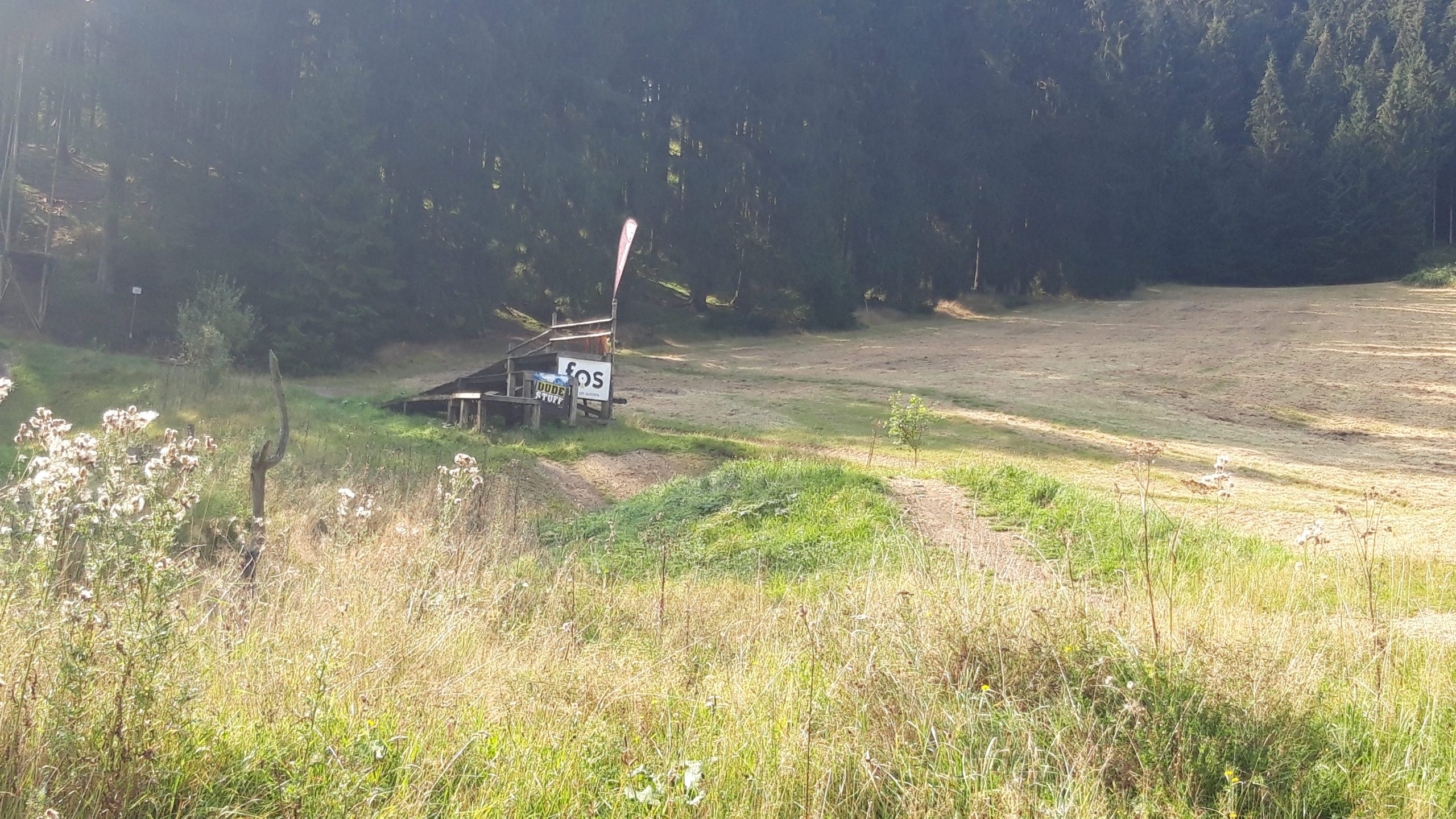
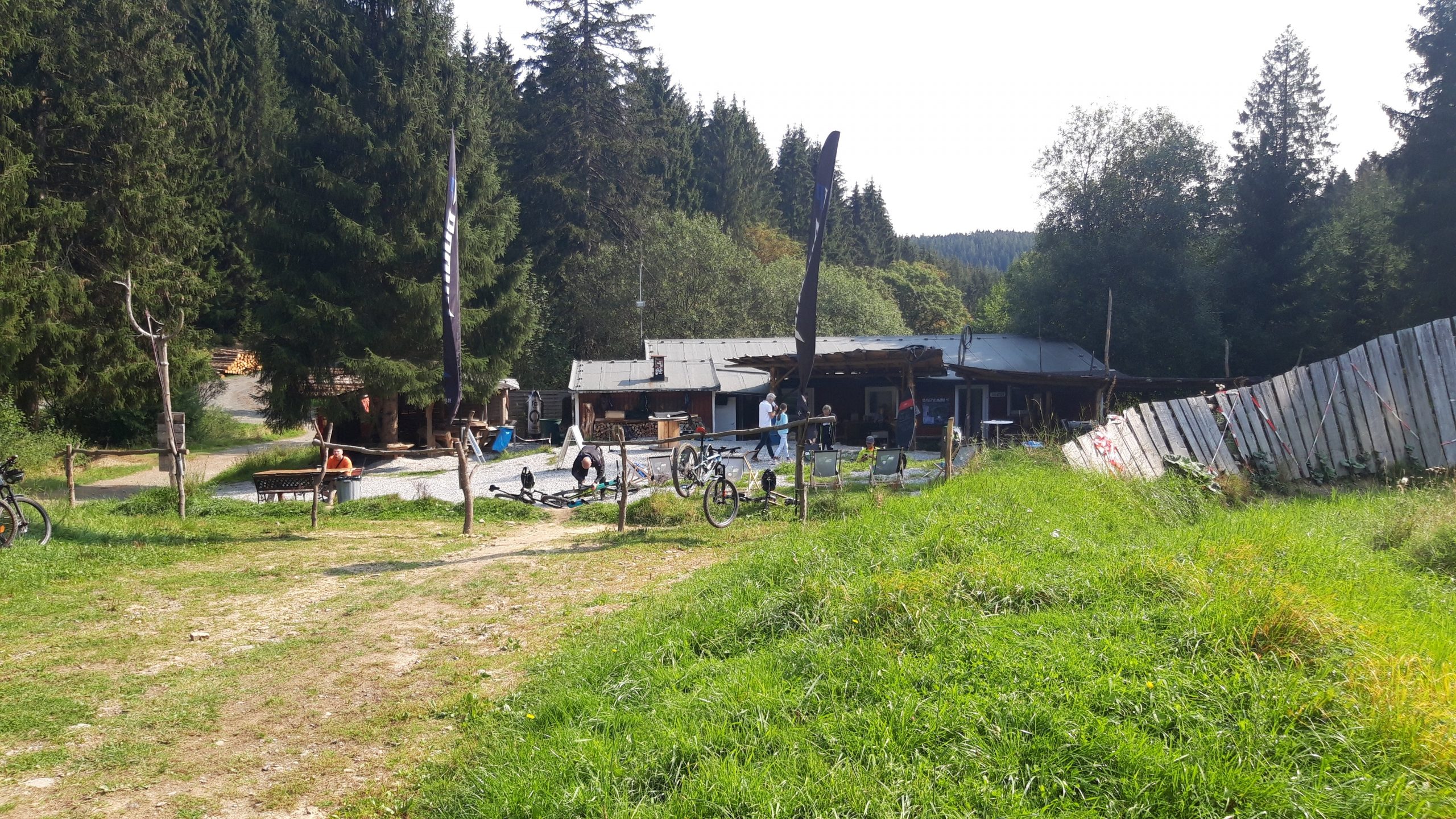
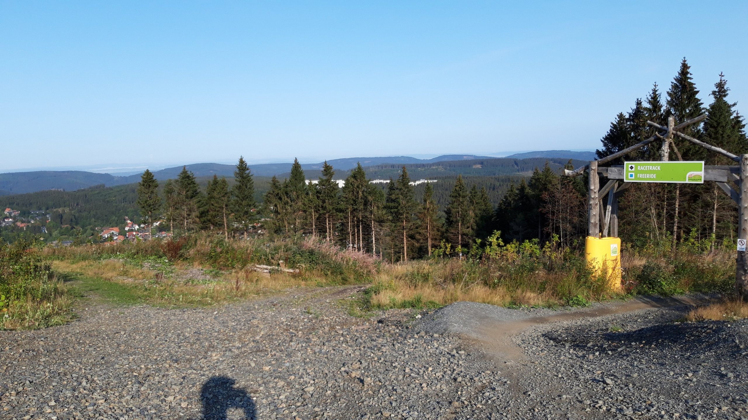
This bike park is located in the Harz Mountains (East Germany) and is primarily geared towards beginner downhillers. Most of the trails are not very difficult. The trails on the left are definitely worth a try.
Map of the route “MSB-X trails – St. Andreasberg”: 26,701 m, 1,903 m of climbing and 1,904 m of descent, elevation between 536 m and 665 m, time 04:19:27. It is a loop that starts and ends at 51.70851, 10.52320 (latitude, longitude).
Total distance: 26758 m Total climbing: 1903 m Total time: 04:19:27
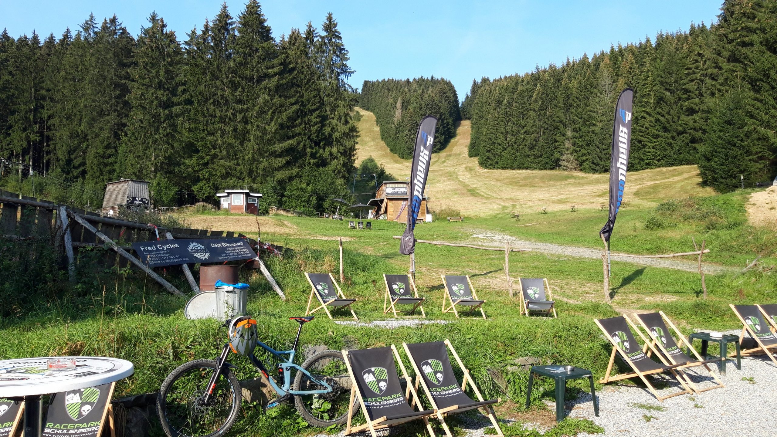
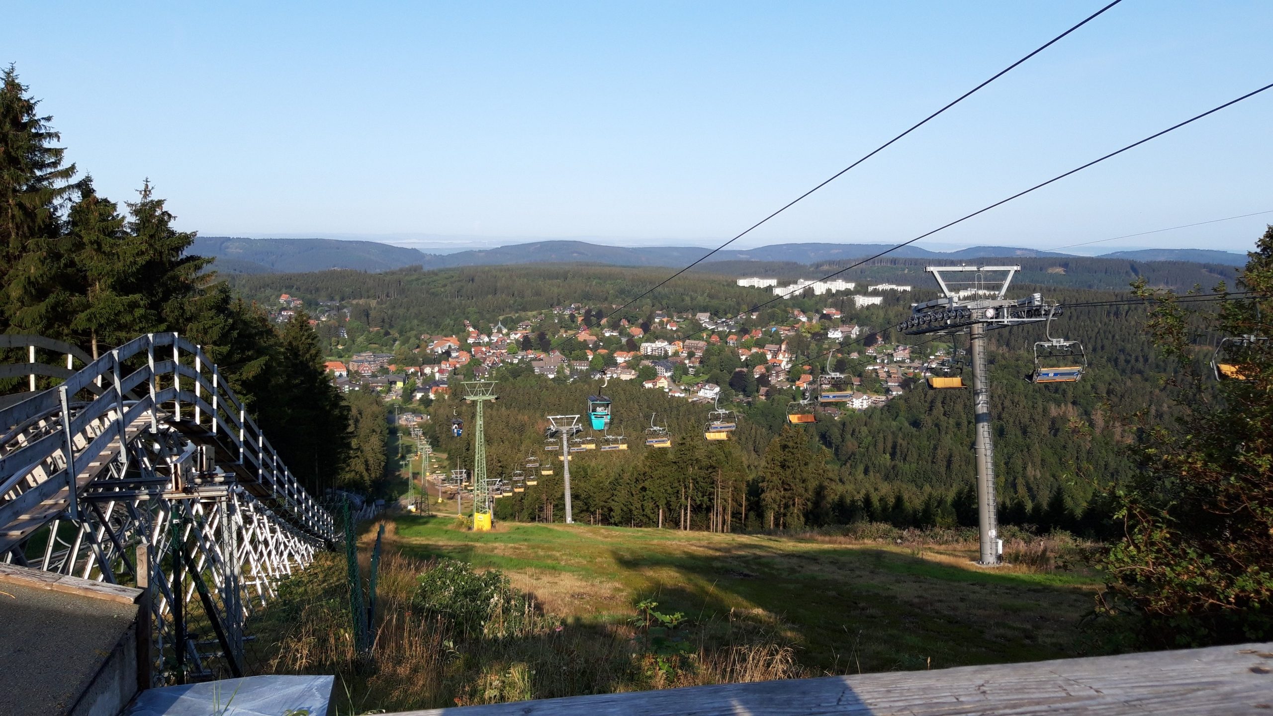
Racepark Schulenberg is a bike park located in the Harz Mountains (East Germany). It’s a fantastic bike park with excellent downhill tracks. Open only on weekends. The drag lift takes some getting used to, but it’s incredibly fast to the top.
Map of the route “Racepark Schulenberg”: 57,384 m, 4,838 m of climbing and 4,839 m of descent, elevation between 415 m and 637 m, time 07:37:26. It is a loop that starts and ends at 51.84115, 10.44365 (latitude, longitude).
Total distance: 57569 m Total climbing: 4838 m Total time: 07:37:37
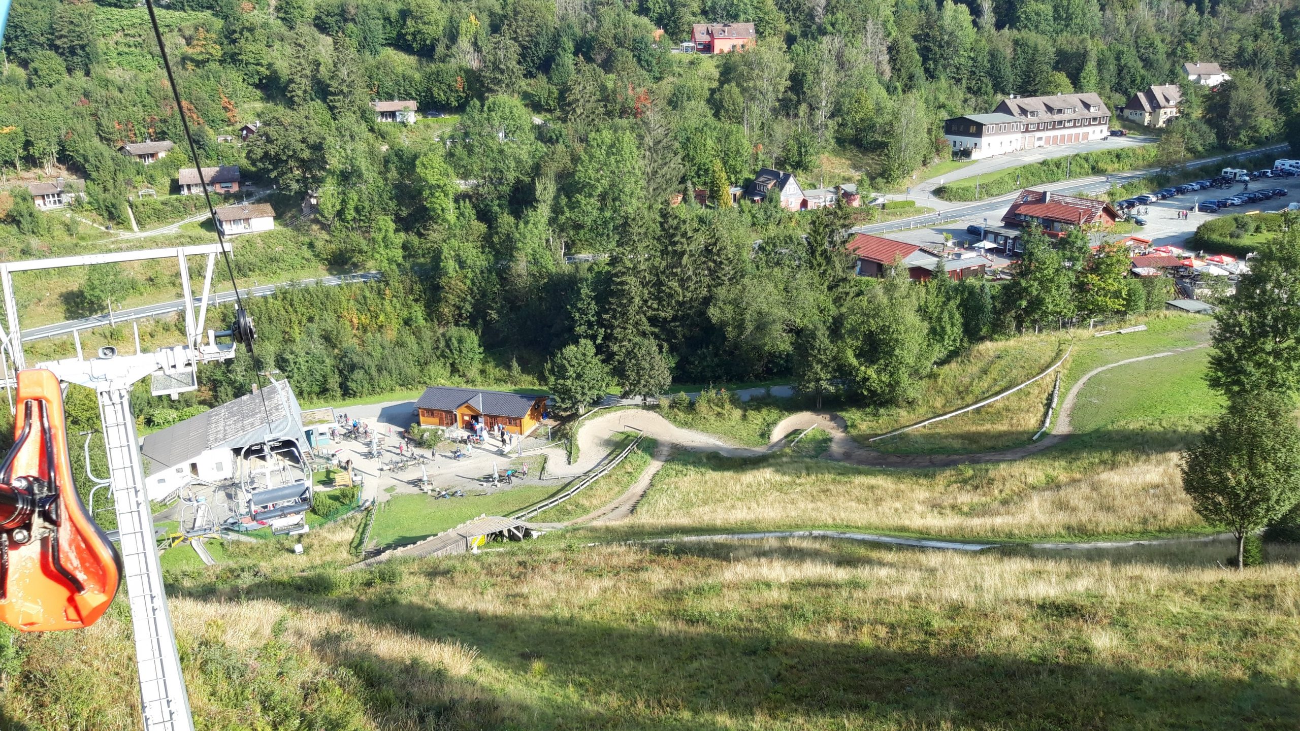
Bikepark Hahnenklee is located in the Harz Mountains (East Germany) and is a fun, varied bike park with good downhill tracks. The lift is a bit slow, but it’s a relaxed experience.
Map of the route “Bikepark Hahnenklee”: 70,030 m, 4,896 m of climbing and 4,951 m of descent, elevation between 550 m and 729 m, time 08:29:33. It starts at 51.86077, 10.34011 and ends at 51.85933, 10.34191 (latitude, longitude).
Total distance: 70264 m Total climbing: 4896 m Total time: 08:29:38
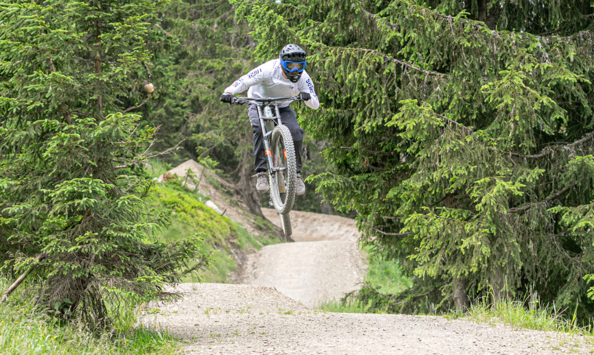
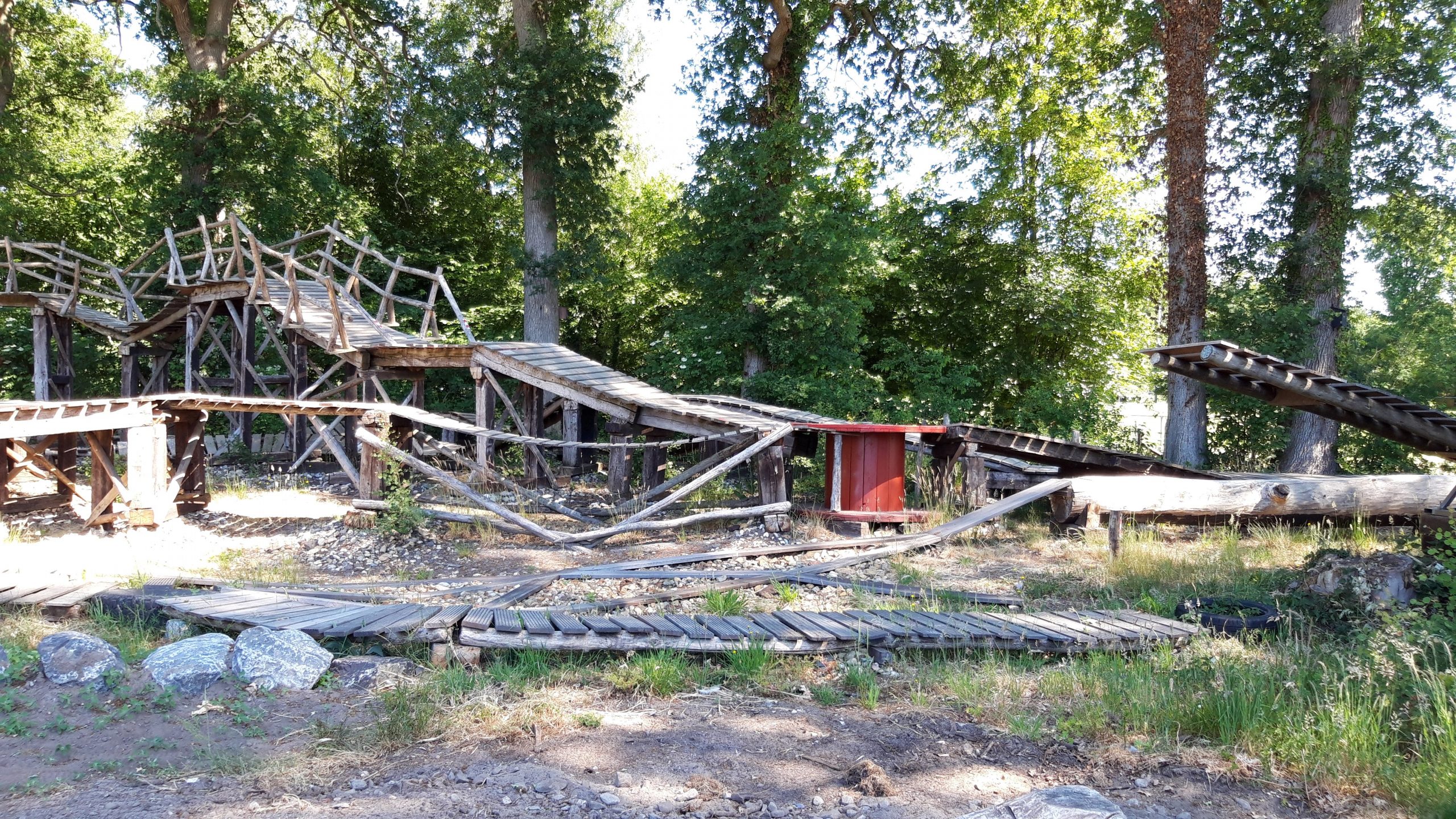
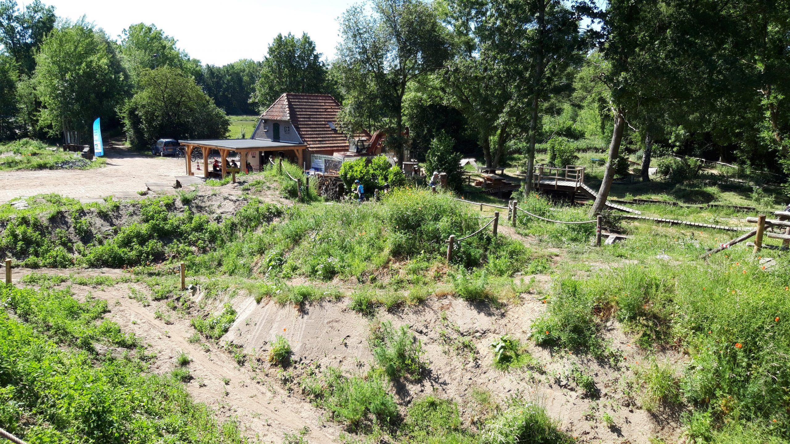
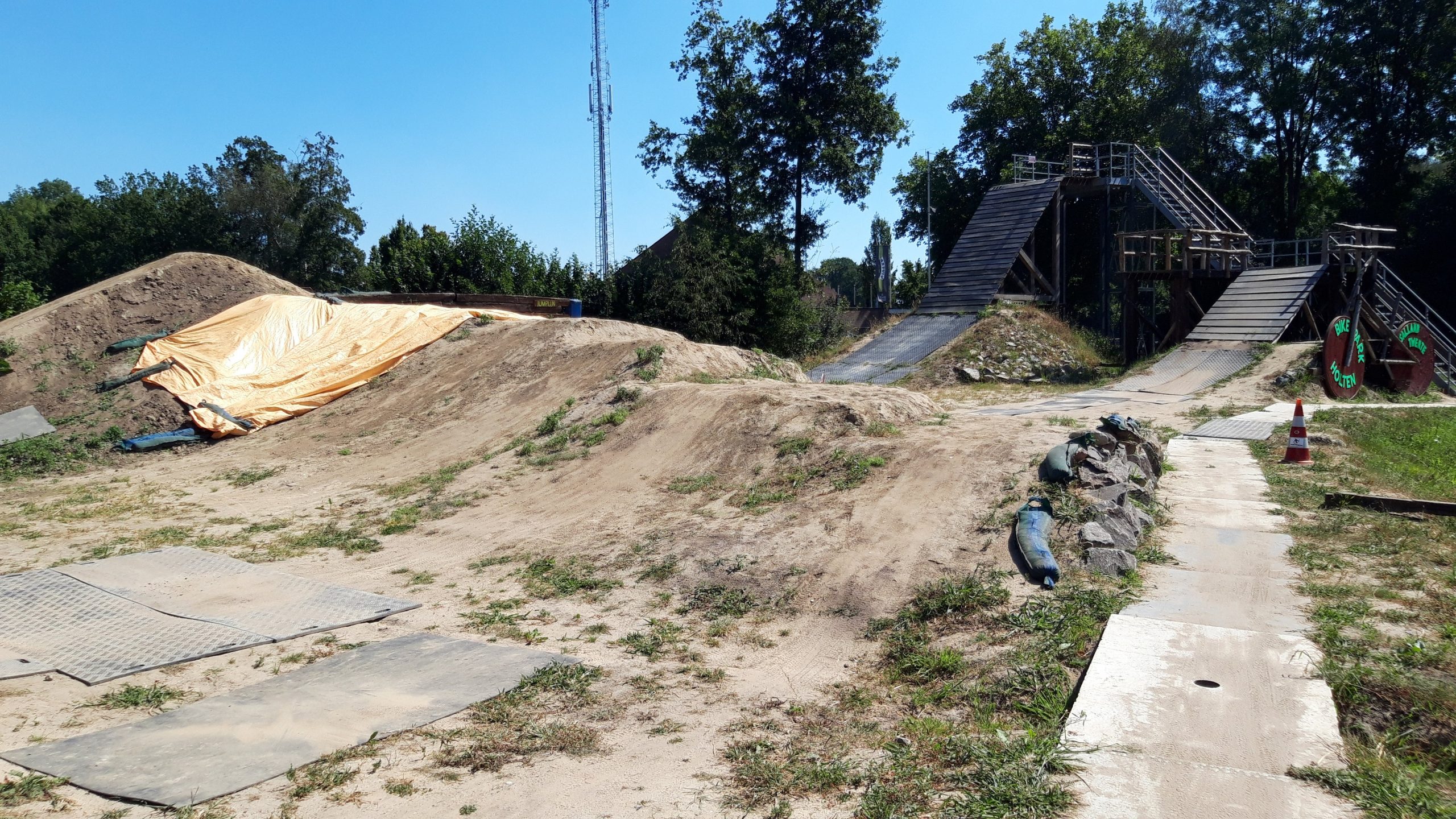
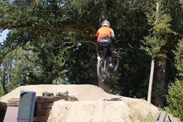
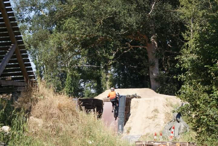
Bikepark Salland-Twente is located in Holten and opened in June 2020. It’s a skills park for all levels. It also has several jump lines where you can practice. Definitely worth a visit. It’s mainly open on weekends, and reservations are required.
Map of the route “Bikepark Holten Salland-Twente”: 5,542 m, 248 m of climbing and 254 m of descent, elevation between 6 m and 17 m, time 03:19:51. It is a loop that starts and ends at 52.27401, 6.40377 (latitude, longitude).
Total distance: 5553 m Total climbing: 248 m Total time: 03:20:01
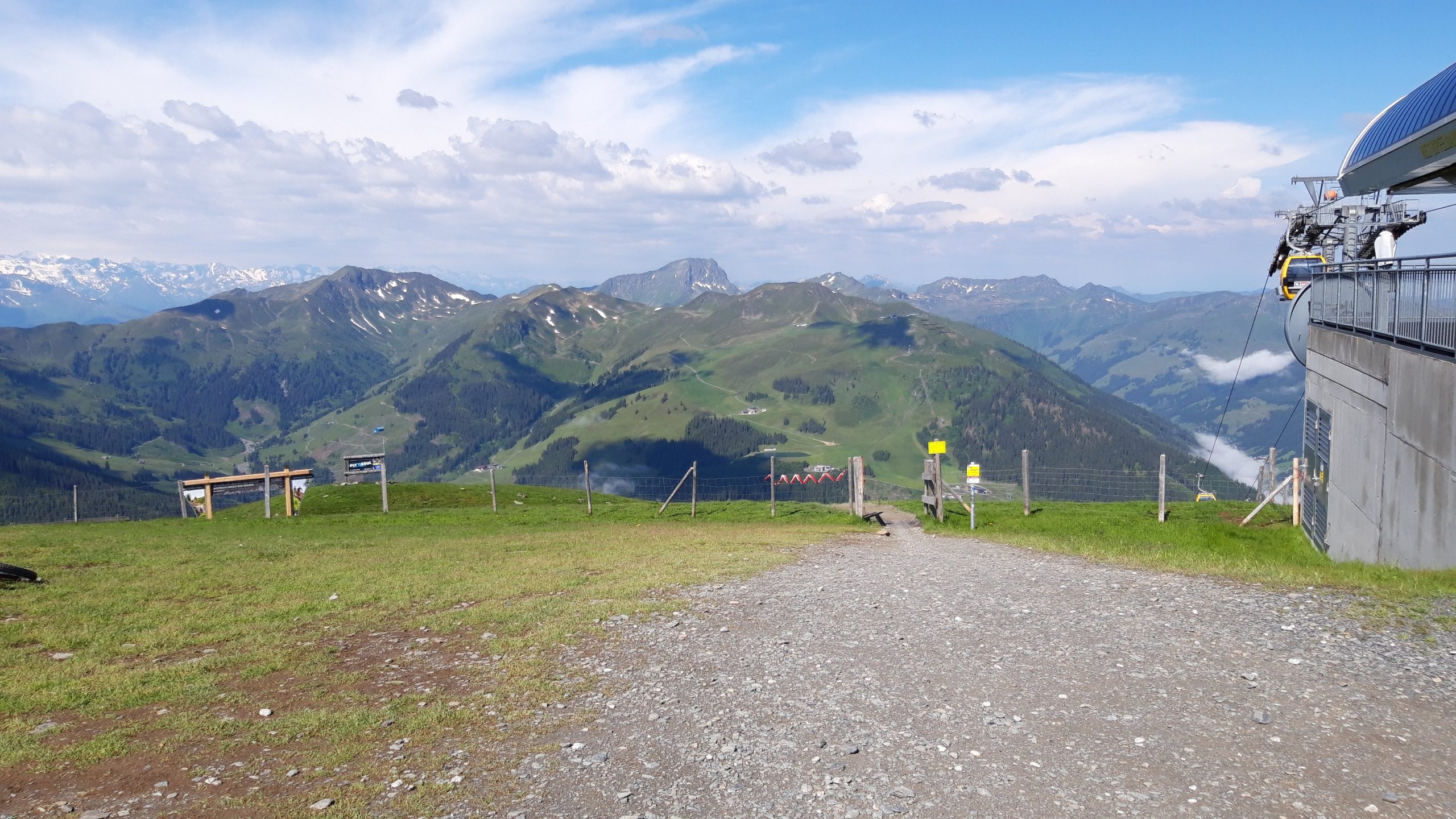
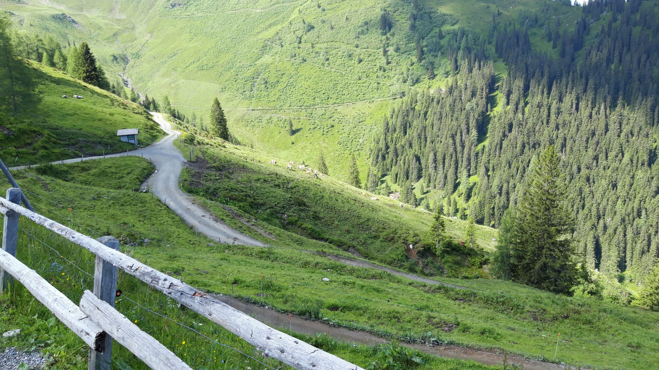
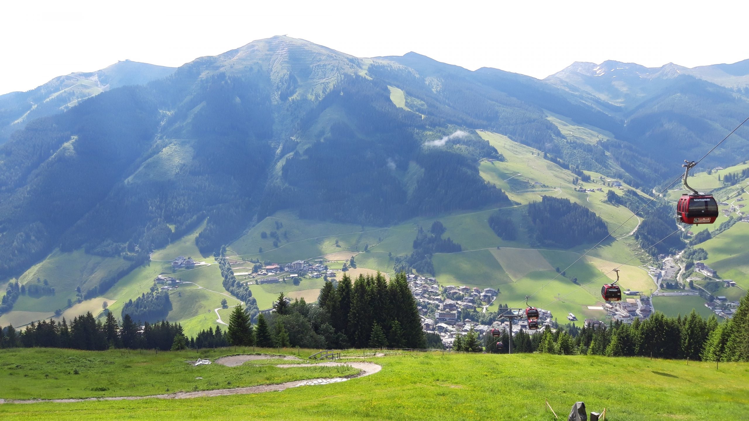
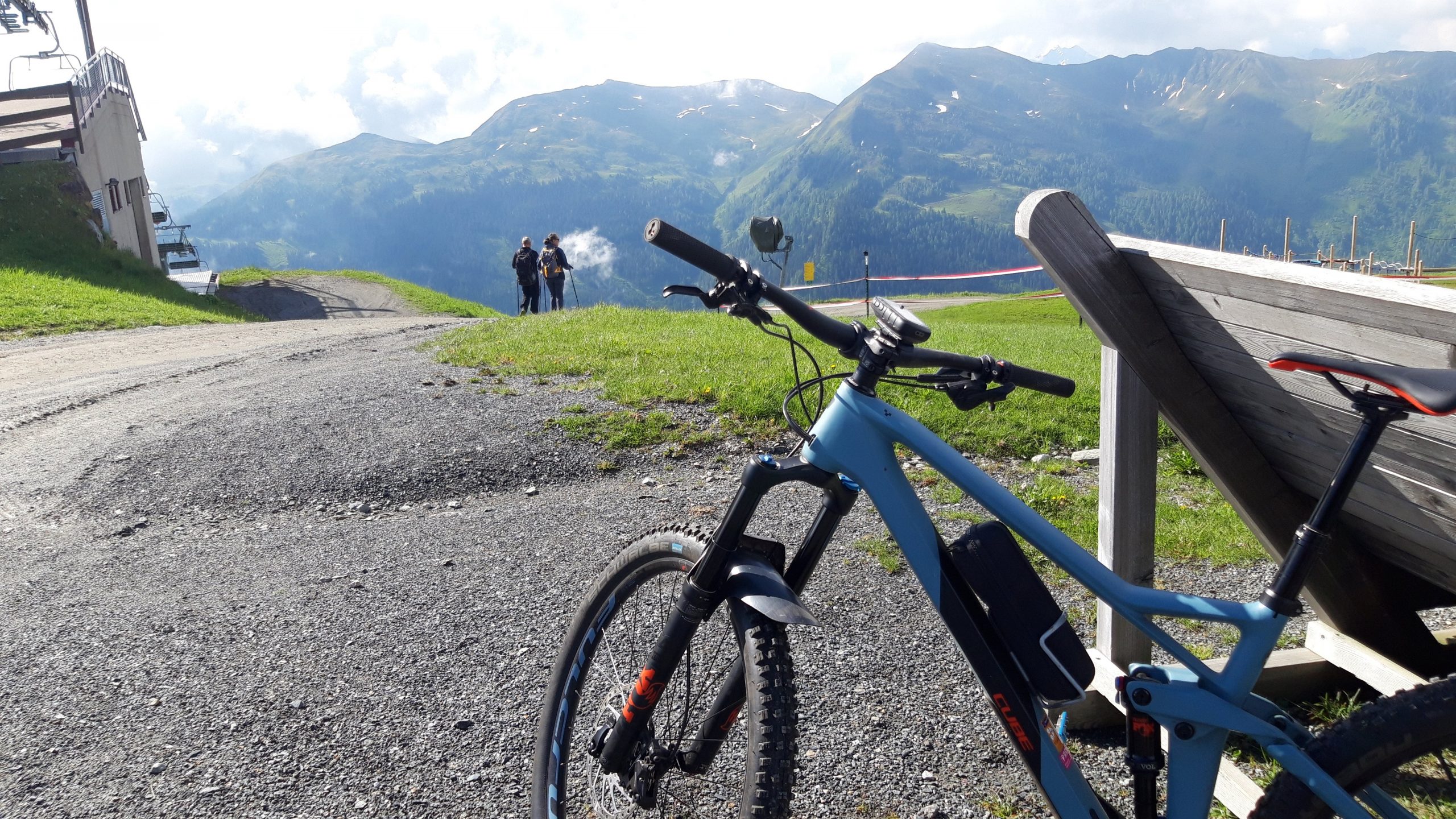
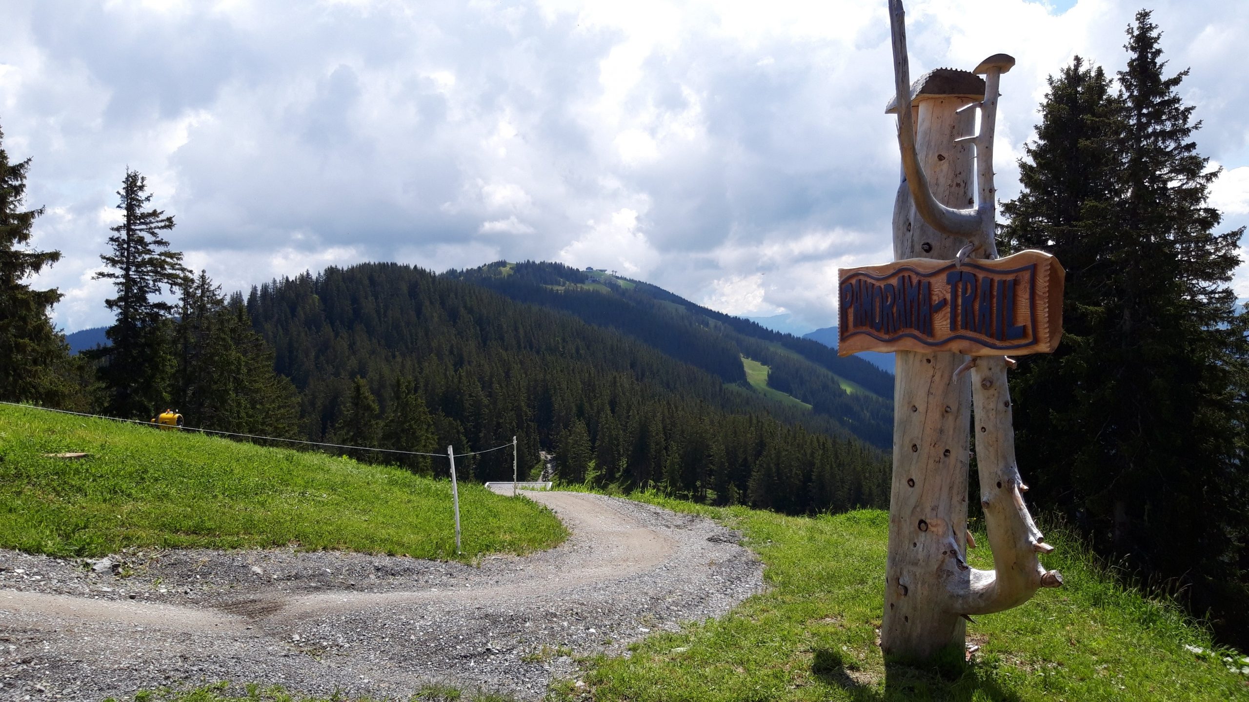
All the beautiful downhill trails of Saalbach and Hinterglemm combined in one day: the X-line, Z-line, Hacklberg trail, Buch-egg trail, Blue-line, Panorama trail, and Monti trail.
Map of the route “Saalbach – Downhill trails”: 89,620 m, 6,733 m of climbing and 6,756 m of descent, elevation between 999 m and 2,081 m, time 06:47:21. It is a loop that starts and ends at 47.39021, 12.62758 (latitude, longitude).
Total distance: 89798 m Total climbing: 6733 m Total time: 06:47:21
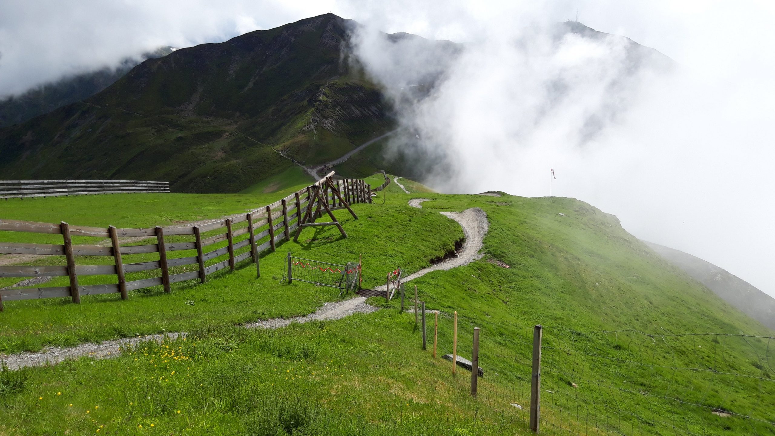
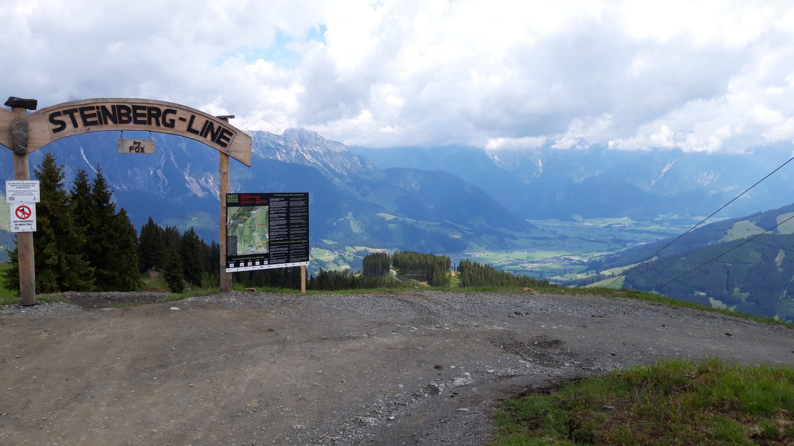
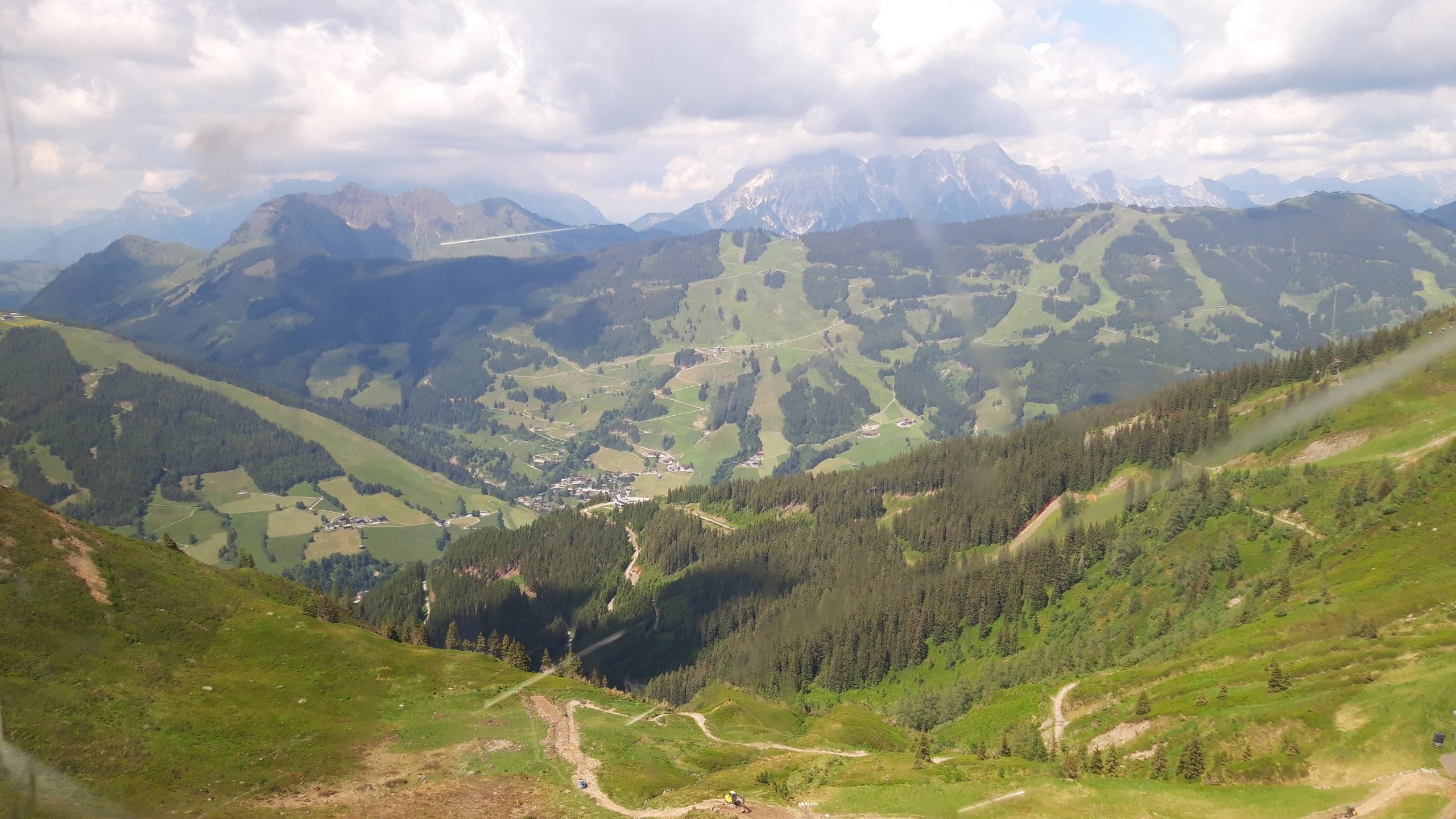
The BIG-5 combines the descents of the five major mountains of Saalbach, Hinterglemm, and Leogang. The ridge trail from Saalbach to Leogang is particularly beautiful. A fun experience that, according to the brochure, can be done in a day. Since I finished early, I added an extra loop.
Map of the route “Saalbach – BIG-5”: 86,456 m, 5,797 m of climbing and 5,733 m of descent, elevation between 836 m and 2,076 m, time 07:16:22. It starts at 47.39016, 12.62781 and ends at 47.39059, 12.63315 (latitude, longitude).
Total distance: 86653 m Total climbing: 5797 m Total time: 07:16:22