Bikepark Winterberg

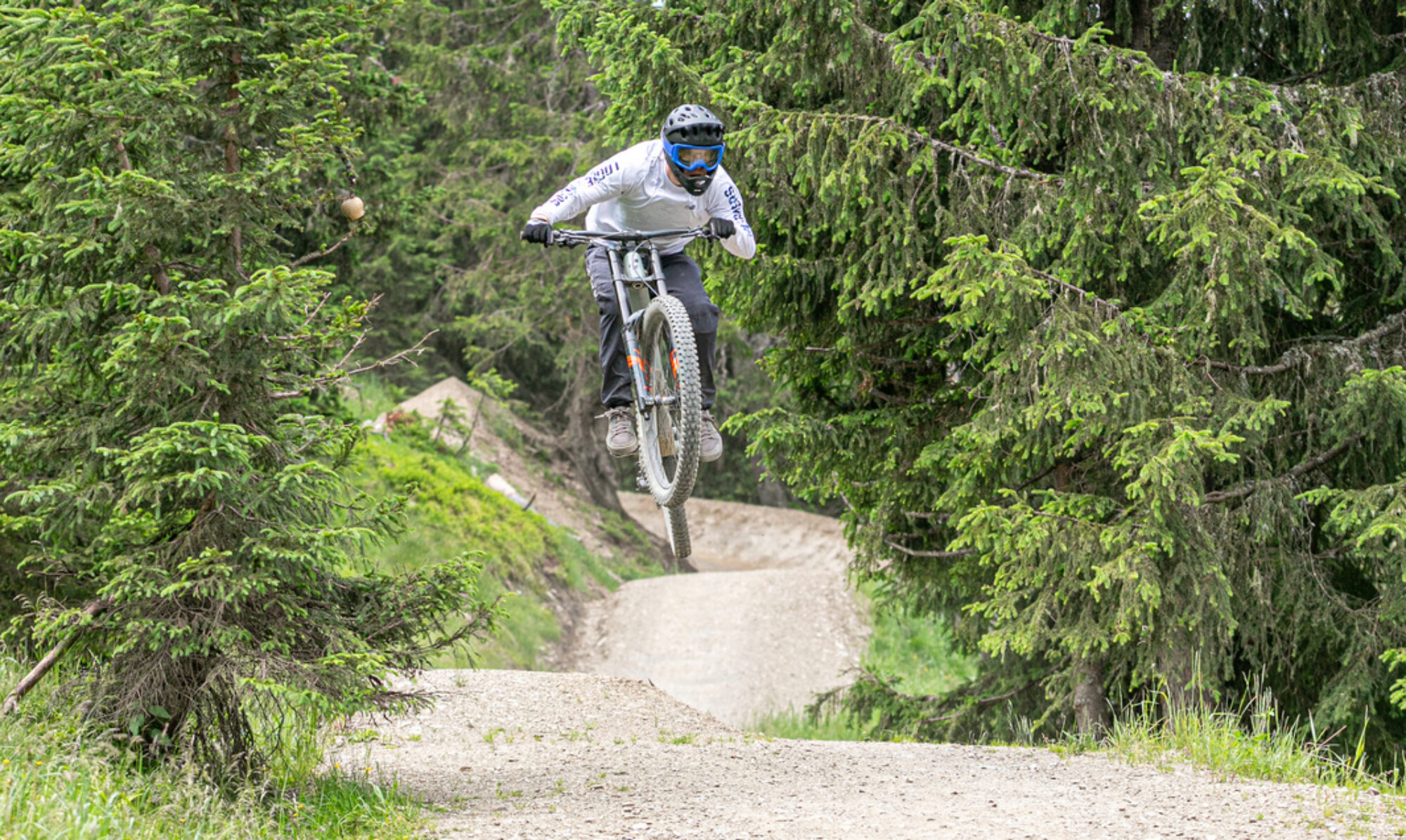
Bikepark Winterberg is undoubtedly the most popular bike park in Germany, and is also frequently visited by the Dutch. On weekends, you should definitely expect queues at the lift. The park offers a nice variety of technical trails. The difficulty level is moderate compared to French bike parks.

Map of the route “Bikepark Winterberg”: 48,722 m, 2,860 m of climbing and 2,909 m of descent, elevation between 533 m and 778 m, time 07:30:35. It starts at 51.18538, 8.50516 and ends at 51.18633, 8.49989 (latitude, longitude).

Total distance: 48732 m
Total climbing: 2860 m
Total time: 07:30:48
Download file: 2021-09-04.gpx

Bikepark Beerfelden

In southwest Germany lies Beerfelden Bike Park. It’s a smaller bike park with a drag lift that doesn’t quite reach the top. However, the park has some super fun, technically challenging trails, even for advanced downhillers.

Map of the route “Bikepark Beerfelden”: 25,136 m, 1,261 m of climbing and 1,386 m of descent, elevation between 326 m and 531 m, time 02:57:20. It is a loop that starts and ends at 49.56316, 8.98868 (latitude, longitude).

Total distance: 25182 m
Total climbing: 1261 m
Total time: 02:57:10
Download file: 2021-08-26.gpx

Bikerepublic Solden

Solden is located in Austria and has an extensive trail network. From stunningly beautiful and long flow trails to technical, long enduro trails. Good lift access and everything is well-maintained.

Map of the route “Bikerepublic Solden”: 100,024 m, 7,733 m of climbing and 7,670 m of descent, elevation between 1,313 m and 2,644 m, time 07:38:50. It is a loop that starts and ends at 46.96855, 11.01006 (latitude, longitude).

Total distance: 100396 m
Total climbing: 7733 m
Total time: 07:39:25
Download file: 2021-08-24%2016_22_27.gpx

Bikepark Verbier

In addition to bike park trails, the Swiss town of Verbier has an extensive network of enduro trails. It’s a stunningly beautiful area with fantastic technical enduro trails. Enough trails to keep you busy for several days.

Map of the route “Bikepark Verbier”: 74,514 m, 6,288 m of climbing and 6,267 m of descent, elevation between 867 m and 2,444 m, time 06:41:08. It is a loop that starts and ends at 46.09554, 7.22744 (latitude, longitude).

Total distance: 74802 m
Total climbing: 6288 m
Total time: 06:41:08
Download file: 2021-08-21%2017_08_39.gpx

Portes du Soleil

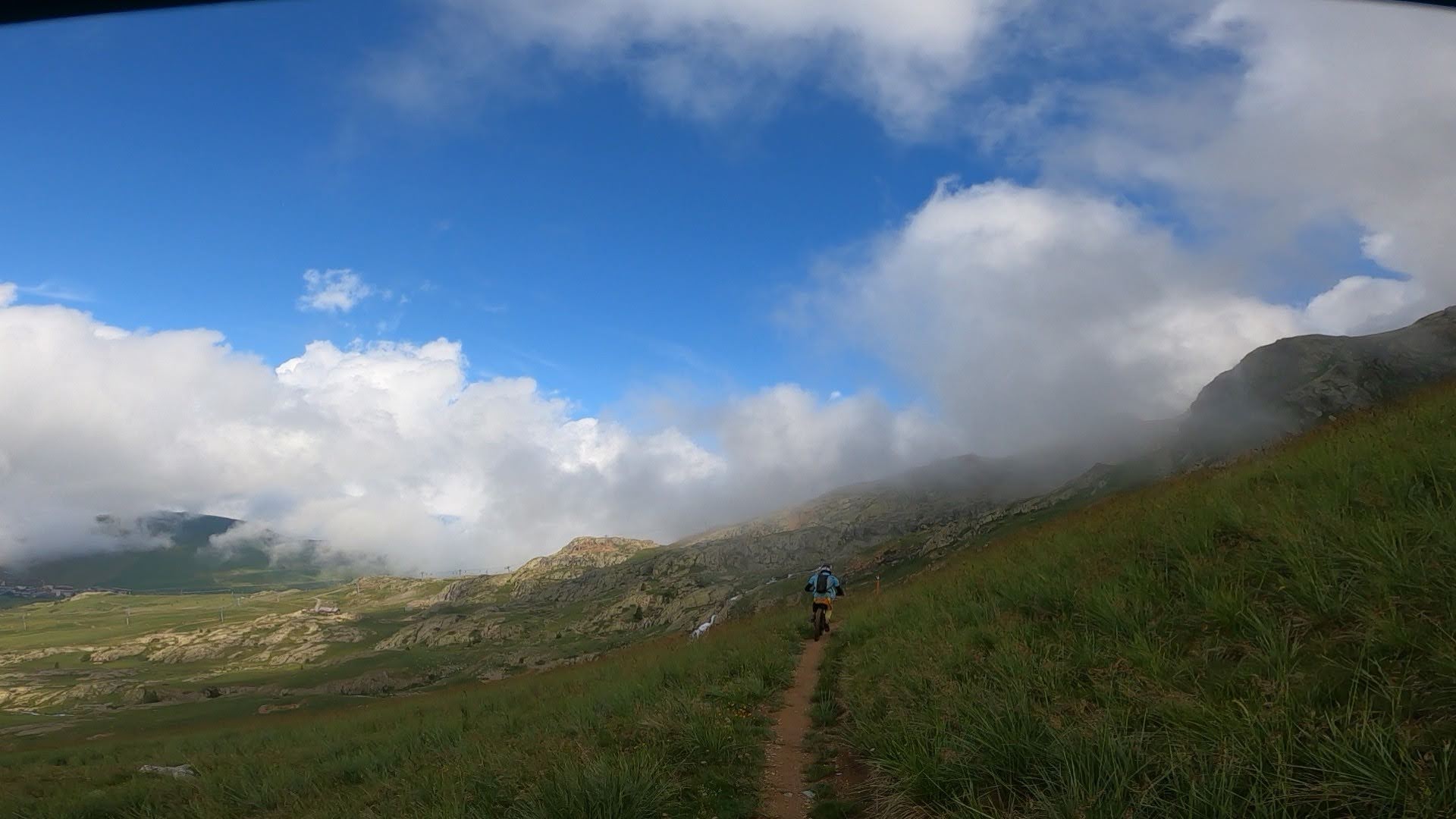
Portes du Soleil is an area in the French Alps with several bike parks accessible with a single lift pass. This area includes bike parks like Les Gets, Morzine, Avoriaz, Chatel, Champery, and Morgins. The latter two are actually located in the Swiss region. Besides the bike parks, there are fantastic enduro trails. Thanks to the extensive lift network, you can ride incredibly long trails without much climbing. Below are two examples of enduro routes along the various bike parks. You can easily spend a week here visiting all the bike parks and riding the trails between them. Highly recommended.

Map of the route “Portes du Soleil”: 91,701 m, 5,889 m of climbing and 5,974 m of descent, elevation between 909 m and 2,244 m, time 08:07:29. It starts at 46.18300, 6.69989 and ends at 46.18334, 6.70316 (latitude, longitude).

Total distance: 92108 m
Total climbing: 5889 m
Total time: 08:07:43
Download file: 2021-08-17%2016_56_12.gpx

Map of the route “Portes du Soleil”: 101,940 m, 7,924 m of climbing and 7,957 m of descent, elevation between 987 m and 2,243 m, time 08:24:33. It is a loop that starts and ends at 46.18281, 6.70031 (latitude, longitude).

Total distance: 102052 m
Total climbing: 7924 m
Total time: 08:24:33
Download file: 2021-08-19%2017_16_54.gpx

Bikepark La Bresse

In the French Vosges Mountains, not far from Lac Blanc, lies La Bresse Bike Park. It’s also a great bike park with various enduro, downhill, and jump lines. Suitable for both beginners and advanced bikers, it combines perfectly with a visit to Lac Blanc.

Map of the route “Bikepark La Bresse”: 54,472 m, 4,225 m of climbing and 4,241 m of descent, elevation between 901 m and 1,215 m, time 04:39:12. It is a loop that starts and ends at 48.03792, 6.97203 (latitude, longitude).

Total distance: 54554 m
Total climbing: 4225 m
Total time: 04:39:22
Download file: 2021-07-12.gpx

Megavalanche

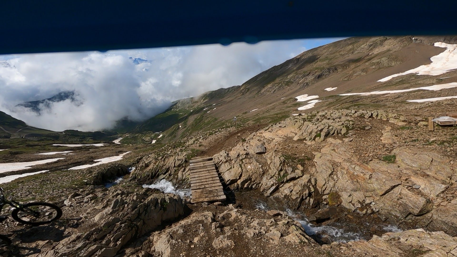
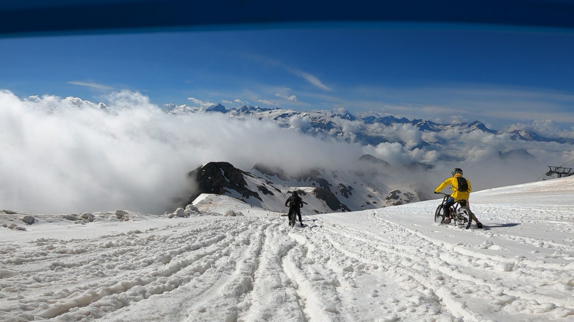
Alpe d’Huez hosts the longest and most extreme downhill race every year. A 21-kilometer descent with 2,700 meters of elevation gain, it begins on the snowy summit of Pic Blanc and ends in the valley near Allemond. Hundreds of riders compete to see who reaches the bottom first. This week-long event is definitely not suitable for novice mountain bikers or the faint-hearted. It’s an endurance test for both bike and rider. A fantastic experience that delivers a huge thrill when you complete it.

Map of the route “Megavalanche”: 21,467 m, 63 m of climbing and 2,637 m of descent, elevation between 732 m and 3,306 m, time 01:03:51. It starts at 45.12565, 6.12815 and ends at 45.12637, 6.03791 (latitude, longitude).

Total distance: 21549 m
Total climbing: 63 m
Total time: 01:03:56
Download file: 2021-07-11.gpx

Bikepark Lac Blanc

The Lac Blanc bike park is located in the French Vosges Mountains. The park offers a variety of tracks ranging from easy to difficult. Enduro lines, downhill lines, and jump lines range from blue to black. It’s a fun park where you can easily spend more than a day enjoying yourself.

Map of the route “Bikepark Lac Blanc”: 40,064 m, 3,207 m of climbing and 3,261 m of descent, elevation between 798 m and 1,146 m, time 03:52:40. It is a loop that starts and ends at 48.14616, 7.07724 (latitude, longitude).

Total distance: 40237 m
Total climbing: 3207 m
Total time: 03:52:47
Download file: 2021-07-04.gpx

Bikepark Spaarnwoude

Spaarnwoude (next to Groningen) is home to the Netherlands’ other best bike park. It has several downhill lines with challenging elements. The lines are well-built and suitable for beginners and advanced riders. Definitely worth a visit.

Map of the route “Bikepark Spaarnwoude”: 25,228 m, 753 m of climbing and 839 m of descent, elevation between -89 m and 32 m, time 04:55:14. It is a loop that starts and ends at 52.44967, 4.67774 (latitude, longitude).

Total distance: 25316 m
Total climbing: 753 m
Total time: 04:55:20
Download file: 2021-06-12.gpx

Bikepark Mook

Bikepark Mook opened in early 2021. The park essentially has two downhill lines. The elevation change is limited, and you have to pedal at the beginning of the lines. It’s primarily intended for beginners or less experienced downhillers. More experienced downhillers generally get bored quickly.

Map of the route “Bikepark Mook”: 13,587 m, 543 m of climbing and 551 m of descent, time 01:57:55. It is a loop that starts and ends at 51.75428, 5.88752 (latitude, longitude).

Total distance: 13605 m
Total climbing: 543 m
Total time: 01:58:20
Download file: 2021-03-07%2010_30.gpx