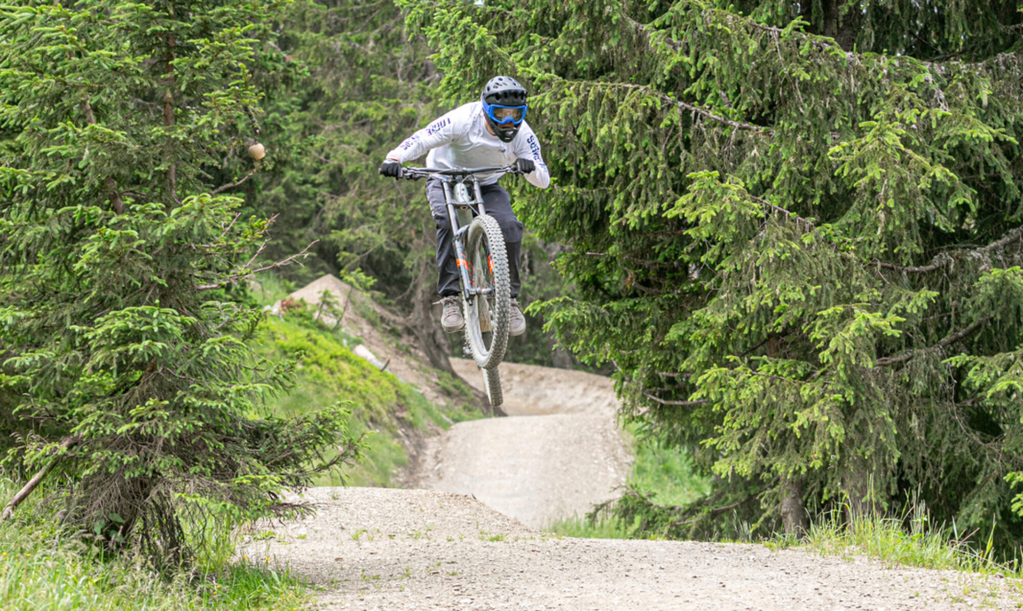
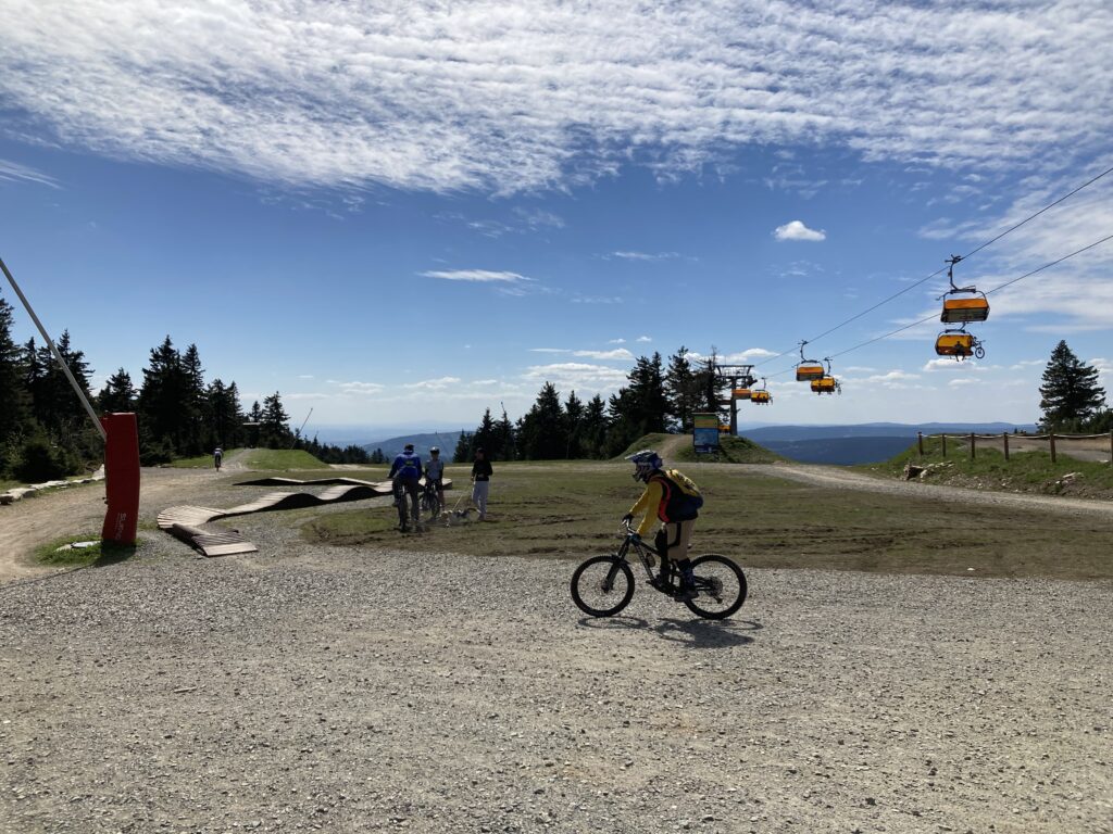
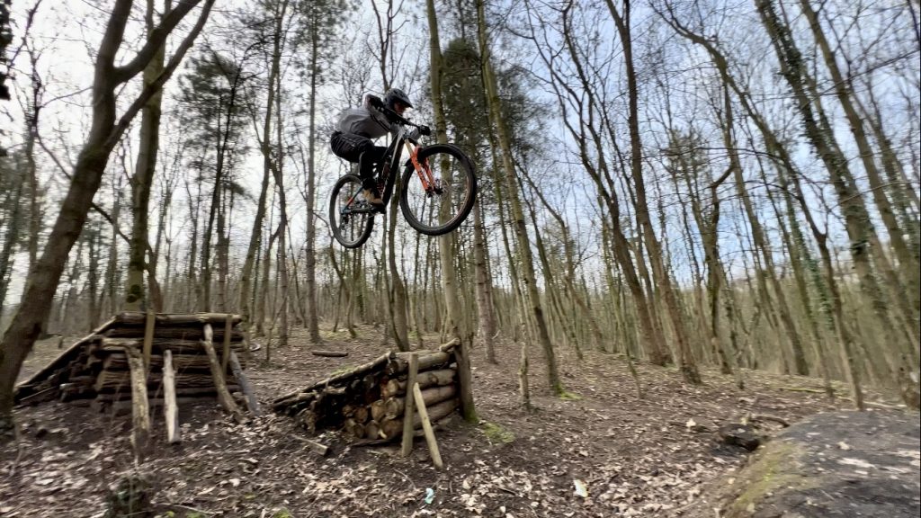
Bikepark Klinovec is located in the Czech Republic, close to the German border. Therefore, you’ll mainly see German mountain bikers there. The park has beautiful, long downhill trails. The black trails are especially worth a try. The DH and Illegal trail are so hard that it’s a challenge to ride them down in one go. A surprisingly good park.
Map of the route “Trailpark Klinovec”: 74,835 m, 5,414 m of climbing and 5,443 m of descent, elevation between 729 m and 1,235 m, time 07:17:39. It is a loop that starts and ends at 50.39411, 12.96793 (latitude, longitude).
Total distance: 74904 m Total climbing: 5414 m Total time: 07:17:43
Innsbruck has a bike park near Mutters. This park has a surprising number of fun trails. A beautiful black jump line branches off the blue trail. The black downhill trail “The Straight One” is also very enjoyable. Don’t forget to take in the red and black trails to Gotzens. These are also definitely worth it. All in all, a great park where you can easily spend a day enjoying yourself.
Map of the route “Bikepark Innsbruck”: 60,580 m, 5,596 m of climbing and 5,601 m of descent, elevation between 885 m and 1,796 m, time 06:27:12. It is a loop that starts and ends at 47.22226, 11.36604 (latitude, longitude).
Total distance: 60843 m Total climbing: 5596 m Total time: 06:27:50
The Serfaus-Fiss-Ladis Bike Park is located in Fiss, Austria. The park offers a great variety of well-maintained trails. At the lower end, there are some fun slopestyle sections. The red “Strada del Sole” and black “Downhillstrecke” are definitely the most beautiful trails and worth a day of riding.
Map of the route “Bikepark Serfaus-Fiss-Ladis”: 83,670 m, 7,017 m of climbing and 7,131 m of descent, elevation between 1,084 m and 1,644 m, time 07:34:52. It is a loop that starts and ends at 47.05402, 10.60868 (latitude, longitude).
Total distance: 83689 m Total climbing: 7017 m Total time: 07:36:35
The most iconic and beautiful spot for enduro riding is undoubtedly Finale Ligure. This region, in northern Italy, is home to a world of stunning trails. After a week of riding, you’ll have only scratched the surface of all the possibilities. It’s recommended to hire a shuttle service to take you uphill each time. This way, you can see and ride much more of the area. Once you’ve tried it once, you’ll definitely be back. It’s addictively beautiful and has fantastic technical trails that won’t bore you.
Map of the route “Finale Ligure”: 127,606 m, 3,280 m of climbing and 3,975 m of descent, elevation between -99 m and 1,020 m, time 08:19:16. It starts at 44.24707, 8.25478 and ends at 44.23140, 8.31958 (latitude, longitude).
Total distance: 128013 m Total climbing: 3280 m Total time: 08:19:31
West of Duisburg lies Halde Norddeutschland. This hill has some fun downhill tracks. The jumps and drops are generally well-constructed. It can get quite windy at the top of the hill. The trails on the sides are well-sheltered. Walking along the steep pedestrian paths is the fastest way to get back up. A great spot for a day of downhill riding.
Map of the route “Halde Norddeutschland”: 20,759 m, 935 m of climbing and 888 m of descent, elevation between -25 m and 115 m, time 04:47:06. It is a loop that starts and ends at 51.47417, 6.57495 (latitude, longitude).
Total distance: 20795 m Total climbing: 935 m Total time: 04:48:34
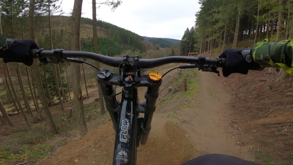
Since the end of June of this year, there’s a new bike park in Germany: Green Hill Bike Park in Schmallenberg. They’ve built something truly beautiful here! The trails are fantastic and clearly laid out by knowledgeable people. The jump lines are particularly good. The variety of trails is excellent and suitable for beginners and advanced riders alike. This has instantly become my new favorite bike park. Highly recommended.
Map of the route “Green Hill Bikepark”: 48,180 m, 3,539 m of climbing and 3,605 m of descent, elevation between 433 m and 678 m, time 06:35:41. It is a loop that starts and ends at 51.23554, 8.35755 (latitude, longitude).
Total distance: 48436 m Total climbing: 3539 m Total time: 06:35:51
Near the German town of Olpe lies Bikepark OE. It’s a small bike park with a lift and various tracks for beginners and advanced riders. The berms, jumps, gaps, drops, and road gaps are all well-built and fun to ride. There are more than enough options to keep you entertained for a day. The elevation gain isn’t very great (80 m), but the lift is good and fast, allowing for plenty of runs.
Map of the route “Bikepark OE”: 46,899 m, 2,873 m of climbing and 2,956 m of descent, elevation between 417 m and 591 m, time 06:00:23. It is a loop that starts and ends at 51.05575, 7.94968 (latitude, longitude).
Total distance: 46911 m Total climbing: 2873 m Total time: 06:01:54
This is one of my favorite bike parks in Germany. Great trails, especially the enduro and downhill tracks. Good lifts and excellent facilities. In short, everything for a great day of downhill riding.
Map of the route “Bikepark Willingen”: 81,587 m, 4,933 m of climbing and 5,011 m of descent, elevation between 497 m and 845 m, time 06:59:51. It is a loop that starts and ends at 51.28949, 8.59264 (latitude, longitude).
Total distance: 81817 m Total climbing: 4933 m Total time: 07:00:20
The German bike park Warstein may not be huge, but it certainly offers plenty of challenging trails. The elevation gain is limited, so the runs aren’t very long. However, they’ve made good use of all the possibilities. There’s even a slopestyle line with some seriously big jumps. The drag lift isn’t great, but it’s adequate.
Map of the route “Bikepark Warstein”: 38,076 m, 1,333 m of climbing and 1,365 m of descent, elevation between 420 m and 540 m, time 05:31:43. It is a loop that starts and ends at 51.43958, 8.43246 (latitude, longitude).
Total distance: 38153 m Total climbing: 1333 m Total time: 05:32:27
In Chaudfountain, you can now legally enjoy some beautiful enduro descents. The trails have nice fast sections and steep technical descents. The ascent is easy, so you’ll be back at the top quickly. The trails are mainly rocky and a good test for your suspension and tires.
Map of the route “Trail center Chaudfountain”: 30,512 m, 1,030 m of climbing and 1,049 m of descent, elevation between 45 m and 208 m, time 04:51:16. It is a loop that starts and ends at 50.58658, 5.64224 (latitude, longitude).
Total distance: 30587 m Total climbing: 1030 m Total time: 04:51:59