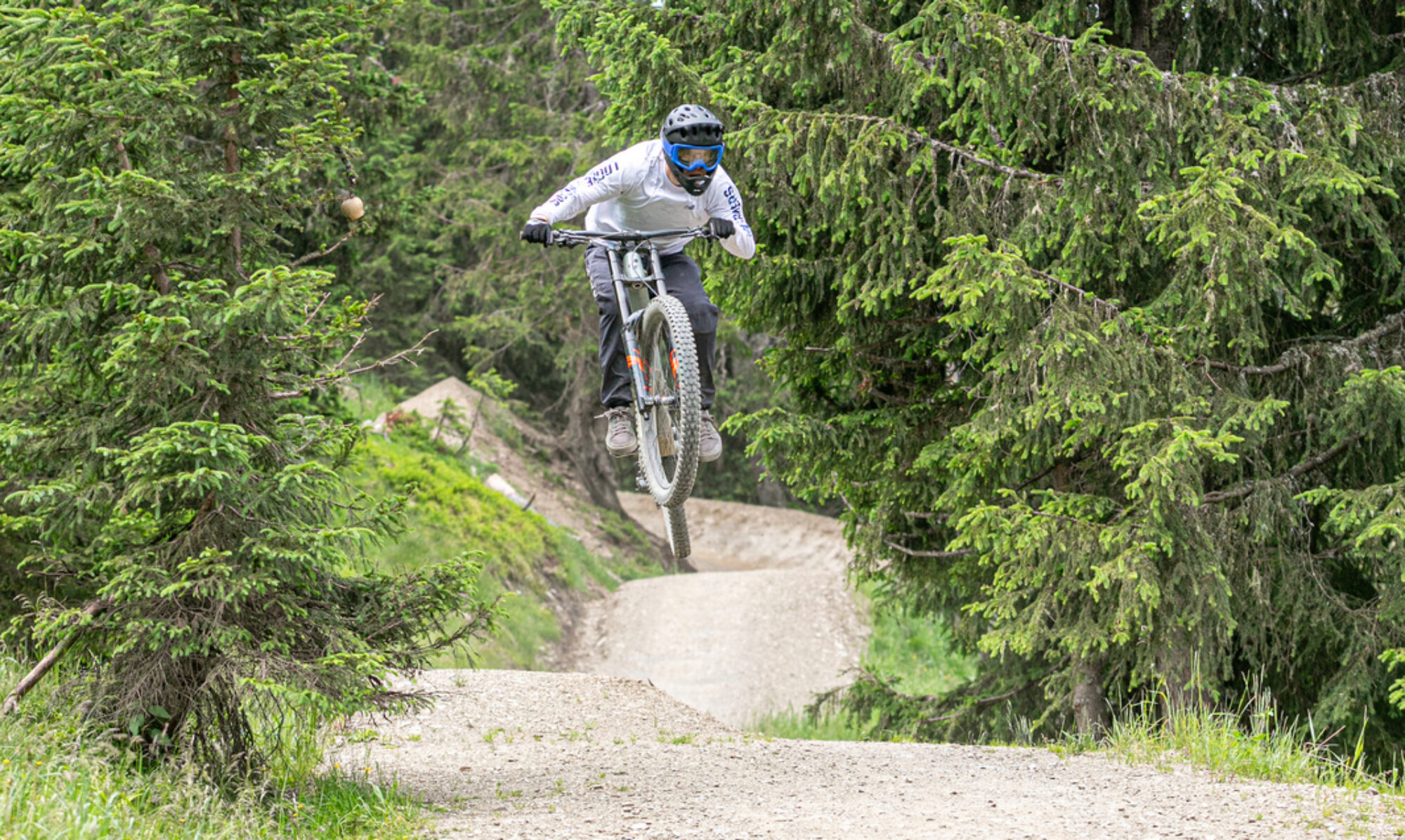
Bikepark Brandnertal is located on the western edge of Austria, near the Swiss border. The chairlifts aren’t particularly fast, but they do their job. The red and black trails are definitely worth a visit. A great park for a day of downhill riding.
© OpenStreetMap contributors
Map of the route “Bikepark Brandnertal”: 49,361 m, 4,160 m of climbing and 4,143 m of descent, elevation between 1,147 m and 1,762 m, time 06:33:58. It is a loop that starts and ends at 47.14591, 9.76075 (latitude, longitude).
Total distance: 49532 m
Total climbing: 4160 m
Total time: 06:34:35
Download file: 2024-08-23.gpxTotal climbing: 4160 m
Total time: 06:34:35