Bikepark Mook

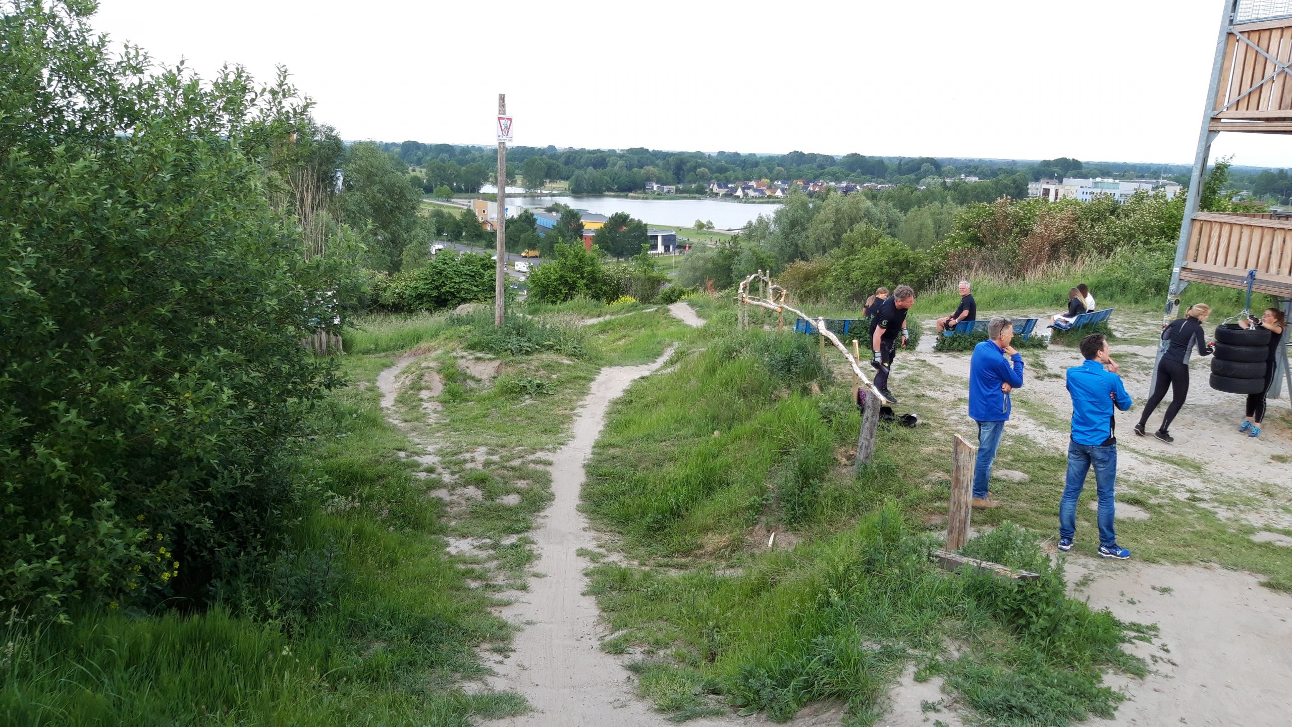
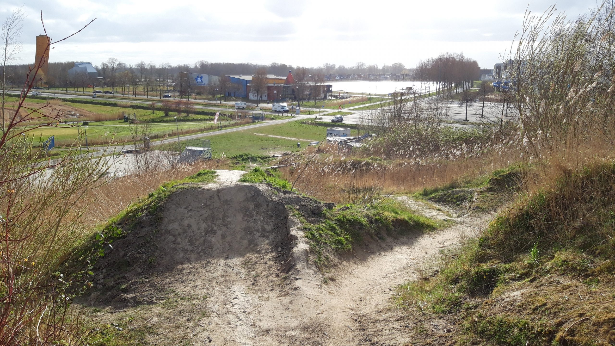
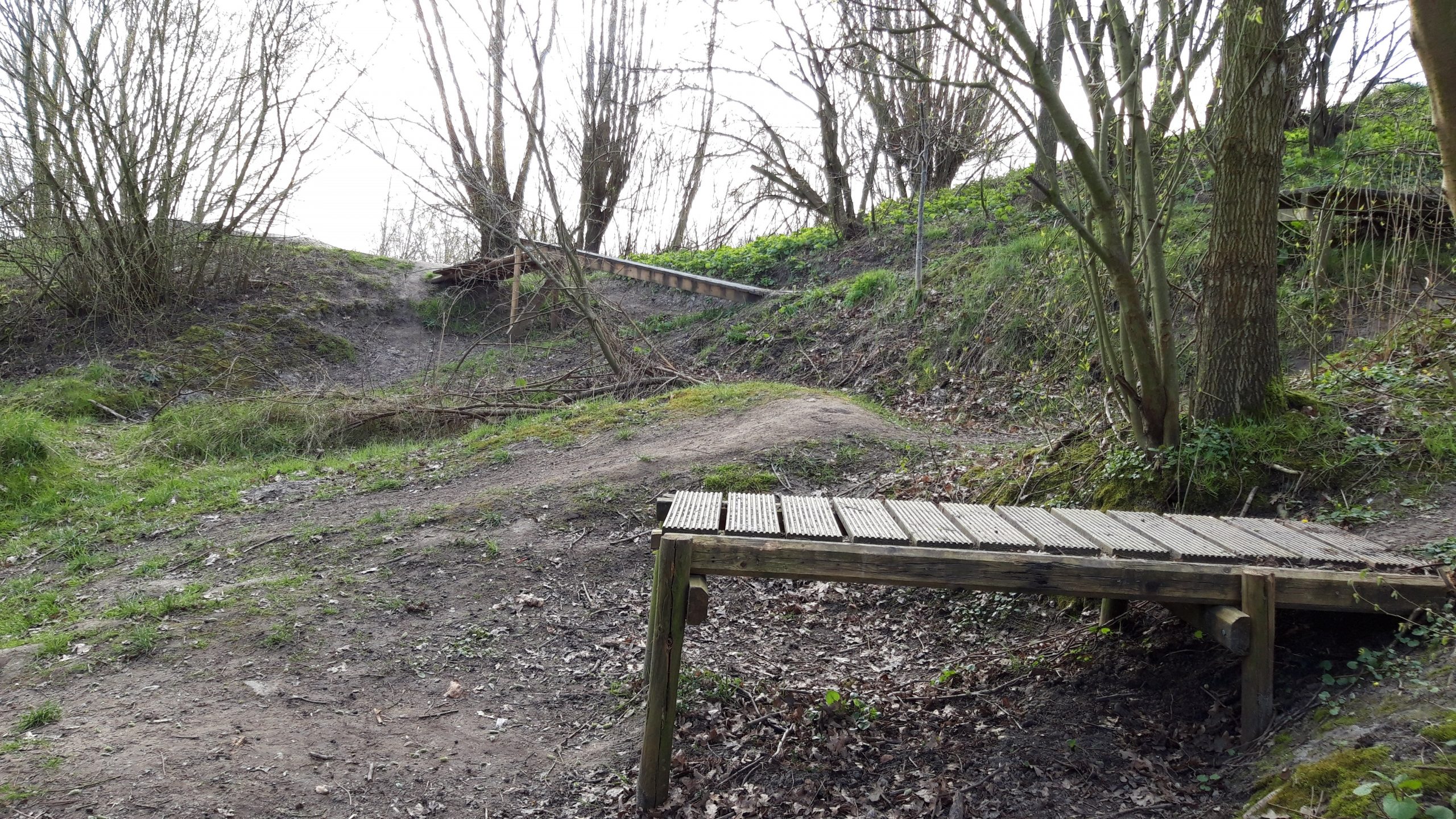
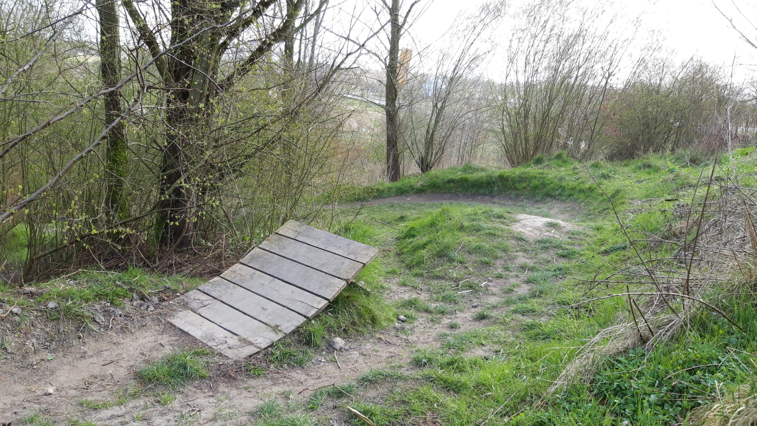
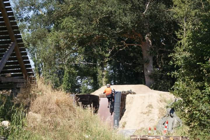
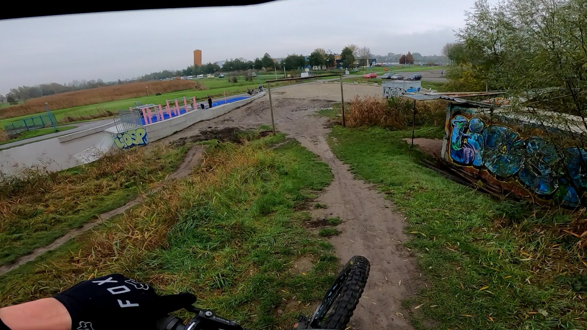
Begin 2021 is bikepark Mook geopend. Het park heeft in principe twee downhill lijnen. Het hoogte verschil is beperkt en in het begin van de lijnen moet je bij trappen. Het is vooral bedoeld voor de beginnende of minder ervaren downhillers. De meer ervaren downhillers zijn over het algemeen snel uitgekeken.

Map of the route “Bikepark Mook”: 13.587 m, 543 m of climbing and 551 m of descent, time 01:57:55. It is a loop that starts and ends at 51.75428, 5.88752 (latitude, longitude).

Total distance: 13605 m
Total climbing: 543 m
Total time: 01:58:20
Download file: 2021-03-07%2010_30.gpx

Bikepark Groningen

De beste downhill locatie van het noorden. Uitermate geschikt om je downhill en jump skills op niveau te houden. Met nat weer niet aan te raden, aangezien de modder de tracks spekglad maakt.

Map of the route “Bikepark Groningen”: 7.505 m, 383 m of climbing and 376 m of descent, elevation between -5 m and 32 m, time 01:21:27. It is a loop that starts and ends at 53.23978, 6.59659 (latitude, longitude).

Total distance: 7548 m
Total climbing: 383 m
Total time: 01:22:52
Download file: 2020-11-14%2012_01_16.gpx

Appelscha – Bosberg

De rode ATB route van Appelscha (Bosberg) is één van mijn favoriete routes hier in de buurt. Kort maar intensief en technisch rondje, die je meerdere keren kunt doen zonder te vervelen.

Map of the route “Appelscha – Bosberg”: 16.051 m, 479 m of climbing and 476 m of descent, elevation between 8 m and 28 m, time 01:13:47. It is a loop that starts and ends at 52.95332, 6.34090 (latitude, longitude).

Total distance: 16097 m
Total climbing: 479 m
Total time: 01:14:04
Download file: 2020-11-01%2010_48_48.gpx

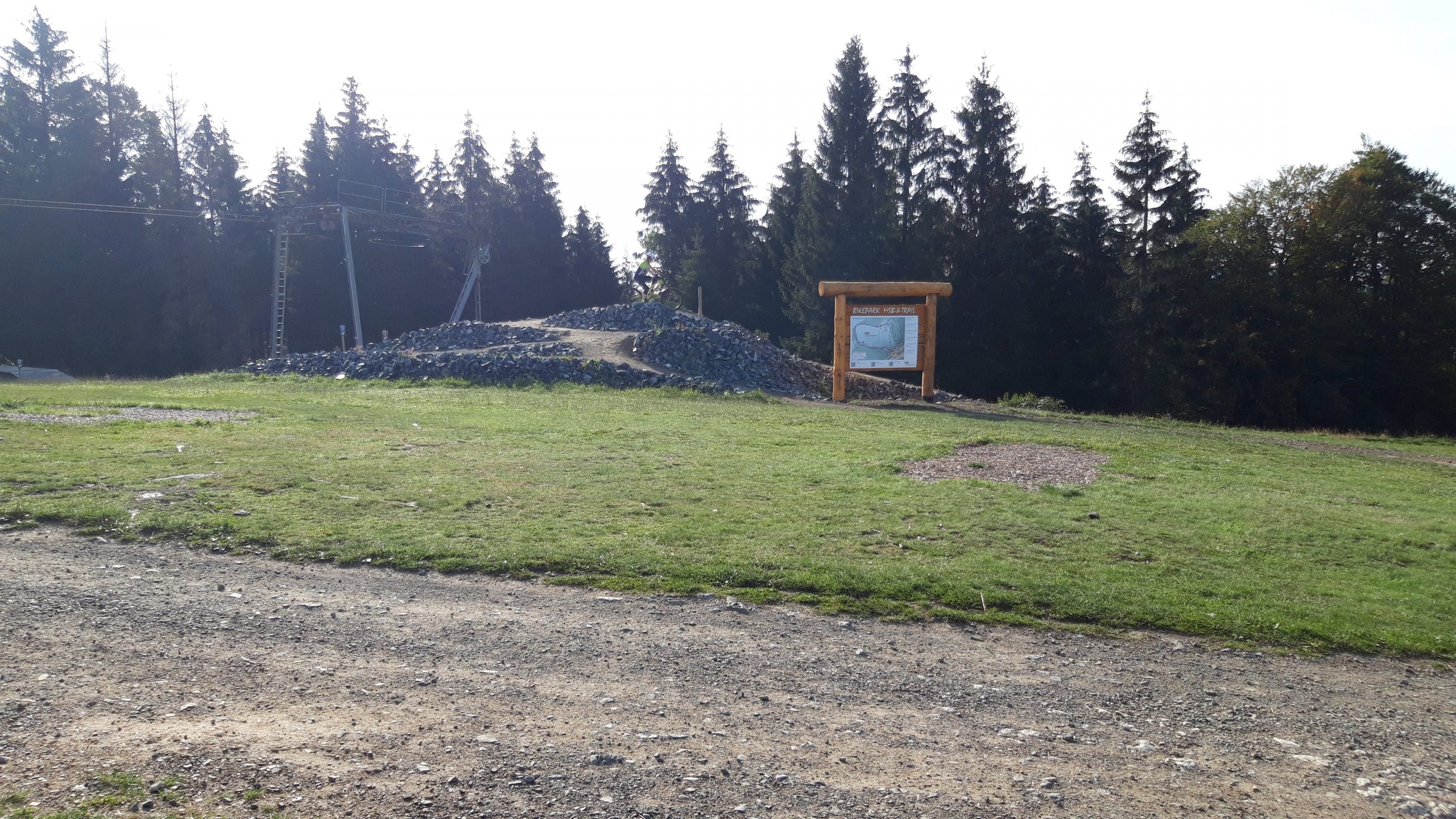
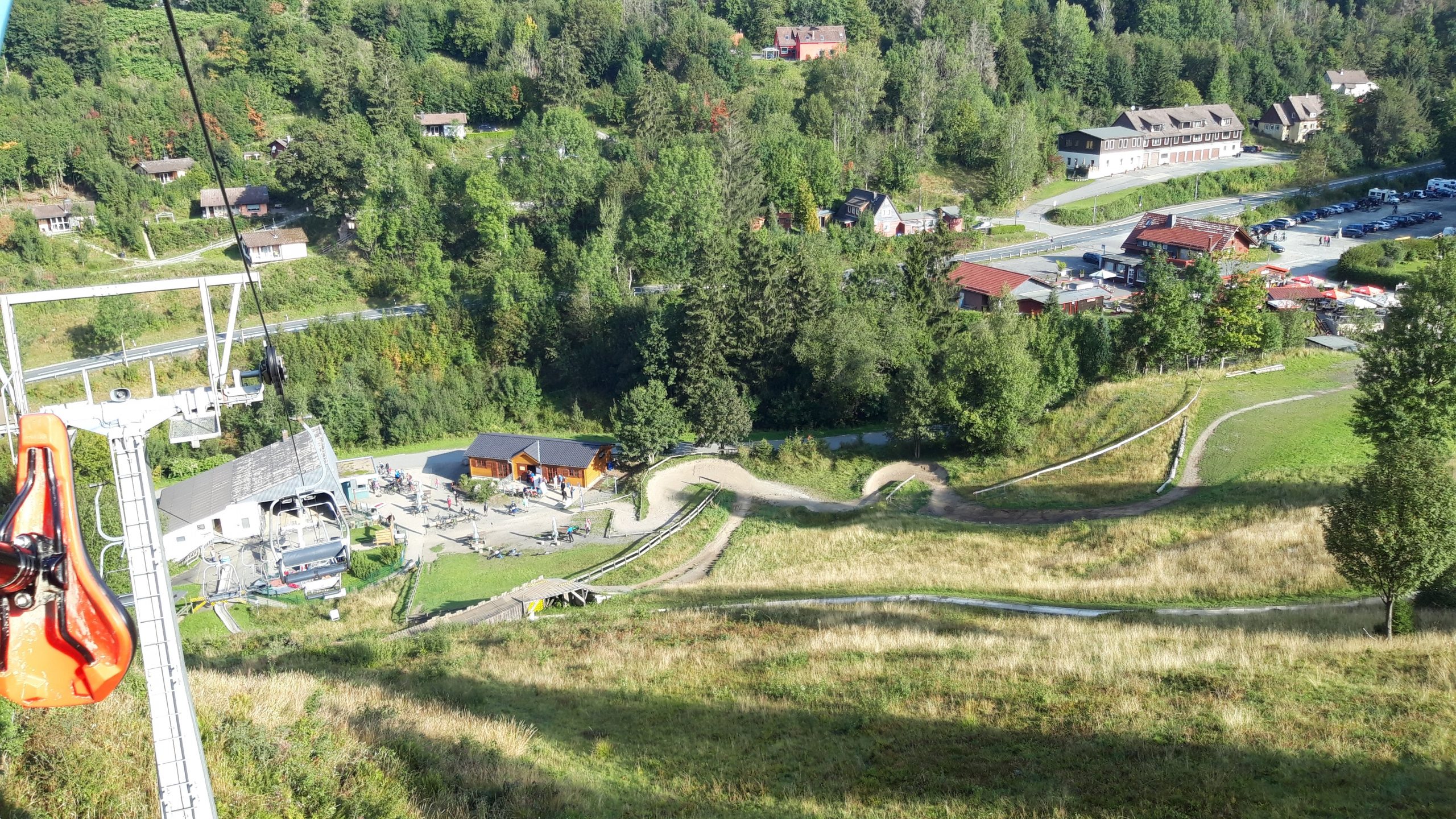
MSB-X trails – St. Andreasberg

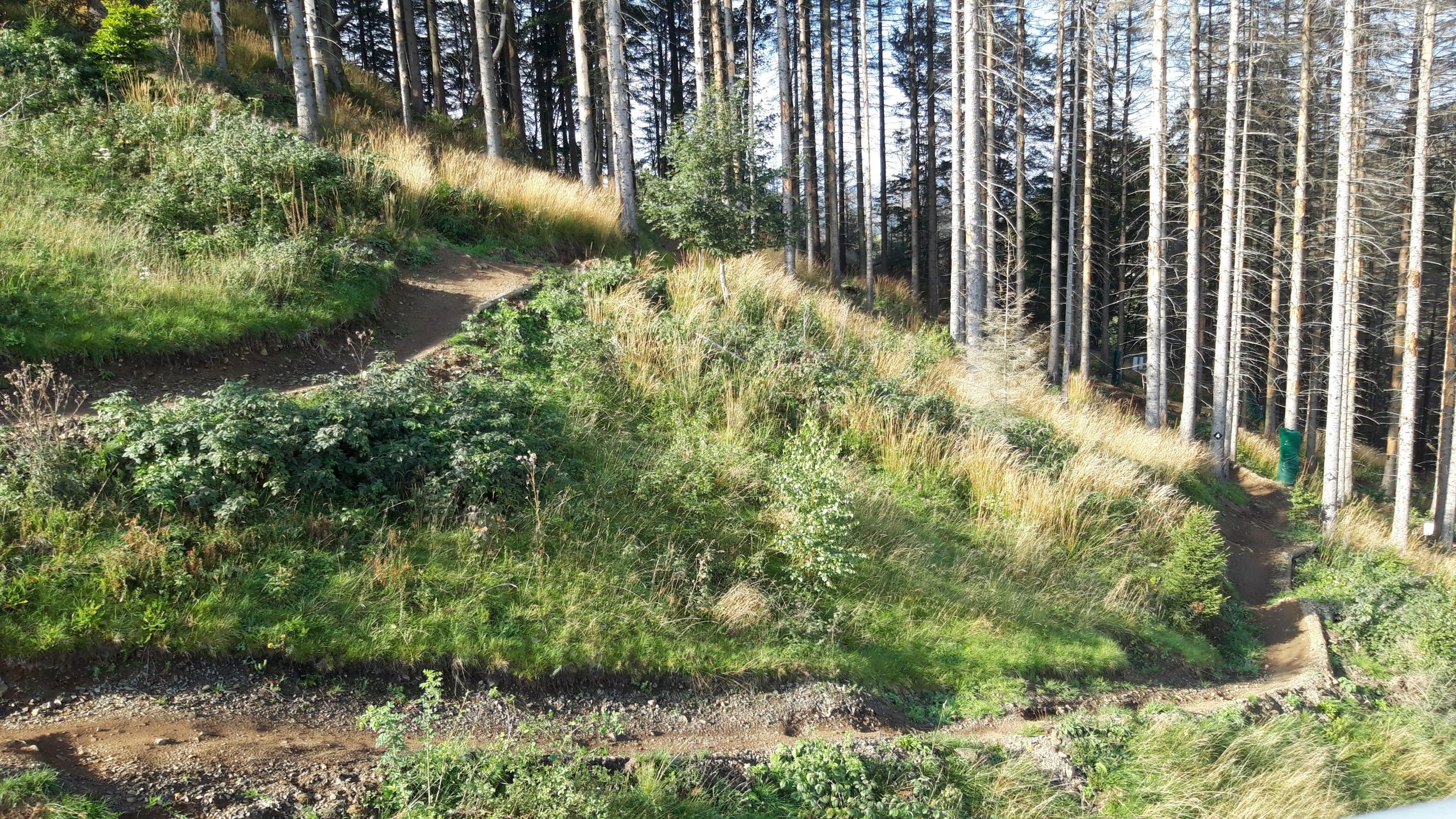
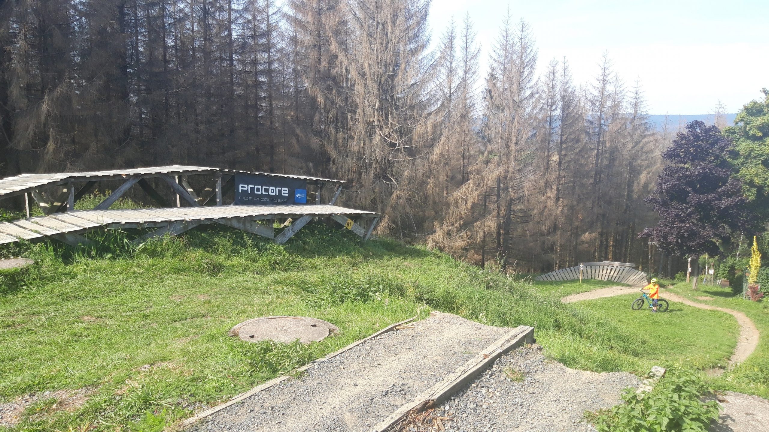
Dit bikepark ligt in de Harz (Oost Duitsland) en is met name op de beginnende downhiller gericht. De meeste afdalingen zijn niet heel moeilijk. De afdalingen aan de linkerkant zijn wel de moeite waard.

Map of the route “MSB-X trails – St. Andreasberg”: 26.701 m, 1.903 m of climbing and 1.904 m of descent, elevation between 536 m and 665 m, time 04:19:27. It is a loop that starts and ends at 51.70851, 10.52320 (latitude, longitude).

Total distance: 26758 m
Total climbing: 1903 m
Total time: 04:19:27
Download file: 2020-09-13%2013_51_35.gpx

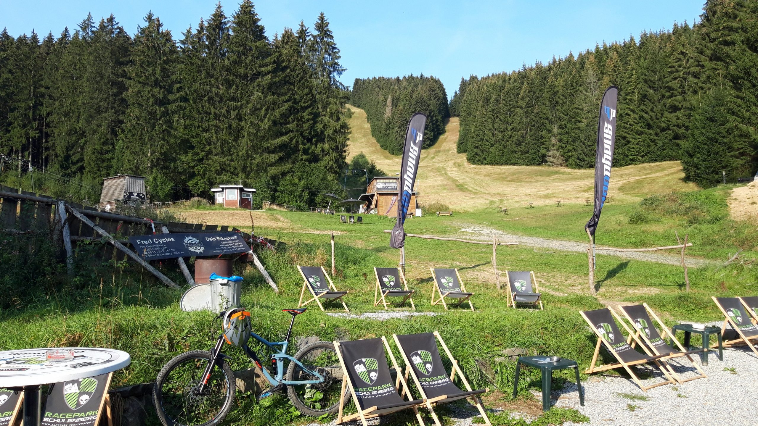
Racepark Schulenberg

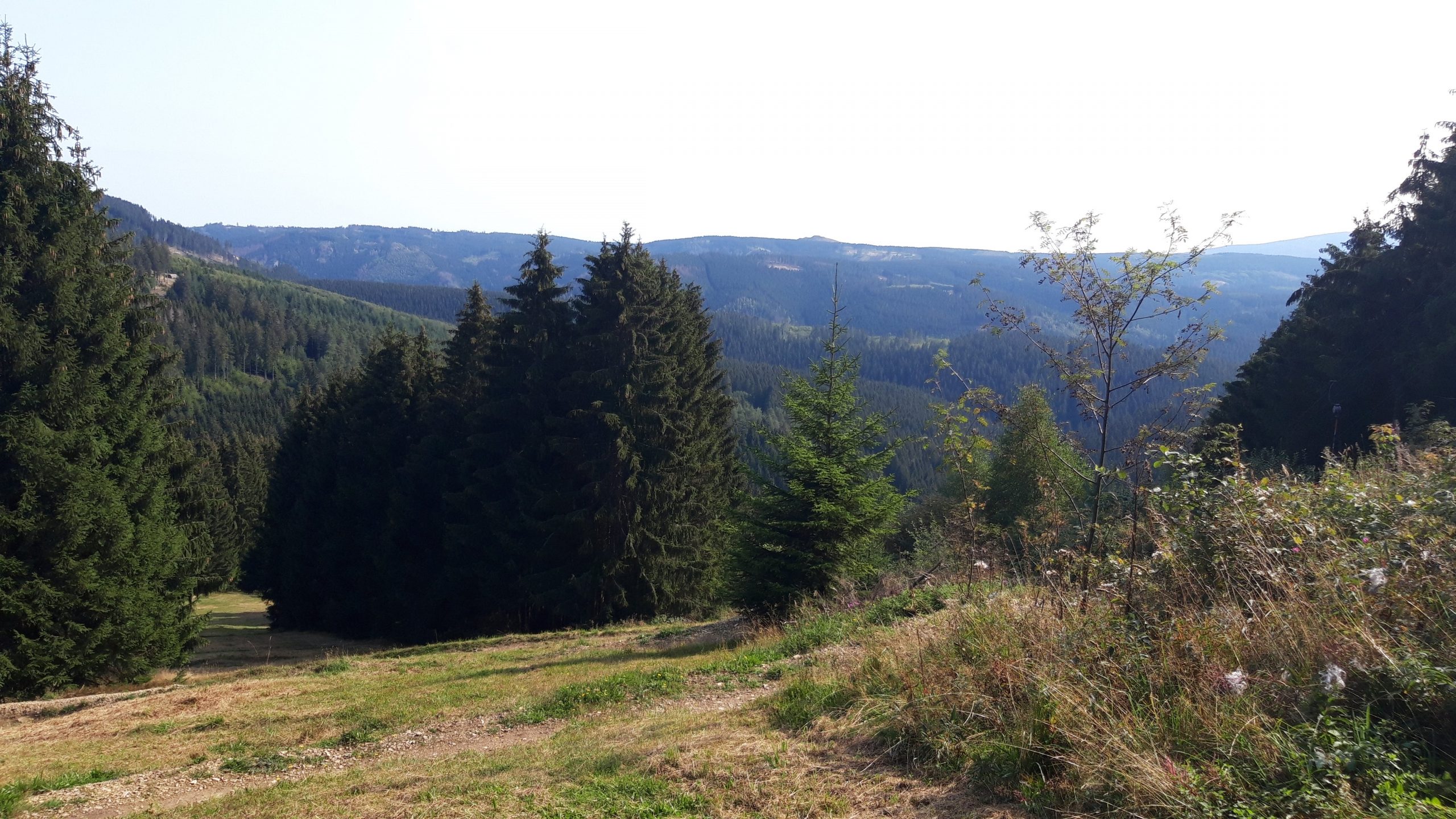
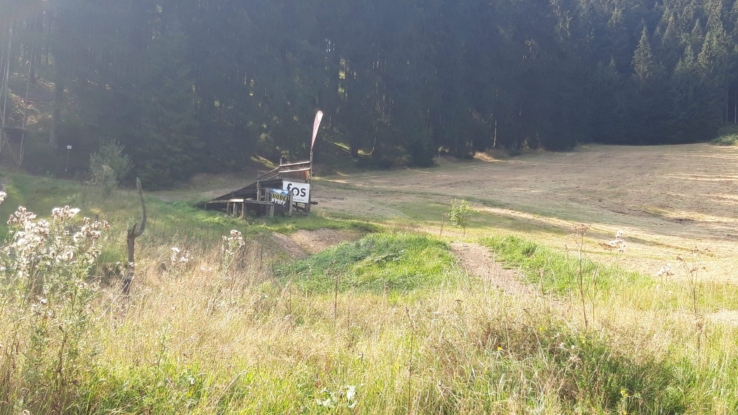
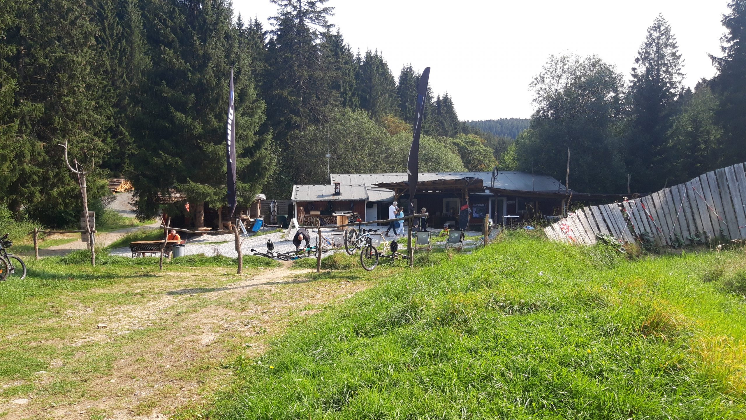
Racepark Schulenberg is een bikepark dat in de Harz (Oost Duitsland) ligt. Supertof bikepark met goede downhill tracks. Alleen in het weekend geopend. De sleeplift is even wennen, maar wel supersnel boven.

Map of the route “Racepark Schulenberg”: 57.384 m, 4.838 m of climbing and 4.839 m of descent, elevation between 415 m and 637 m, time 07:37:26. It is a loop that starts and ends at 51.84115, 10.44365 (latitude, longitude).

Total distance: 57569 m
Total climbing: 4838 m
Total time: 07:37:37
Download file: 2020-09-12%2017_21_56.gpx

Bikepark Hahnenklee

Bikepark Hahnenklee ligt in de Harz (Oost Duitsland) en is een leuk gevarieerd bikepark met goede downhill tracks. De lift is wat langzaam maar wel relaxed.

Map of the route “Bikepark Hahnenklee”: 70.030 m, 4.896 m of climbing and 4.951 m of descent, elevation between 550 m and 729 m, time 08:29:33. It starts at 51.86077, 10.34011 and ends at 51.85933, 10.34191 (latitude, longitude).

Total distance: 70264 m
Total climbing: 4896 m
Total time: 08:29:38
Download file: 2020-09-11%2017_19_18.gpx

Bikepark Holten Salland-Twente

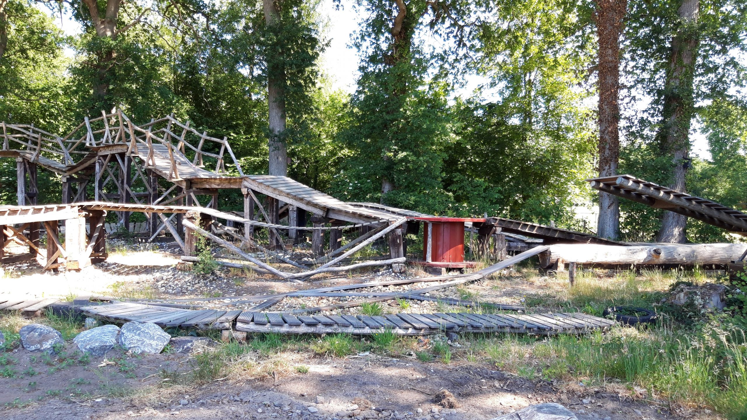
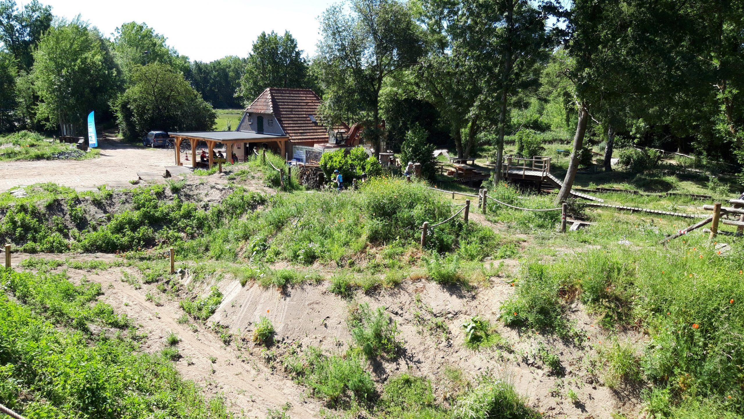
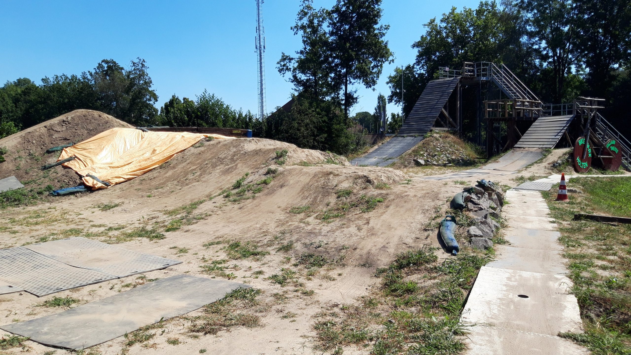
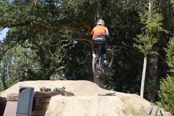
Bikepark Salland-Twente ligt in Holten en is in juni 2020 open gegaan. Het is een skills park voor alle niveaus. Het heeft ook een aantal jumplines waar je goed kunt oefenen. Zeker de moeite waard. Voornamelijk in het weekend geopend en reserveren is verplicht.

Map of the route “Bikepark Holten Salland-Twente”: 5.542 m, 248 m of climbing and 254 m of descent, elevation between 6 m and 17 m, time 03:19:51. It is a loop that starts and ends at 52.27401, 6.40377 (latitude, longitude).

Total distance: 5553 m
Total climbing: 248 m
Total time: 03:20:01
Download file: 2020-08-08%2012_20_57.gpx

Bad Iburg – Borgholzhausen

Tussen Bad-Iburg en Borgholzhausen liggen een aantal mooie endurolijnen en afdalingen met flink wat hoogtemeters. Zeker de moeite waard om eens te rijden.

Map of the route “Bad Iburg – Borgholzhausen”: 55.152 m, 1.919 m of climbing and 1.933 m of descent, elevation between 123 m and 327 m, time 04:36:32. It is a loop that starts and ends at 52.17187, 8.03758 (latitude, longitude).

Total distance: 55154 m
Total climbing: 1919 m
Total time: 04:36:33
Download file: 2020-08-02%2013_52_21.gpx

Horstel – Tecklenburg

Vanaf Horstel begint het Teutoburgerwald en kun je mooie routes maken over de heuvelrug richting Tecklenburg. Deze route combineert de mooiste trails en afdalingen die in dit stuk zijn te vinden. Dit is het mooiste gebied wat binnen een uur rijden is te vinden vanuit Drenthe.

Map of the route “Horstel – Tecklenburg”: 50.615 m, 1.691 m of climbing and 1.688 m of descent, elevation between 70 m and 191 m, time 04:32:22. It is a loop that starts and ends at 52.27976, 7.60732 (latitude, longitude).

Total distance: 50681 m
Total climbing: 1691 m
Total time: 04:32:32
Download file: 2020-07-12%2013_27_02.gpx

Saalbach – Downhill trails

Alle mooie downhill trails van Saalbach en Hinterglemm gecombineerd op één dag. De X-line, Z-line, Hacklberg trail, Buch-egg trail, Blue-line, Panorama-trail en Monti-trail.

Map of the route “Saalbach – Downhill trails”: 89.620 m, 6.733 m of climbing and 6.756 m of descent, elevation between 999 m and 2.081 m, time 06:47:21. It is a loop that starts and ends at 47.39021, 12.62758 (latitude, longitude).

Total distance: 89798 m
Total climbing: 6733 m
Total time: 06:47:21
Download file: 2020-06-26%2015_55_18.gpx